File:19th-century map of the Turkish Empire, Greece and the Caucasus.jpg

Size of this preview: 765 × 600 pixels. Other resolutions: 306 × 240 pixels | 612 × 480 pixels | 980 × 768 pixels | 1,280 × 1,004 pixels | 2,560 × 2,007 pixels | 13,315 × 10,439 pixels.
Original file (13,315 × 10,439 pixels, file size: 28.24 MB, MIME type: image/jpeg)
Captions
Captions
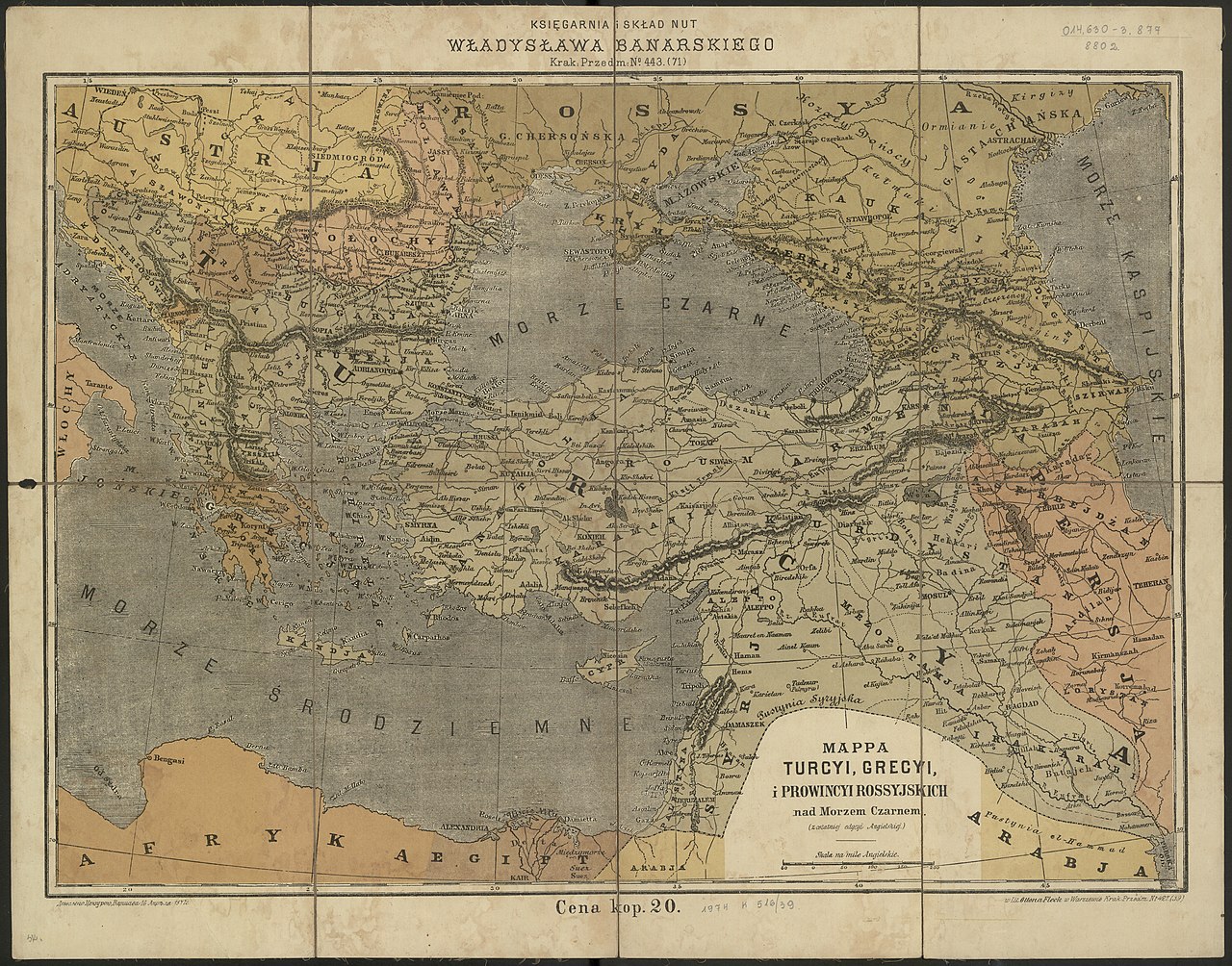
19th-century map of the Turkish Empire, Greece and the Caucasus
Summary
edit
| Warning | The original file is very high-resolution. It might not load properly or could cause your browser to freeze when opened at full size. |
|---|
| Description |
English: 19th-century map of the Turkish Empire, Greece and the Caucasus |
| Date | 1870s |
| Source | https://polona.pl/item/mappa-turcyi-grecyi-i-prowincyi-rossyjskich-nad-morzem-czarnem-z-ostatniej-edycyi,NTczNDExNzA/0/#info:metadata |
| Author |
Litografia Ottona Flecka adres wydawniczy: [Warszawa] : [s.n.], [non ante 1877] (Warszawa : Lit. Otton Flec |
Licensing
edit
|
This work is in the public domain in its country of origin and other countries and areas where the copyright term is the author's life plus 70 years or fewer. This work is in the public domain in the United States because it was published (or registered with the U.S. Copyright Office) before January 1, 1929. | |
| This file has been identified as being free of known restrictions under copyright law, including all related and neighboring rights. | |
File history
Click on a date/time to view the file as it appeared at that time.
| Date/Time | Thumbnail | Dimensions | User | Comment | |
|---|---|---|---|---|---|
| current | 10:21, 20 March 2020 | | 13,315 × 10,439 (28.24 MB) | Balkanique (talk | contribs) | Uploaded a work by Litografia Ottona Flecka adres wydawniczy: [Warszawa] : [s.n.], [non ante 1877] (Warszawa : Lit. Otton Flec from https://polona.pl/item/mappa-turcyi-grecyi-i-prowincyi-rossyjskich-nad-morzem-czarnem-z-ostatniej-edycyi,NTczNDExNzA/0/#info:metadata with UploadWizard |
You cannot overwrite this file.
File usage on Commons
The following 2 pages use this file: