File:2010-08-14 Hek bij vliegbasis Soesterberg.jpg

Size of this preview: 799 × 599 pixels. Other resolutions: 320 × 240 pixels | 640 × 480 pixels | 1,024 × 768 pixels | 1,280 × 960 pixels | 2,560 × 1,920 pixels | 3,510 × 2,633 pixels.
Original file (3,510 × 2,633 pixels, file size: 2.78 MB, MIME type: image/jpeg)
Captions
Captions
Add a one-line explanation of what this file represents
Summary
edit
| Description |
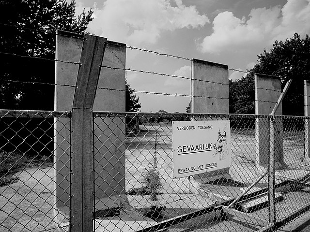
English: "Verboden toegang - GEVAARLIJK - Bewaking met honden." Afsluiting van een betonnen taxibaan op de voormalige vliegbasis, naast de Van Weerden Poelmanweg. Een test van zwart-wit conversie met Aperture.
"Do not enter - DANGEROUS - Beware guard dogs." Perimeter fence of former military airbase Soesterberg where the regular road now cuts through a concrete taxiway. B&W conversion test in Aperture. Google Streetview. |
| Date | |
| Source | https://www.flickr.com/photos/dnet/5365150047/ |
| Author | E. Dronkert |
| Camera location | | View this and other nearby images on: OpenStreetMap |
|---|
Licensing
edit
This file is licensed under the Creative Commons Attribution 2.0 Generic license.
- You are free:
- to share – to copy, distribute and transmit the work
- to remix – to adapt the work
- Under the following conditions:
- attribution – You must give appropriate credit, provide a link to the license, and indicate if changes were made. You may do so in any reasonable manner, but not in any way that suggests the licensor endorses you or your use.
| This image was originally posted to Flickr by ednl at https://flickr.com/photos/31392863@N04/5365150047 (archive). It was reviewed on 6 March 2020 by FlickreviewR 2 and was confirmed to be licensed under the terms of the cc-by-2.0. |
File history
Click on a date/time to view the file as it appeared at that time.
| Date/Time | Thumbnail | Dimensions | User | Comment | |
|---|---|---|---|---|---|
| current | 16:01, 6 March 2020 | | 3,510 × 2,633 (2.78 MB) | Eissink (talk | contribs) | Uploaded a work by E. Dronkert from https://www.flickr.com/photos/dnet/5365150047/ with UploadWizard |
You cannot overwrite this file.
File usage on Commons
The following page uses this file: