File:2010-10-2 宇陀川 - panoramio (1).jpg
Size of this preview: 800 × 600 pixels. Other resolutions: 320 × 240 pixels | 640 × 480 pixels | 1,024 × 768 pixels.
Original file (1,024 × 768 pixels, file size: 334 KB, MIME type: image/jpeg)
Captions
Captions
Add a one-line explanation of what this file represents
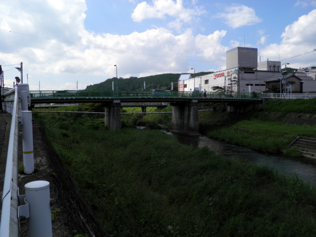
| Description | 2010/10/2 宇陀川 | ||
| Date | Taken on 2 October 2010 | ||
| Source | https://web.archive.org/web/20161112043901/http://www.panoramio.com/photo/41569019 | ||
| Author | ys1979 | ||
| Permission (Reusing this file) |
This file is licensed under the Creative Commons Attribution 3.0 Unported license. Attribution: ys1979
|
||
| Tags (from Panoramio photo page) | Uda, 2010, 奈良県, 宇陀市, 日本 |
| Camera location | | View this and other nearby images on: OpenStreetMap |
|---|
.jpg¶ms=034.526344_N_0135.952179_E_globe:Earth_type:camera_source:Panoramio_&language=en)
File history
Click on a date/time to view the file as it appeared at that time.
| Date/Time | Thumbnail | Dimensions | User | Comment | |
|---|---|---|---|---|---|
| current | 04:24, 12 November 2016 | | 1,024 × 768 (334 KB) | Panoramio upload bot (talk | contribs) | {{Information |description=2010/10/2 宇陀川 |date={{Taken on|2010-10-02}} |source=http://www.panoramio.com/photo/41569019 |author=[http://www.panoramio.com/user/3770458?with_photo_id=41569019 ys1979] |permission={{cc-by-3.0|ys1979}} {{Panoramiorevie... |
You cannot overwrite this file.
File usage on Commons
There are no pages that use this file.
.jpg&oldid=750462571)