File:20100418 Maximianoupolis Mosynopolis Rhodope Thrace Greece 2.jpg

Size of this preview: 800 × 532 pixels. Other resolutions: 320 × 213 pixels | 640 × 426 pixels | 1,024 × 681 pixels | 1,280 × 852 pixels | 2,560 × 1,703 pixels | 4,256 × 2,832 pixels.
Original file (4,256 × 2,832 pixels, file size: 4.34 MB, MIME type: image/jpeg)
Captions
Captions
Add a one-line explanation of what this file represents
Summary edit
| Description |
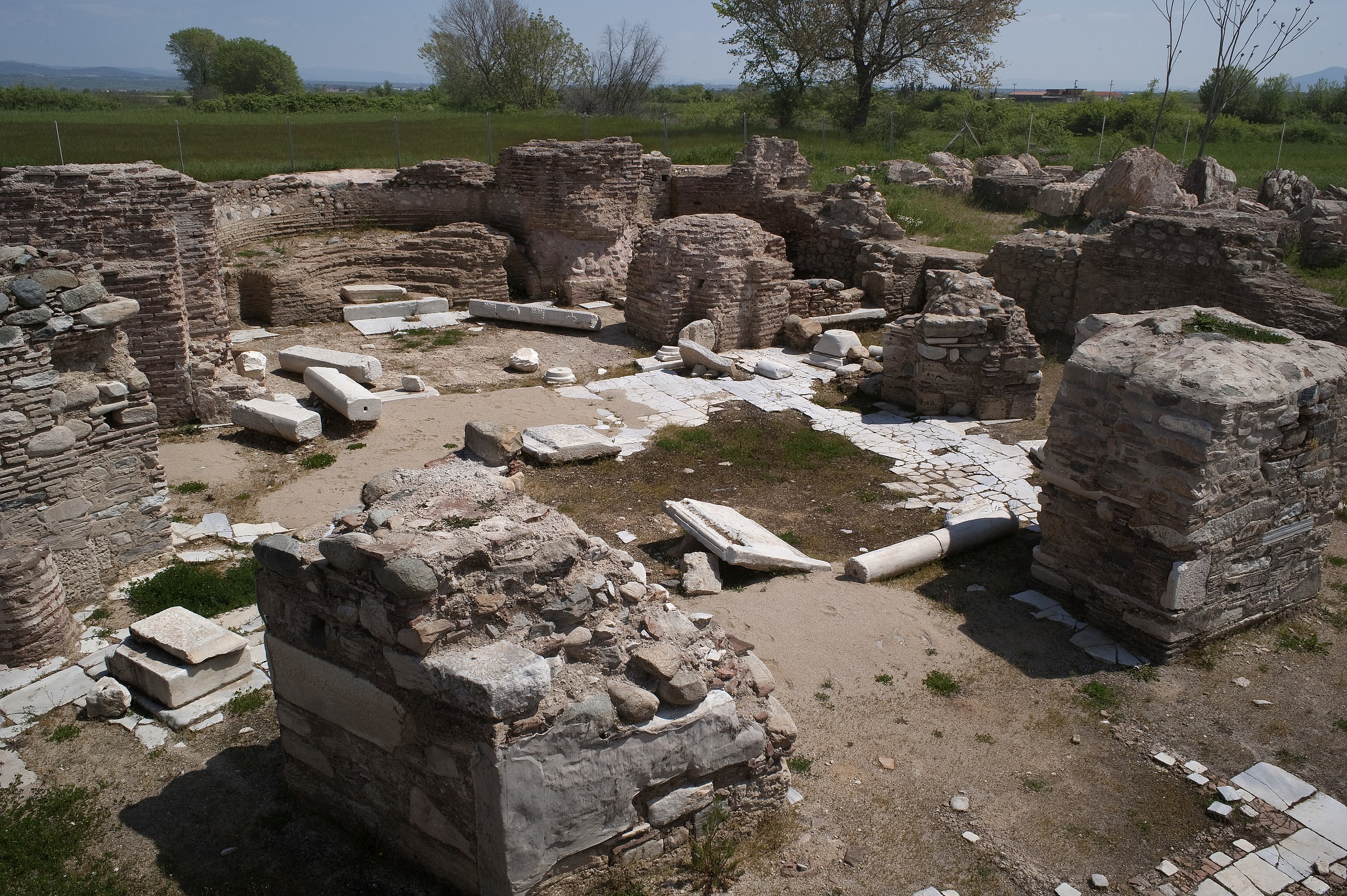
English: Maximianoupolis - Mosynopolis: Α Central plan church, Rhodope, Thrace, Greece.
Ελληνικά: Μαξιμιανούπολις - Μοσυνόπολις: Ο περίκεντρος ναός, Ροδόπης, Θράκη, Ελλάδα. |
| Date | |
| Source | Own work |
| Author | Ggia |
| Permission (Reusing this file) |
Creative Commons License 3.0 Share-Alike |
| Camera location | | View this and other nearby images on: OpenStreetMap |
|---|
Licensing edit
I, the copyright holder of this work, hereby publish it under the following license:
This file is licensed under the Creative Commons Attribution-Share Alike 3.0 Unported license.
- You are free:
- to share – to copy, distribute and transmit the work
- to remix – to adapt the work
- Under the following conditions:
- attribution – You must give appropriate credit, provide a link to the license, and indicate if changes were made. You may do so in any reasonable manner, but not in any way that suggests the licensor endorses you or your use.
- share alike – If you remix, transform, or build upon the material, you must distribute your contributions under the same or compatible license as the original.
File history
Click on a date/time to view the file as it appeared at that time.
| Date/Time | Thumbnail | Dimensions | User | Comment | |
|---|---|---|---|---|---|
| current | 12:15, 20 April 2010 | | 4,256 × 2,832 (4.34 MB) | Ggia (talk | contribs) | {{Information |Description={{en|1=Maximianoupolis - Mosynopolis, Rhodope, Thrace, Greece.}} {{el|1=Μαξιμιανούπολις - Μοσυνόπολις, Ροδόπης, Θράκη, Ελλάδα.}} |Source={{own}} |Author=Ggia |Date=2010-0 |
You cannot overwrite this file.
File usage on Commons
The following page uses this file:
File usage on other wikis
The following other wikis use this file:
- Usage on ar.wikipedia.org
- Usage on ca.wikipedia.org
- Usage on da.wikipedia.org
- Usage on de.wikivoyage.org
- Usage on el.wikipedia.org
- Usage on en.wikipedia.org
- Usage on en.wikivoyage.org
- Usage on es.wikipedia.org
- Usage on fr.wikipedia.org
- Usage on it.wikipedia.org
- Usage on pl.wikipedia.org
- Usage on pt.wikipedia.org
- Usage on www.wikidata.org