File:2011-04-22 Franzburg-Richtenberger-See Panorama-Süd-Ost DSCN0119.jpg

Size of this preview: 800 × 200 pixels. Other resolutions: 320 × 80 pixels | 640 × 160 pixels | 1,024 × 256 pixels | 1,280 × 320 pixels | 5,000 × 1,249 pixels.
Original file (5,000 × 1,249 pixels, file size: 826 KB, MIME type: image/jpeg)
Captions
Captions
Add a one-line explanation of what this file represents
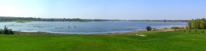
| Description | Richtenberger See - Lake of Richtenberg - Panoramablick aus dem Süd-Osten des Sees |
| Date | |
| Source | Own work |
| Author | JanRehschuh |
| Permission (Reusing this file) |
I, the copyright holder of this work, hereby publish it under the following license: This file is licensed under the Creative Commons Attribution-Share Alike 3.0 Unported license.
|
| Camera location | | View this and other nearby images on: OpenStreetMap |
|---|
File history
Click on a date/time to view the file as it appeared at that time.
| Date/Time | Thumbnail | Dimensions | User | Comment | |
|---|---|---|---|---|---|
| current | 15:22, 27 April 2011 | 5,000 × 1,249 (826 KB) | JanRehschuh (talk | contribs) | {{Information |Description= Richtenberger See - Lake of Richtenberg - Panoramablick aus dem Süd-Osten des Sees |Source={{own}} |Date= |Author=JanRehschuh |Permission= |other_versions= }} Category:Franzburg [[Category:Richtenberg] |
You cannot overwrite this file.
File usage on Commons
There are no pages that use this file.
File usage on other wikis
The following other wikis use this file:
- Usage on de.wikipedia.org
- Usage on en.wikipedia.org