File:2011-05-21-ouvrage-g-1.jpg

Size of this preview: 800 × 531 pixels. Other resolutions: 320 × 213 pixels | 640 × 425 pixels | 1,024 × 680 pixels | 1,280 × 850 pixels | 2,560 × 1,700 pixels | 4,288 × 2,848 pixels.
Original file (4,288 × 2,848 pixels, file size: 11 MB, MIME type: image/jpeg)
Captions
Captions
Add a one-line explanation of what this file represents
Summary
edit| Description |
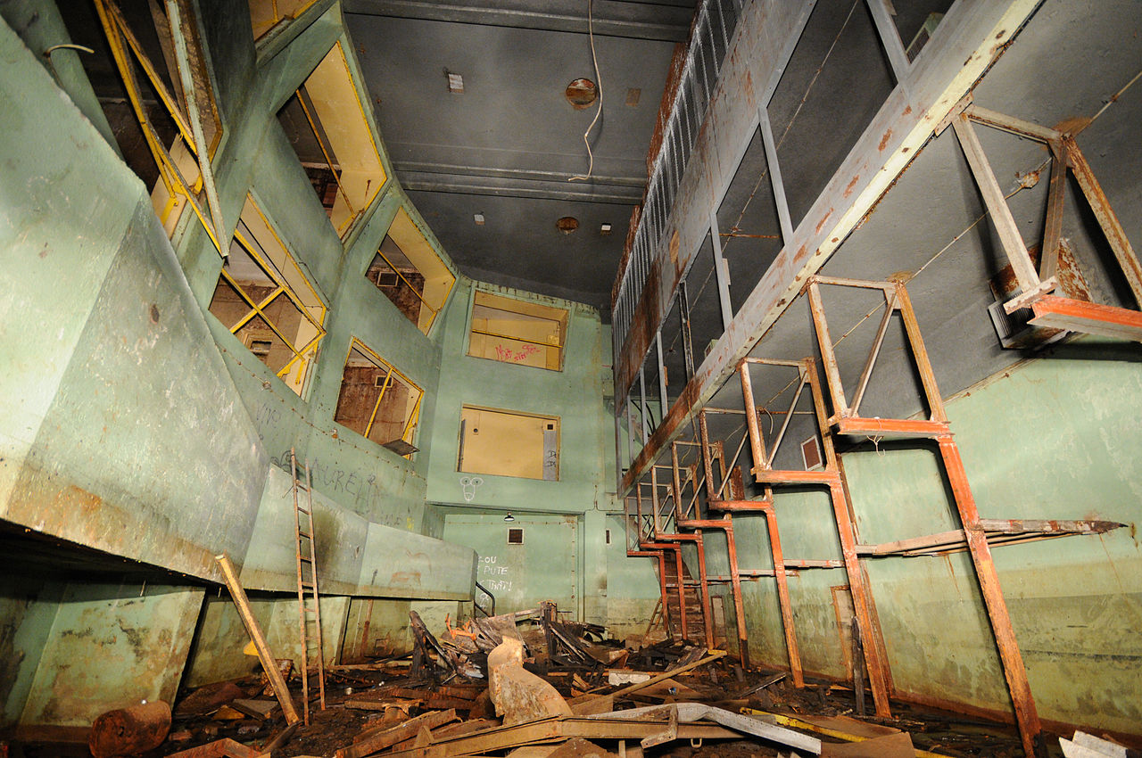
This file was uploaded with Commonist. This photograph was taken with a Nikon D300 La salle d'opérations. Salbert hill fortifications. Old NATO station (lightpainting). |
||||||||||||||||||||||
| Date | |||||||||||||||||||||||
| Source | Own work | ||||||||||||||||||||||
| Author |
|
||||||||||||||||||||||

| Camera location | | View this and other nearby images on: OpenStreetMap |
|---|
Licensing
edit
This file is licensed under the Creative Commons Attribution 3.0 Unported license.
- You are free:
- to share – to copy, distribute and transmit the work
- to remix – to adapt the work
- Under the following conditions:
- attribution – You must give appropriate credit, provide a link to the license, and indicate if changes were made. You may do so in any reasonable manner, but not in any way that suggests the licensor endorses you or your use.
This image has been assessed using the Quality image guidelines and is considered a Quality image.
|
File history
Click on a date/time to view the file as it appeared at that time.
| Date/Time | Thumbnail | Dimensions | User | Comment | |
|---|---|---|---|---|---|
| current | 11:42, 21 May 2011 | | 4,288 × 2,848 (11 MB) | ComputerHotline (talk | contribs) |
You cannot overwrite this file.
File usage on Commons
The following 9 pages use this file:
- Ouvrage "G" de la D.A.T. (3)
- User:ComputerHotline/Archive 6
- User:ComputerHotline/Fort du Salbert
- Commons:Quality images/Subject/Places/Man made structures/Buildings, Exterior/Part 1
- Commons:Quality images candidates/Archives May 2011
- Commons:Valued image candidates/2011-05-21-ouvrage-g-1.jpg
- Commons talk:Quality images/Subject/Places/Man made structures
- Category:Exterior of the Ouvrage "G" de la D.A.T.
- Category:Interior of the Ouvrage "G" de la D.A.T.
File usage on other wikis
The following other wikis use this file:
- Usage on en.wikipedia.org
- Usage on fr.wikipedia.org
- Usage on www.wikidata.org