File:20110419 Ani North Walls Turkey Panorama Close View.jpg

Size of this preview: 800 × 186 pixels. Other resolutions: 320 × 74 pixels | 640 × 149 pixels | 1,024 × 238 pixels | 1,280 × 298 pixels | 7,843 × 1,825 pixels.
Original file (7,843 × 1,825 pixels, file size: 12.38 MB, MIME type: image/jpeg)
Captions
Captions
Add a one-line explanation of what this file represents
Summary
edit
| Description |
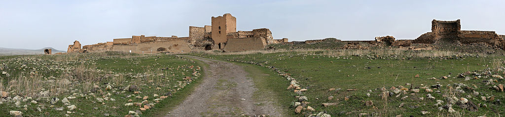
English: North wall of Ani, Turkey.
Ελληνικά: Βόρειο οχύρωμα του Ανί, Τουρκία. |
| Date | |
| Source | Own work |
| Author | Ggia |
| Permission (Reusing this file) |
Creative Commons License 3.0 Share-Alike |
| Camera location | | View this and other nearby images on: OpenStreetMap |
|---|
This image was created with Hugin.
Πηγή:
edit
Own work
Licensing
edit
I, the copyright holder of this work, hereby publish it under the following license:
This file is licensed under the Creative Commons Attribution-Share Alike 3.0 Unported license.
- You are free:
- to share – to copy, distribute and transmit the work
- to remix – to adapt the work
- Under the following conditions:
- attribution – You must give appropriate credit, provide a link to the license, and indicate if changes were made. You may do so in any reasonable manner, but not in any way that suggests the licensor endorses you or your use.
- share alike – If you remix, transform, or build upon the material, you must distribute your contributions under the same or compatible license as the original.
File history
Click on a date/time to view the file as it appeared at that time.
| Date/Time | Thumbnail | Dimensions | User | Comment | |
|---|---|---|---|---|---|
| current | 09:16, 21 January 2013 | 7,843 × 1,825 (12.38 MB) | Slick-o-bot (talk | contribs) | Bot: convert to a non-interlaced jpeg image (see bugzilla:17645) | |
| 16:38, 10 June 2011 | 7,843 × 1,825 (11.14 MB) | Ggia (talk | contribs) | == {{int:filedesc}} == {{Information |Description ={{en|1=North wall of Ani, Turkey.}} {{el|1=Βόρειο οχύρωμα του Ανί, Τουρκία.}} |Source ={{own}} |Author =Ggia |Date |
You cannot overwrite this file.
File usage on Commons
The following 4 pages use this file:
File usage on other wikis
The following other wikis use this file:
- Usage on crh.wikipedia.org
- Usage on cv.wikipedia.org
- Usage on hy.wikipedia.org
- Usage on lbe.wikipedia.org
- Usage on os.wikipedia.org
- Usage on sah.wikipedia.org
- Usage on xal.wikipedia.org