File:2012-09-21 Amtsgericht Karlsruhe-Durlach.JPG
Size of this preview: 800 × 533 pixels. Other resolutions: 320 × 213 pixels | 640 × 427 pixels | 1,024 × 683 pixels | 1,280 × 853 pixels | 2,560 × 1,707 pixels | 3,888 × 2,592 pixels.
Original file (3,888 × 2,592 pixels, file size: 5.39 MB, MIME type: image/jpeg)
Captions
Captions
Add a one-line explanation of what this file represents
| Description |
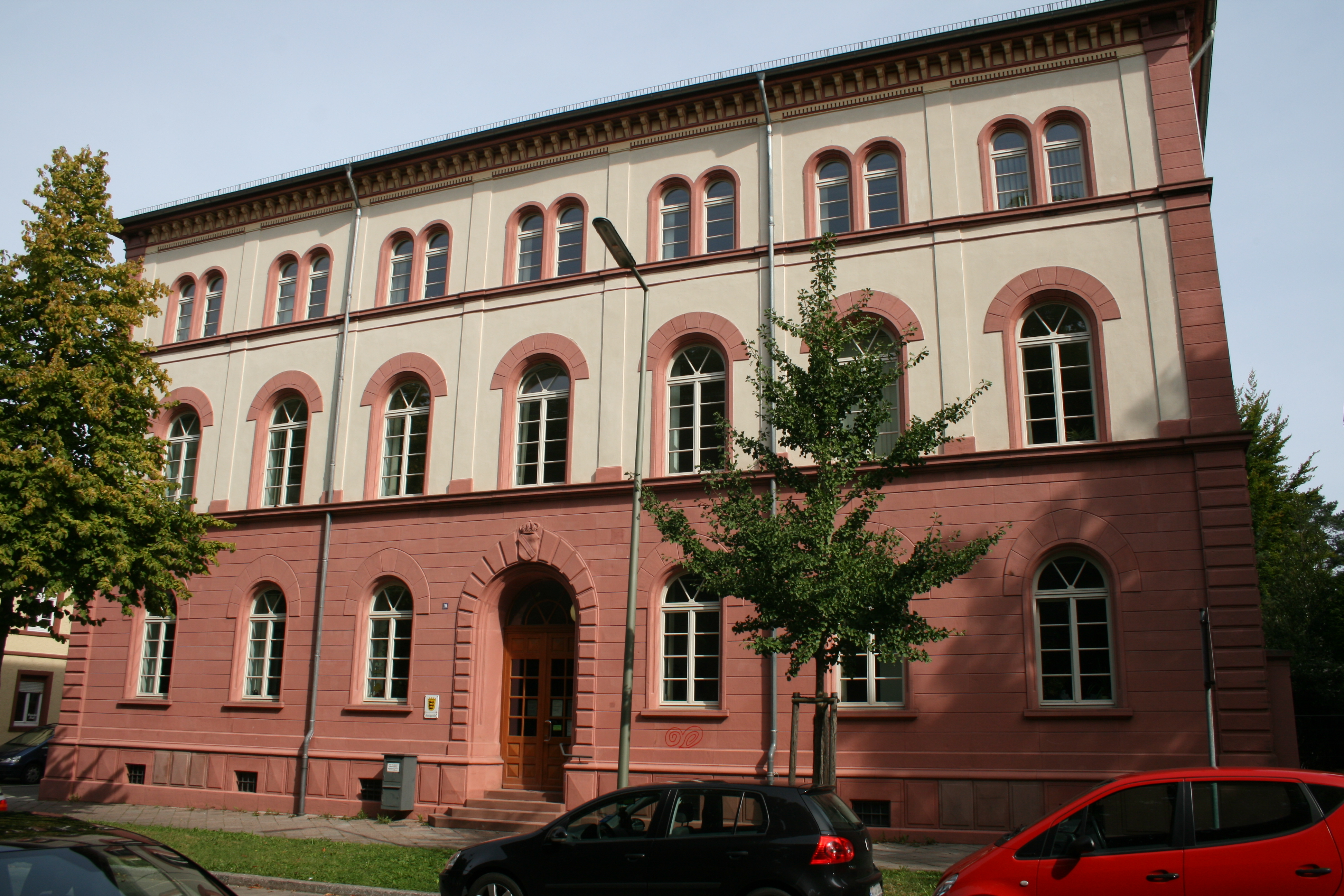
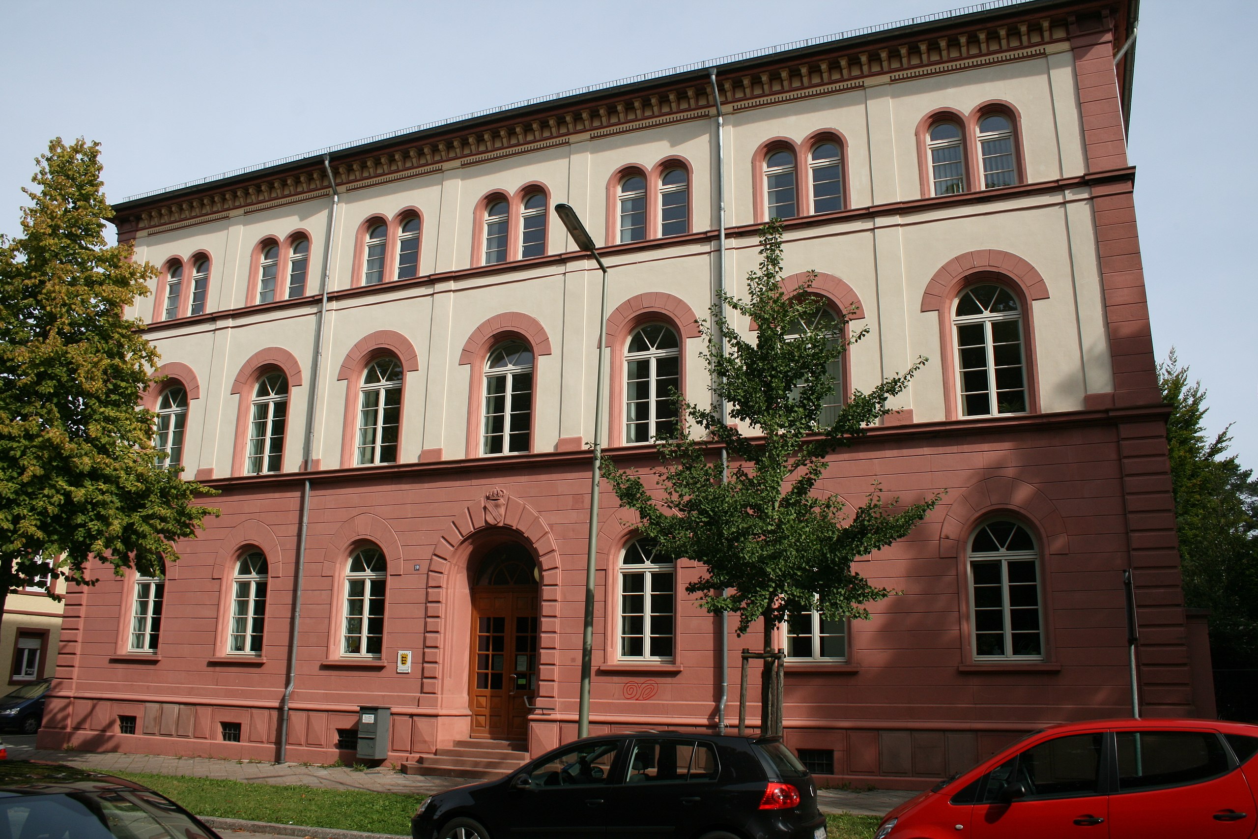
English: Building of the Amtsgericht Karlsruhe-Durlach, the Local Court of Karlsruhe-Durlach
Deutsch: Gebäude des Amtsgerichts Karlsruhe-Durlach |
| Date | |
| Source | Own work |
| Author | ireas |
| Permission (Reusing this file) |
I, the copyright holder of this work, hereby publish it under the following license: This file is licensed under the Creative Commons Attribution-Share Alike 4.0 International license.
|
| Attribution (required by the license) | © Robin Krahl, CC-by-sa 4.0. Source: Wikimedia Commons. |
| Reuse | You can use this image free of charge with the free licenses offered below. Please include the credit line (Attribution) given above in an appropriate place (next to the image, or in your list of image sources, etc.), to establish a reasonable link between the image and the credit line. If you use this image in projects not related to Wikimedia (e.g. in a book or on your website), please send me an email. Thank you very much! Contact me if you need a special version of this image (a detail, a different focussing or resolution etc.) or any special permission or comment. |
| Object location | | View this and other nearby images on: OpenStreetMap |
|---|
| Camera location | | View this and other nearby images on: OpenStreetMap |
|---|
File history
Click on a date/time to view the file as it appeared at that time.
| Date/Time | Thumbnail | Dimensions | User | Comment | |
|---|---|---|---|---|---|
| current | 23:16, 18 March 2014 | | 3,888 × 2,592 (5.39 MB) | Ireas (talk | contribs) | {{Information |Description ={{en|1=Building of the ''Amtsgericht Karlsruhe-Durlach'', the Local Court of Karlsruhe-Durlach}} {{de|1=Gebäude des Amtsgerichts Karlsruhe-Durlach}} |Source =... |
You cannot overwrite this file.
File usage on Commons
The following page uses this file:
File usage on other wikis
The following other wikis use this file:
- Usage on de.wikipedia.org
- Usage on www.wikidata.org