File:2013-02-17 15-17-11 South Africa - Simon'S Town Seaforth 5h.JPG

Size of this preview: 799 × 141 pixels. Other resolutions: 320 × 57 pixels | 640 × 113 pixels | 1,024 × 181 pixels | 1,280 × 226 pixels | 11,411 × 2,016 pixels.
Original file (11,411 × 2,016 pixels, file size: 12 MB, MIME type: image/jpeg)
Captions
Captions
Add a one-line explanation of what this file represents
Summary edit
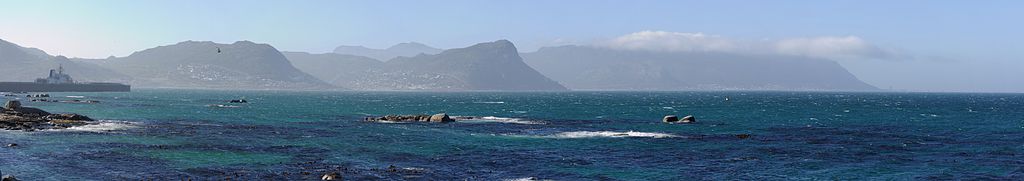
| Description | coast in Simon's Town | ||
| Date | |||
| Source | Own work: Hansueli Krapf (User Simisa (talk · contribs)) | ||
| Author |
Hansueli Krapf This file was uploaded with Commonist.
|
||
| Permission (Reusing this file) |
I, the copyright holder of this work, hereby publish it under the following license: This file is licensed under the Creative Commons Attribution-Share Alike 3.0 Unported license.
|

| Camera location | | View this and other nearby images on: OpenStreetMap |
|---|
File history
Click on a date/time to view the file as it appeared at that time.
| Date/Time | Thumbnail | Dimensions | User | Comment | |
|---|---|---|---|---|---|
| current | 08:56, 5 March 2013 | 11,411 × 2,016 (12 MB) | Simisa (talk | contribs) |
You cannot overwrite this file.
File usage on Commons
There are no pages that use this file.