File:2013 map 2nd Barnstable district Massachusetts House of Representatives DC10SLDL25061 001.png

Size of this preview: 675 × 599 pixels. Other resolutions: 270 × 240 pixels | 541 × 480 pixels | 865 × 768 pixels | 1,153 × 1,024 pixels | 2,306 × 2,048 pixels | 5,405 × 4,800 pixels.
Original file (5,405 × 4,800 pixels, file size: 7.19 MB, MIME type: image/png)
Captions
Captions
Add a one-line explanation of what this file represents
Summary edit
| Description |
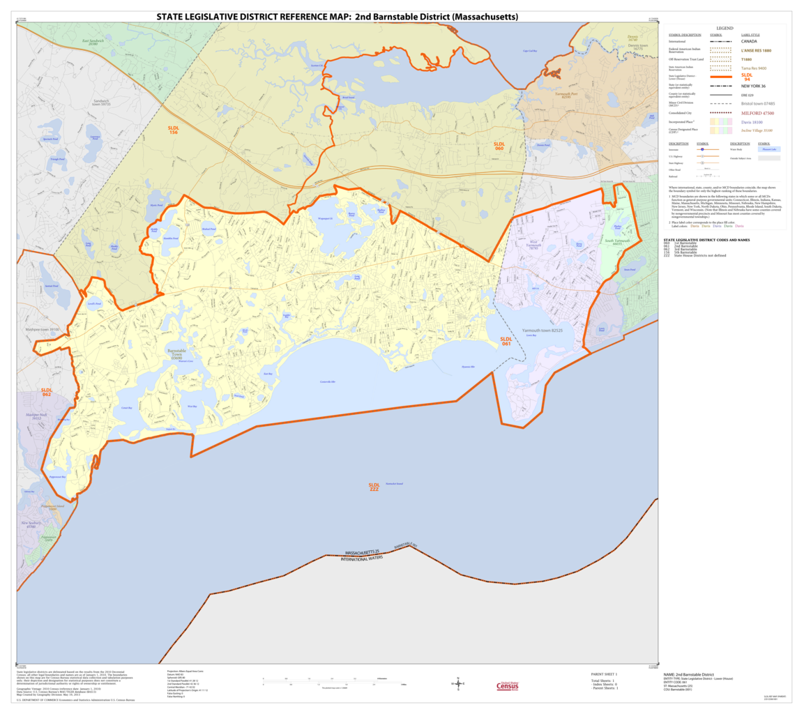
English: Massachusetts House of Representatives district map. Based on 2010 census. |
| Date | |
| Source |
US Census Bureau, 2018 State Legislative District Reference Maps / https://www.census.gov/geographies/reference-maps/2018/geo/2018-state-leg-districts1.html Lower Chamber Maps: Massachusetts / https://www2.census.gov/geo/maps/dc10map/SLD_RefMap/lower/st25_ma/ |
| Author | United States Census Bureau |
Licensing edit
This image or file is a work of a United States Census Bureau employee, taken or made as part of that person's official duties. As a work of the U.S. federal government, the image is in the public domain.
|
 |
File history
Click on a date/time to view the file as it appeared at that time.
| Date/Time | Thumbnail | Dimensions | User | Comment | |
|---|---|---|---|---|---|
| current | 13:07, 31 August 2020 | | 5,405 × 4,800 (7.19 MB) | M2545 (talk | contribs) | == {{int:filedesc}} == {{Information |description={{en|1=Massachusetts House of Representatives district map. Based on 2010 census.}} |date= 2013 |source=US Census Bureau, 2018 State Legislative District Reference Maps / https://www.census.gov/geographies/reference-maps/2018/geo/2018-state-leg-districts1.html Lower Chamber Maps: Massachusetts / https://www2.census.gov/geo/maps/dc10map/SLD_RefMap/lower/st25_ma/ |author=United States Census Bureau |permission= |other versions= }} [[Category:Ma... |
You cannot overwrite this file.
File usage on Commons
The following 2 pages use this file:
File usage on other wikis
The following other wikis use this file:
- Usage on en.wikipedia.org
- Usage on www.wikidata.org