File:2015-09-11-084846 - Auf dem Karakorum Highway.jpg

Size of this preview: 799 × 164 pixels. Other resolutions: 320 × 66 pixels | 640 × 131 pixels | 1,024 × 210 pixels | 1,280 × 263 pixels | 2,560 × 526 pixels | 17,540 × 3,601 pixels.
Original file (17,540 × 3,601 pixels, file size: 15.94 MB, MIME type: image/jpeg)
Captions
Captions
Add a one-line explanation of what this file represents
Summary edit
| Description |
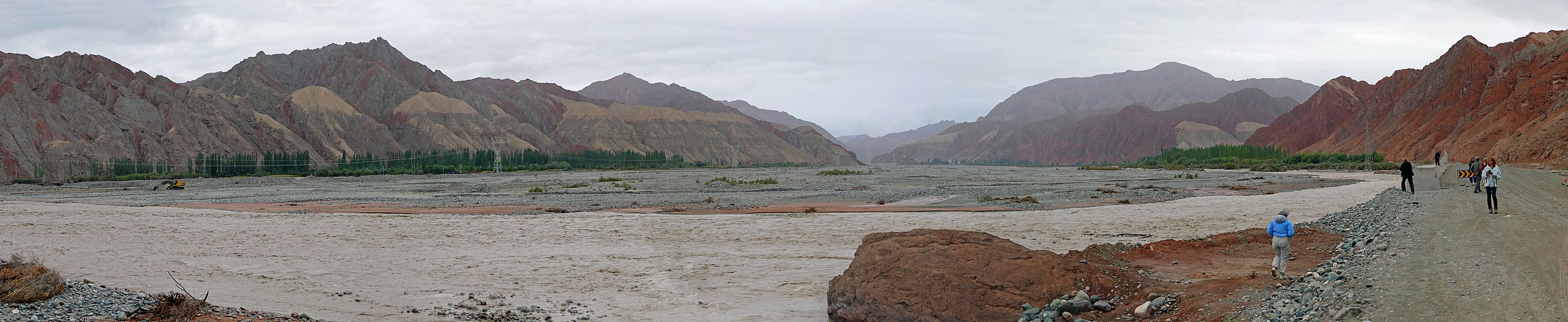
English: Bad weather on the Karakoram Highway
Deutsch: Schlechtes Wetter auf dem Karakorum Highway |
| Date | |
| Source | Own work |
| Author | Zossolino |
| Camera location | | View this and other nearby images on: OpenStreetMap |
|---|
Siehe ein Video unter folgendem Link: See a video at the following link: https://vimeo.com/153289252#t=05m18s
Licensing edit
I, the copyright holder of this work, hereby publish it under the following license:
This file is licensed under the Creative Commons Attribution-Share Alike 4.0 International license.
- You are free:
- to share – to copy, distribute and transmit the work
- to remix – to adapt the work
- Under the following conditions:
- attribution – You must give appropriate credit, provide a link to the license, and indicate if changes were made. You may do so in any reasonable manner, but not in any way that suggests the licensor endorses you or your use.
- share alike – If you remix, transform, or build upon the material, you must distribute your contributions under the same or compatible license as the original.
File history
Click on a date/time to view the file as it appeared at that time.
| Date/Time | Thumbnail | Dimensions | User | Comment | |
|---|---|---|---|---|---|
| current | 10:05, 12 May 2016 | 17,540 × 3,601 (15.94 MB) | Zossolino (talk | contribs) | User created page with UploadWizard |
You cannot overwrite this file.
File usage on Commons
There are no pages that use this file.