File:20150125111756 Cerro Copado cliffs.jpg
Size of this preview: 800 × 578 pixels. Other resolutions: 320 × 231 pixels | 640 × 463 pixels | 1,024 × 740 pixels | 1,280 × 925 pixels | 2,493 × 1,802 pixels.
Original file (2,493 × 1,802 pixels, file size: 611 KB, MIME type: image/jpeg)
Captions
Captions
Add a one-line explanation of what this file represents
Summary
edit
| Description |
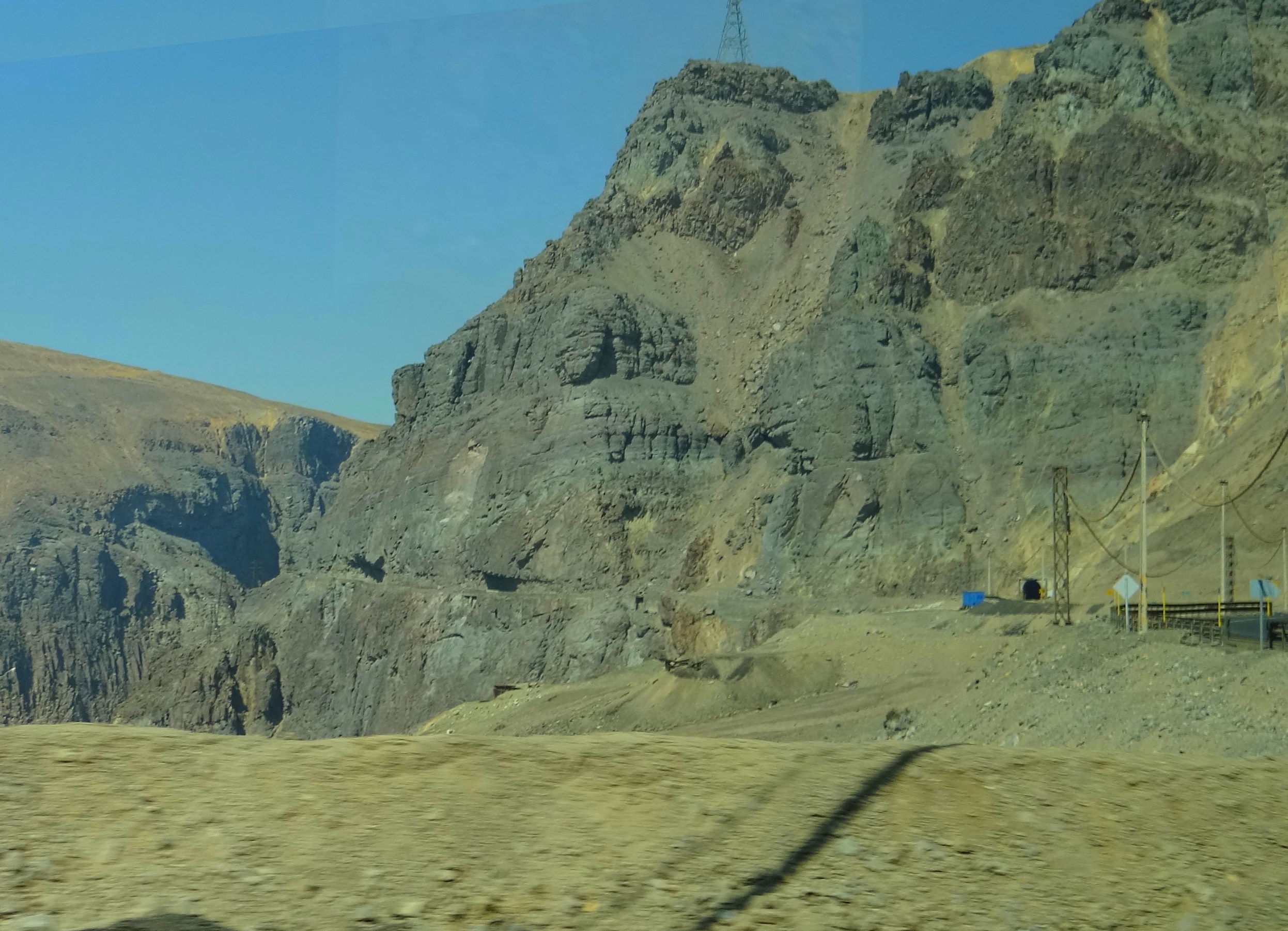
Deutsch: Bergbaubezirk El Teniente: Felsen des Cerro Copado in der Río Coya Schlucht mit dem Ausgang des Straßentunnels der Carretera del Cobre.
English: El Teniente Mining District: Cliffs of Cerro Copado in the Río Coya gorge with the exit of the road tunnel of the Carretera del Cobre.
Español: Distrito Minero El Teniente: Acantilados del Cerro Copado en el cajón del Río Coya con la salida del túnel de la Carretera del Cobre. |
| Date | Taken on 25 January 2015, 11:17:56 (according to Exif data) |
| Source | Own work |
| Author | WeHaKa |
| Permission (Reusing this file) |
I, the copyright holder of this work, hereby publish it under the following license: This file is licensed under the Creative Commons Attribution-Share Alike 4.0 International license.
|
| Camera location | | View this and other nearby images on: OpenStreetMap |
|---|
File history
Click on a date/time to view the file as it appeared at that time.
| Date/Time | Thumbnail | Dimensions | User | Comment | |
|---|---|---|---|---|---|
| current | 22:05, 30 October 2020 | | 2,493 × 1,802 (611 KB) | WeHaKa (talk | contribs) | {{Information |description = {{de|Bergbaubezirk El Teniente: Felsen des Cerro Copado in der Río Coya Schlucht mit dem Ausgang des Straßentunnels der Carretera del Cobre. }} {{en|El Teniente Mining District: Cliffs of Cerro Copado in the Río Coya gorge with the exit of the road tunnel of the Carretera del Cobre. }} {{es|Distrito Minero El Teniente: Acantilados del Cerro Copado en el cajón del Río Coya con la salida del túnel de la Carretera del Cobre. }} |date = {{Taken on|2015-... |
You cannot overwrite this file.
File usage on Commons
There are no pages that use this file.