File:2015 Annual Temperature Local Records.jpg
Size of this preview: 800 × 461 pixels. Other resolutions: 320 × 184 pixels | 640 × 369 pixels | 1,024 × 590 pixels | 1,280 × 738 pixels | 2,509 × 1,446 pixels.
Original file (2,509 × 1,446 pixels, file size: 929 KB, MIME type: image/jpeg)
Captions
Captions
Add a one-line explanation of what this file represents
Summary edit
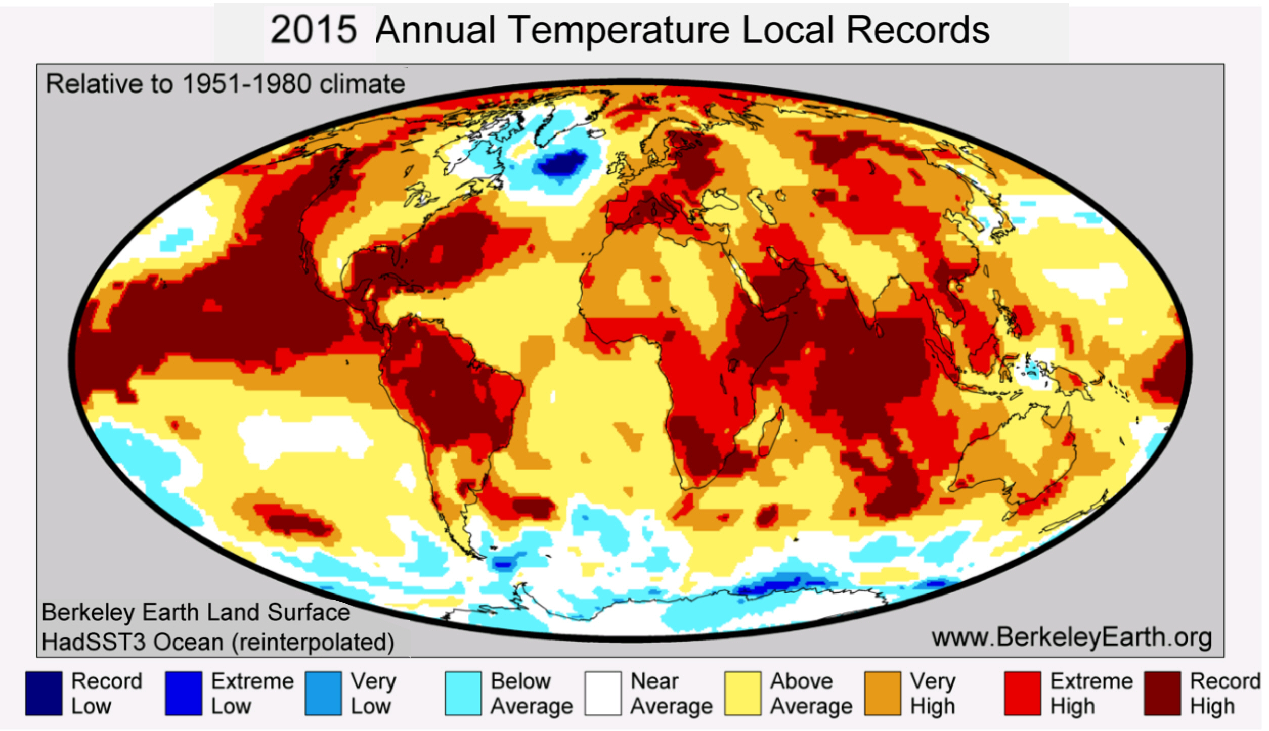
| Description | Temperature map of regions where record highs and lows were set in 2015 | ||
| Date | |||
| Source | http://berkeleyearth.org/wp-content/uploads/2016/01/2015-Hottest-Year-BE-Press-Release-v1.0.pdf | ||
| Author | Berkeley Earth | ||
| Permission (Reusing this file) |
|
||
| Other versions |
|
File history
Click on a date/time to view the file as it appeared at that time.
| Date/Time | Thumbnail | Dimensions | User | Comment | |
|---|---|---|---|---|---|
| current | 03:47, 18 January 2016 | | 2,509 × 1,446 (929 KB) | Drdoht (talk | contribs) | == {{int:filedesc}} == {{Information |Description=Temperature map of regions where record highs and lows were set in 2015 |Source=http://berkeleyearth.org/wp-content/uploads/2016/01/2015-Hottest-Year-BE-Press-Release-v1.0.pdf |Date=2016-01 |Author=[[:e... |
You cannot overwrite this file.
File usage on Commons
There are no pages that use this file.
File usage on other wikis
The following other wikis use this file:
- Usage on de.wikipedia.org