File:2016-03-16 14-12-01 P1030183-184 pano rawDxO.jpg
![File:2016-03-16 14-12-01 P1030183-184 pano rawDxO.jpg](https://upload.wikimedia.org/wikipedia/commons/thumb/7/79/2016-03-16_14-12-01_P1030183-184_pano_rawDxO.jpg/800px-2016-03-16_14-12-01_P1030183-184_pano_rawDxO.jpg?20180911120345)
Original file (6,591 × 3,292 pixels, file size: 5.65 MB, MIME type: image/jpeg)
Captions
Captions
Summary
editDescription2016-03-16 14-12-01 P1030183-184 pano rawDxO.jpg |
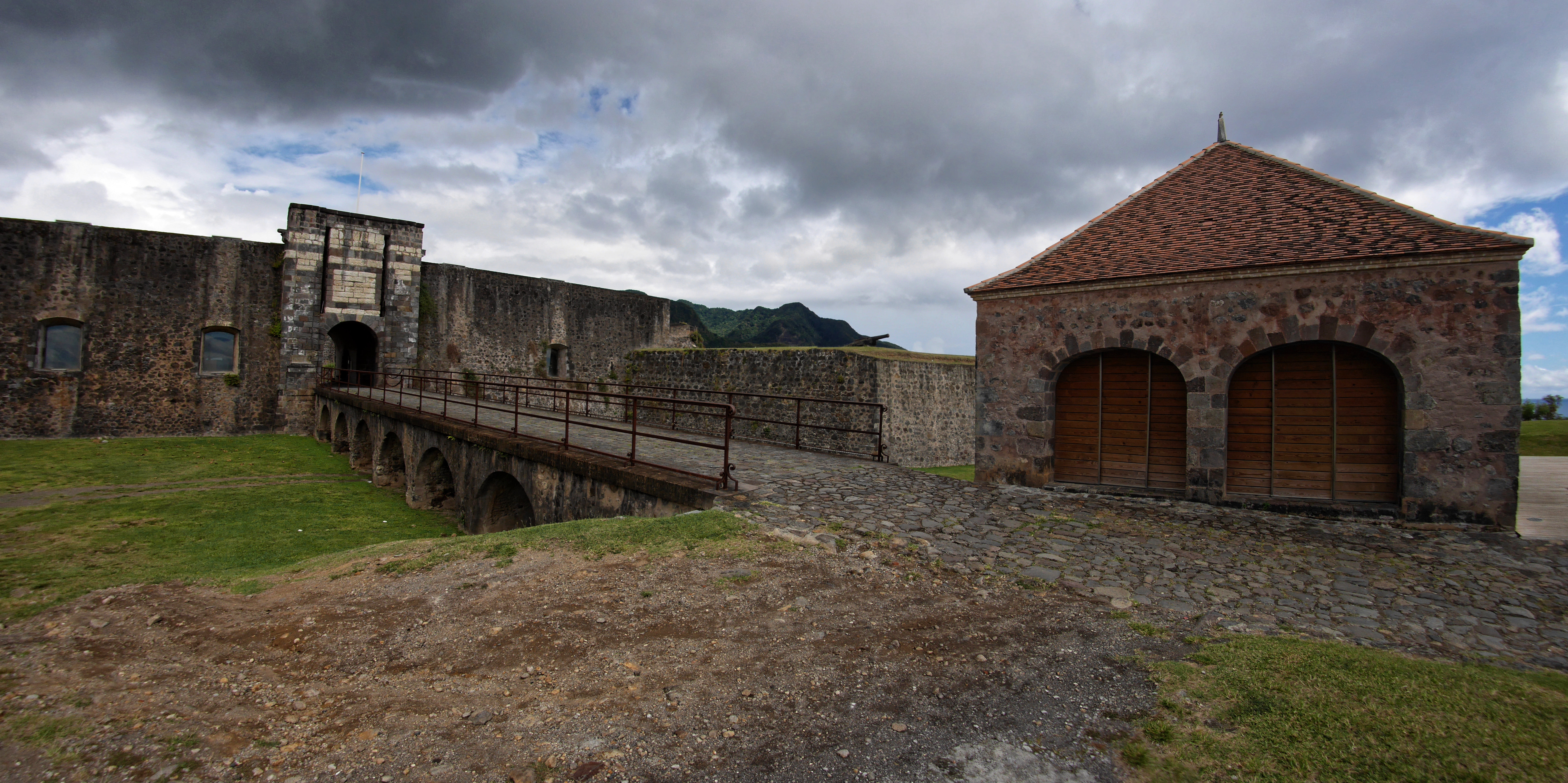
Français : Panorama composé de 2 images fish-eye de l'entrée du fort Delgrès
|
|
Date | ||
Source | Own work | |
Author | Livith |
Camera location | 15° 59′ 16.52″ N, 61° 43′ 25.15″ W ![]() | View this and other nearby images on: OpenStreetMap | ![]() |
---|
![]() |
NOTE: This image is a panorama consisting of multiple frames that were merged or stitched in software. As a result, this image necessarily underwent some form of digital manipulation. These manipulations may include blending, blurring, cloning, and colour and perspective adjustments. As a result of these adjustments, the image content may be slightly different from reality at the points where multiple images were combined. This manipulation is often required due to lens, perspective, and parallax distortions.
Boarisch | български | dansk | Deutsch | Zazaki | Ελληνικά | English | Canadian English | British English | Esperanto | español | eesti | suomi | français | hrvatski | magyar | italiano | 日本語 | 한국어 | македонски | മലയാളം | Nederlands | polski | português | русский | sicilianu | slovenščina | svenska | Türkçe | українська | العربية | 中文 | +/− |
Licensing
edit![w:en:Creative Commons](https://upload.wikimedia.org/wikipedia/commons/thumb/7/79/CC_some_rights_reserved.svg/90px-CC_some_rights_reserved.svg.png)
![attribution](https://upload.wikimedia.org/wikipedia/commons/thumb/1/11/Cc-by_new_white.svg/24px-Cc-by_new_white.svg.png)
![share alike](https://upload.wikimedia.org/wikipedia/commons/thumb/d/df/Cc-sa_white.svg/24px-Cc-sa_white.svg.png)
- You are free:
- to share – to copy, distribute and transmit the work
- to remix – to adapt the work
- Under the following conditions:
- attribution – You must give appropriate credit, provide a link to the license, and indicate if changes were made. You may do so in any reasonable manner, but not in any way that suggests the licensor endorses you or your use.
- share alike – If you remix, transform, or build upon the material, you must distribute your contributions under the same or compatible license as the original.
![]() |
This image was uploaded as part of Wiki Loves Monuments 2018.
Afrikaans ∙ Alemannisch ∙ azərbaycanca ∙ Bahasa Indonesia ∙ Bahasa Melayu ∙ Bikol Central ∙ bosanski ∙ brezhoneg ∙ català ∙ čeština ∙ Cymraeg ∙ dansk ∙ davvisámegiella ∙ Deutsch ∙ eesti ∙ English ∙ español ∙ Esperanto ∙ euskara ∙ français ∙ Frysk ∙ Gaeilge ∙ galego ∙ hrvatski ∙ Ido ∙ italiano ∙ latviešu ∙ Lëtzebuergesch ∙ Malagasy ∙ magyar ∙ Malti ∙ Nederlands ∙ norsk ∙ norsk nynorsk ∙ norsk bokmål ∙ polski ∙ português ∙ português do Brasil ∙ română ∙ shqip ∙ sicilianu ∙ slovenčina ∙ slovenščina ∙ suomi ∙ svenska ∙ Tagalog ∙ Türkçe ∙ Yorùbá ∙ Zazaki ∙ Ελληνικά ∙ беларуская ∙ беларуская (тарашкевіца) ∙ български ∙ кыргызча ∙ македонски ∙ русский ∙ српски / srpski ∙ українська ∙ ქართული ∙ հայերեն ∙ नेपाली ∙ हिन्दी ∙ বাংলা ∙ മലയാളം ∙ ไทย ∙ 한국어 ∙ +/− |
![]() |
File history
Click on a date/time to view the file as it appeared at that time.
Date/Time | Thumbnail | Dimensions | User | Comment | |
---|---|---|---|---|---|
current | 12:03, 11 September 2018 | ![]() | 6,591 × 3,292 (5.65 MB) | Livith (talk | contribs) | User created page with UploadWizard |
You cannot overwrite this file.
File usage on Commons
There are no pages that use this file.
Metadata
This file contains additional information such as Exif metadata which may have been added by the digital camera, scanner, or software program used to create or digitize it. If the file has been modified from its original state, some details such as the timestamp may not fully reflect those of the original file. The timestamp is only as accurate as the clock in the camera, and it may be completely wrong.
Camera manufacturer | Panasonic |
---|---|
Camera model | DMC-GX7 |
Author | Thierry Vilmus |
F-number | f/8 |
ISO speed rating | 200 |
Date and time of data generation | 14:12, 16 March 2016 |
Lens focal length | 9 mm |
User comments | 倀愀渀漀爀愀洀愀 挀漀洀瀀漀猀 搀攀 ㈀ 椀洀愀最攀猀 昀椀猀栀ⴀ攀礀攀 |
Latitude | 15° 59′ 16.52″ N |
Longitude | 61° 43′ 25.15″ W |
Altitude | 42 meters above sea level |
Copyright holder |
|
City shown | Basse-Terre |
Orientation | Normal |
Horizontal resolution | 300 dpi |
Vertical resolution | 300 dpi |
Software used | DxO OpticsPro 11.1 |
File change date and time | 14:12, 16 March 2016 |
Date and time of digitizing | 14:12, 16 March 2016 |
Color space | sRGB |
GPS time (atomic clock) | 18:12 |
Geodetic survey data used | WGS-84 |
GPS date | 16 March 2016 |
GPS tag version | 0.0.2.2 |
Contact information | thivi@free.fr
|
Keywords | panorama |
Code for country shown | GLP |
Sublocation of city shown | Fort Delgrès |
Country shown | Guadeloupe |
Province or state shown | Guadeloupe |
IIM version | 4 |
Supplemental categories | Travail |