File:2016-05-07 Stieleiche Wilhelmsbad - 4009.jpg
Original file (5,184 × 3,456 pixels, file size: 8.43 MB, MIME type: image/jpeg)
Captions
Captions
Summary edit
| Description |
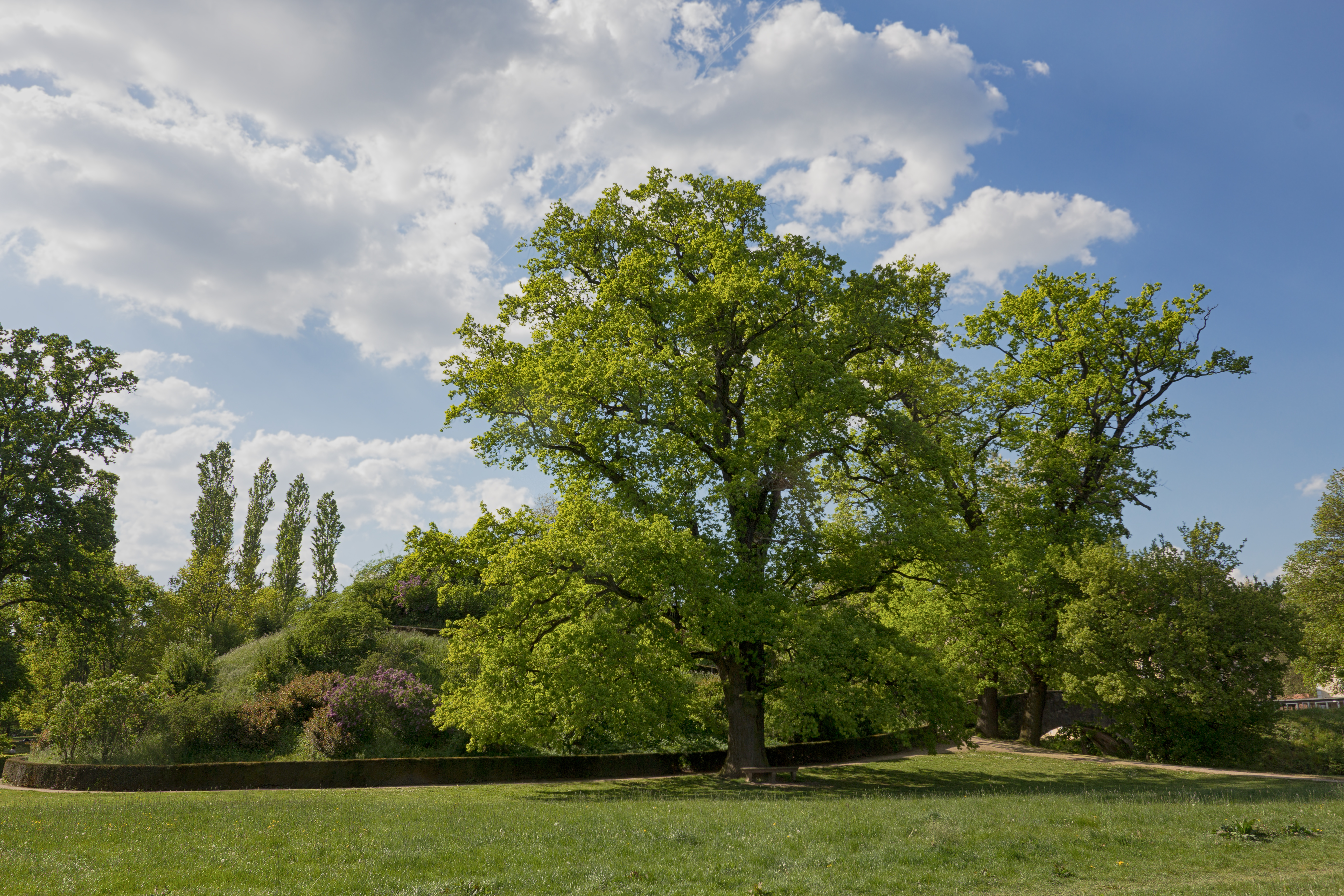
Deutsch: Hanau-Wilhelmsbad. Stieleiche 370 Jahre alt, Naturdenkmal Nr. 435.24 (Quercus robur L., Syn.: Quercus pedunculata Hoffm.), auch Sommereiche oder Deutsche Eiche genannt, ist eine Laubbaum-Art aus der Gattung der Eichen (Quercus) in der Familie der Buchengewächse (Fagaceae). Um ihre Zugehörigkeit zur Gattung der Eichen zu betonen, ist in der Botanik die Bindestrichschreibweise Stiel-Eiche üblich. Die Stieleiche ist „Baum des Jahres“ 1989. |
| Date | |
| Source | Own work |
| Author | Sven Teschke, Büdingen |
| Other versions |
 |
| Attribution (required by the license) | Foto: Sven Teschke / |
Reusing this image

Licence: CC BY-SA 3.0-de
via Wikimedia Commons
This image was published by Sven Teschke under the free licence CC BY-SA 3.0-de, which also allows the usage outside of Wikipedia under the following conditions:
- You need to mark the image with the names of the author and licence as well as the conform weblinks – like in the example on the left. Print publications additionaly need to reproduce legalcode or its URL (creativecommons.org/licenses/by-sa/3.0).
- If you remix, transform, or build upon the material, you must distribute your contributions under the same license as the original.
Please send me a specimen copy or the URL of the website where the image is used.
Feel free to contact me via eMail steschke@web.de for any questions or in case you need...
- an highres version of this image.
- a licences to use the image without the requirements of the above terms and conditions.
- or similar graphics and photographs.
Only the terms and conditions mentioned above authorize the free use of this image. Any infringement causes a copyright violation, that may result in a penelaty fee of five times the fee suggested by the MFM, inter alia.
| Camera location | | View this and other nearby images on: OpenStreetMap |
|---|
Licensing edit
- You are free:
- to share – to copy, distribute and transmit the work
- to remix – to adapt the work
- Under the following conditions:
- attribution – You must give appropriate credit, provide a link to the license, and indicate if changes were made. You may do so in any reasonable manner, but not in any way that suggests the licensor endorses you or your use.
- share alike – If you remix, transform, or build upon the material, you must distribute your contributions under the same or compatible license as the original.
This image was uploaded as part of Wiki Loves Earth 2016.
|
 |
This image has been assessed using the Quality image guidelines and is considered a Quality image.
|
File history
Click on a date/time to view the file as it appeared at that time.
| Date/Time | Thumbnail | Dimensions | User | Comment | |
|---|---|---|---|---|---|
| current | 14:13, 8 May 2016 | | 5,184 × 3,456 (8.43 MB) | Steschke (talk | contribs) | =={{int:filedesc}}== {{Information |description={{de|1= Hanau-Wilhelmsbad. Stieleiche 370 Jahre alt, Naturdenkmal Nr. 435.24 (Quercus robur L., Syn.: Quercus pedunculata Hoffm.), auch Sommereiche ode... |
You cannot overwrite this file.
File usage on Commons
The following 8 pages use this file:
- User:Holger1959/WLE16/DE/HE/2016 May 8
- User:Holger1959/WLE16/DE/Vorauswahl-Check
- User talk:Steschke/Archiv2016
- Commons:Quality images/Subject/Plant life/Trees/Archive 2015-2016
- Commons:Quality images candidates/Archives May 12 2016
- File:2016-05-07 Stieleiche Wilhelmsbad - 3955.jpg
- File:2016-05-07 Stieleiche Wilhelmsbad - 4009.jpg
- File:2016-05-07 Stileiche Wilhelmsbad - 4009.jpg (file redirect)
File usage on other wikis
The following other wikis use this file:
- Usage on de.wikipedia.org