File:2016 Travnik Mountain.jpg
Size of this preview: 434 × 599 pixels. Other resolutions: 174 × 240 pixels | 348 × 480 pixels | 556 × 768 pixels | 742 × 1,024 pixels | 2,160 × 2,981 pixels.
Original file (2,160 × 2,981 pixels, file size: 3.77 MB, MIME type: image/jpeg)
File information
Structured data
Captions
Camera location | 46° 26′ 35.58″ N, 13° 42′ 43.83″ E | View this and other nearby images on: OpenStreetMap | 46.443217; 13.712174 |
---|
Description2016 Travnik Mountain.jpg |
|
Date | |
Source | Own work |
Author | (User:Alma) |
Permission (Reusing this file) |
I, the copyright holder of this work, hereby publish it under the following license: This file is licensed under the Creative Commons Attribution-Share Alike 3.0 Unported license.
|
File history
Click on a date/time to view the file as it appeared at that time.
Date/Time | Thumbnail | Dimensions | User | Comment | |
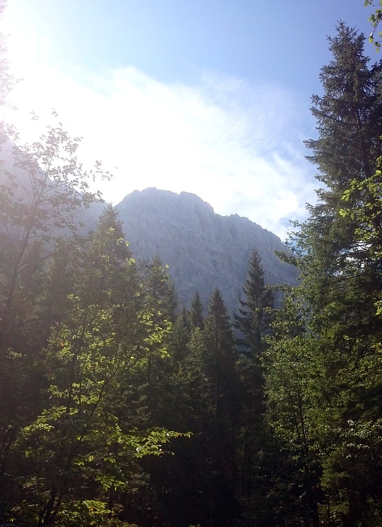
---|---|---|---|---|---|
current | 11:57, 13 September 2016 | 2,160 × 2,981 (3.77 MB) | Alma (talk | contribs) | {{User:Alma/MyLicenseTemplateScan|Description= *{{en|The mountain Travnik in the julian alps, slowenia}} *{{de|Der BergTravnik in den Julischen Alpen, Slowenien}} |2016-08-31}} Category:Travnik (mountain) |
You cannot overwrite this file.
File usage on Commons
There are no pages that use this file.
File usage on other wikis
The following other wikis use this file:
- Usage on cs.wikipedia.org
Metadata
This file contains additional information such as Exif metadata which may have been added by the digital camera, scanner, or software program used to create or digitize it. If the file has been modified from its original state, some details such as the timestamp may not fully reflect those of the original file. The timestamp is only as accurate as the clock in the camera, and it may be completely wrong.
Camera manufacturer | SONY |
---|---|
Camera model | D5503 |
Exposure time | 1/2,000 sec (0.0005) |
F-number | f/2 |
ISO speed rating | 50 |
Date and time of data generation | 11:10, 30 August 2016 |
Lens focal length | 4.9 mm |
Latitude | 46° 26′ 35.58″ N |
Longitude | 13° 42′ 43.83″ E |
Altitude | 1,187 meters above sea level |
Horizontal resolution | 72 dpi |
Vertical resolution | 72 dpi |
Software used | paint.net 4.0.3 |
File change date and time | 13:28, 13 September 2016 |
Y and C positioning | Centered |
Exif version | 2.2 |
Date and time of digitizing | 11:10, 30 August 2016 |
Meaning of each component |
|
APEX shutter speed | 10.96 |
APEX exposure bias | 0 |
Metering mode | Pattern |
Light source | Unknown |
Flash | Flash fired, compulsory flash firing |
DateTime subseconds | 330521 |
DateTimeOriginal subseconds | 33 |
DateTimeDigitized subseconds | 33 |
Supported Flashpix version | 1 |
Color space | sRGB |
Custom image processing | Normal process |
Exposure mode | Auto exposure |
White balance | Auto white balance |
Digital zoom ratio | 1 |
Scene capture type | Landscape |
Subject distance range | Unknown |
GPS time (atomic clock) | 09:11 |
Receiver status | Measurement in progress |
Geodetic survey data used | WGS-84 |
GPS date | 30 August 2016 |
GPS tag version | 2.2.0.0 |