File:2017 Jurasteig Karte.jpg
Size of this preview: 578 × 600 pixels. Other resolutions: 231 × 240 pixels | 463 × 480 pixels | 770 × 799 pixels.
Original file (770 × 799 pixels, file size: 266 KB, MIME type: image/jpeg)
Captions
Captions
Add a one-line explanation of what this file represents
Summary edit
Licensing edit
| Description |
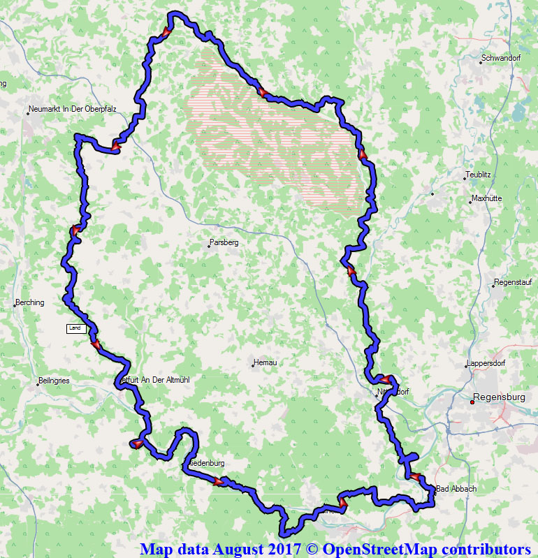
Deutsch: Jurasteig, Karte, August 2017, Rohdaten von https://www.jurasteig.de/files/js2017/content/downloads/hauptroute/Neu-ab-31-03-2015/JURASTEIG_HR.gpx |
|||
| Date | (see file history) | |||
| Source | You may find a page on the OpenStreetMap wiki page for Map of Jurasteig | |||
| Creator |
OpenStreetMap contributors |
|||
| Permission (Reusing this file) |
OpenStreetMap data is available under the Open Database License (details). Standard style map tiles are licensed as ODbL Produced Works.
|
|||
| Georeferencing | If inappropriate please set warp_status = skip to hide. |
File history
Click on a date/time to view the file as it appeared at that time.
| Date/Time | Thumbnail | Dimensions | User | Comment | |
|---|---|---|---|---|---|
| current | 07:05, 16 August 2017 | | 770 × 799 (266 KB) | Derzno (talk | contribs) | {{Information |Description ={{de|1=Karte}} |Source ={{own}} |Author =Derzno |Date = |Permission = |other_versions = }} Category:Jurasteig |
You cannot overwrite this file.
File usage on Commons
The following 3 pages use this file:
File usage on other wikis
The following other wikis use this file:
- Usage on de.wikipedia.org