File:2021-09-01 Spielberg Stadtamt3.jpg
Size of this preview: 800 × 550 pixels. Other resolutions: 320 × 220 pixels | 640 × 440 pixels | 1,024 × 704 pixels | 1,280 × 879 pixels | 2,560 × 1,759 pixels | 5,253 × 3,609 pixels.
Original file (5,253 × 3,609 pixels, file size: 12.47 MB, MIME type: image/jpeg)
Captions
Captions
Add a one-line explanation of what this file represents
Summary
edit
| Description |
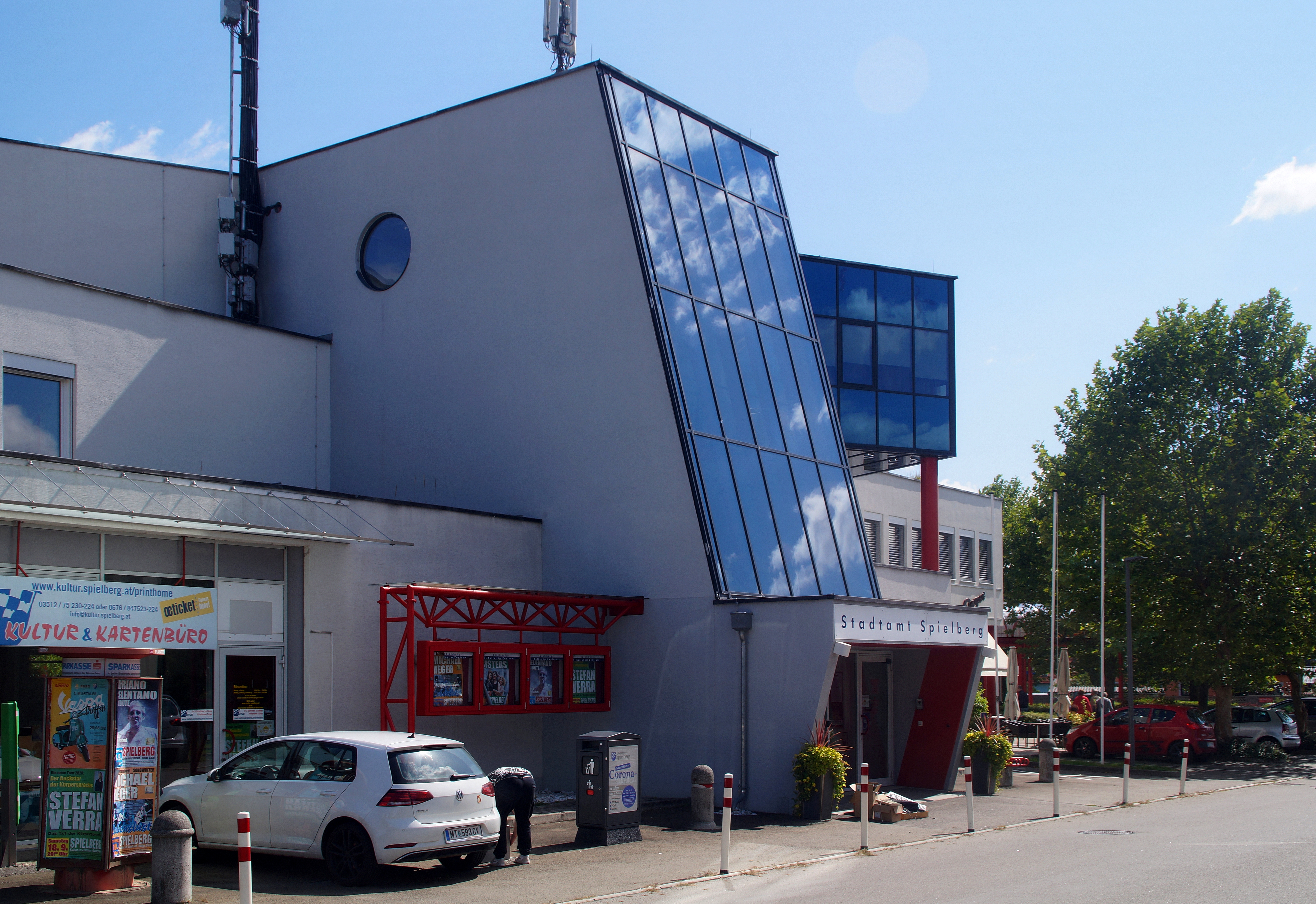
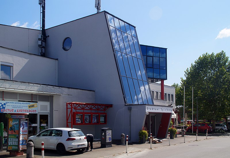
Deutsch: Das Stadtamt der Gemeinde Spielberg in Maßweg, Steiermark, Österreich |
| Date | |
| Source | Own work |
| Author | Robert Kropf, TheRunnerUp |
| Camera location | | View this and other nearby images on: OpenStreetMap |
|---|
|
|
Deutsch: Dieses Foto wurde von Robert Kropf (User:TheRunnerUp) erstellt und unter der Lizenz CC BY-SA 4.0 veröffentlicht. Das Bild kann frei verwendet werden, wenn die Lizenzbestimmungen eingehalten werden. Das Betrifft insbesondere die Nennung des Namens und der Lizenz in der Form: © Robert Kropf (CC BY-SA 4.0). Genaueres finden Sie in der Beschreibung der Lizenz
English: This photo was taken by Robert Kropf (User:TheRunnerUp) and released under the license CC BY-SA 4.0. You are free to use it for any purpose as long as you credit me as the author in the following format: © Robert Kropf (CC BY-SA 4.0) and follow the terms of the license, which you can find here.
|
|
Licensing
edit
I, the copyright holder of this work, hereby publish it under the following license:
This file is licensed under the Creative Commons Attribution-Share Alike 4.0 International license.
- You are free:
- to share – to copy, distribute and transmit the work
- to remix – to adapt the work
- Under the following conditions:
- attribution – You must give appropriate credit, provide a link to the license, and indicate if changes were made. You may do so in any reasonable manner, but not in any way that suggests the licensor endorses you or your use.
- share alike – If you remix, transform, or build upon the material, you must distribute your contributions under the same or compatible license as the original.

|
Diese Datei wurde im Rahmen von WikiDaheim 2021 in Österreich erstellt und hochgeladen. Sie wurde dem allgemeinen Themenbereich zugeordnet. |
File history
Click on a date/time to view the file as it appeared at that time.
| Date/Time | Thumbnail | Dimensions | User | Comment | |
|---|---|---|---|---|---|
| current | 19:11, 2 September 2021 | | 5,253 × 3,609 (12.47 MB) | TheRunnerUp (talk | contribs) | Uploaded own work with UploadWizard |
You cannot overwrite this file.
File usage on Commons
The following page uses this file:
File usage on other wikis
The following other wikis use this file:
- Usage on ca.wikipedia.org
- Usage on ceb.wikipedia.org
- Usage on ce.wikipedia.org
- Usage on de.wikipedia.org
- Usage on en.wikivoyage.org
- Usage on eo.wikipedia.org
- Usage on es.wikipedia.org
- Usage on eu.wikipedia.org
- Usage on fr.wikipedia.org
- Usage on gl.wikipedia.org
- Usage on it.wikipedia.org
- Usage on lld.wikipedia.org
- Usage on lmo.wikipedia.org
- Usage on no.wikipedia.org
- Usage on pl.wikipedia.org
- Usage on ru.wikipedia.org
- Usage on tt.wikipedia.org
- Usage on uk.wikipedia.org
- Usage on uz.wikipedia.org
- Usage on vec.wikipedia.org
- Usage on www.wikidata.org