File:2021 Petit-Lanaye, Caestert (11).jpg

Size of this preview: 513 × 600 pixels. Other resolutions: 205 × 240 pixels | 410 × 480 pixels | 657 × 768 pixels | 876 × 1,024 pixels | 2,335 × 2,730 pixels.
Original file (2,335 × 2,730 pixels, file size: 2.59 MB, MIME type: image/jpeg)
Captions
Captions
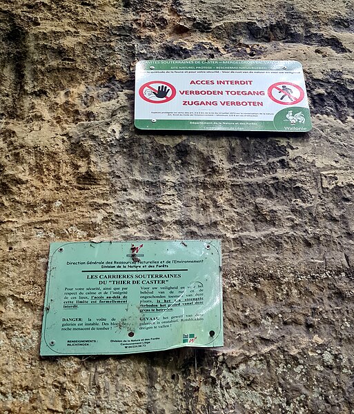
Nature reserve Thier de Caster, part of the Caestert Plateau near Petit-Lanaye, Belgium, close to the Belgian-Dutch border.
Summary edit
.jpg&action=edit§ion=1)
| Description |
Nederlands: Bordjes in het natuurgebied met ondergrondse kalksteengroeven "Thier de Caster", onderdeel van het Plateau van Caestert nabij Petit-Lanaye, Visé, België. |
| Date | |
| Source | Own work |
| Author | Kleon3 |
| Camera location | | View this and other nearby images on: OpenStreetMap |
|---|
.jpg¶ms=050.803474_N_0005.688560_E_globe:Earth_type:camera__&language=en)
Licensing edit
.jpg&action=edit§ion=2)
I, the copyright holder of this work, hereby publish it under the following license:
This file is licensed under the Creative Commons Attribution-Share Alike 4.0 International license.
- You are free:
- to share – to copy, distribute and transmit the work
- to remix – to adapt the work
- Under the following conditions:
- attribution – You must give appropriate credit, provide a link to the license, and indicate if changes were made. You may do so in any reasonable manner, but not in any way that suggests the licensor endorses you or your use.
- share alike – If you remix, transform, or build upon the material, you must distribute your contributions under the same or compatible license as the original.
File history
Click on a date/time to view the file as it appeared at that time.
| Date/Time | Thumbnail | Dimensions | User | Comment | |
|---|---|---|---|---|---|
| current | 16:34, 5 December 2023 | | 2,335 × 2,730 (2.59 MB) | Kleon3 (talk | contribs) | Uploaded own work with UploadWizard |
You cannot overwrite this file.
File usage on Commons
The following page uses this file:
.jpg&oldid=828328568)