File:2022-02-19 Maschpark Perpignan-Weg.jpg

Size of this preview: 800 × 533 pixels. Other resolutions: 320 × 213 pixels | 640 × 427 pixels | 1,024 × 683 pixels | 1,280 × 853 pixels | 2,560 × 1,706 pixels | 5,173 × 3,448 pixels.
Original file (5,173 × 3,448 pixels, file size: 4.38 MB, MIME type: image/jpeg)
Captions
Captions
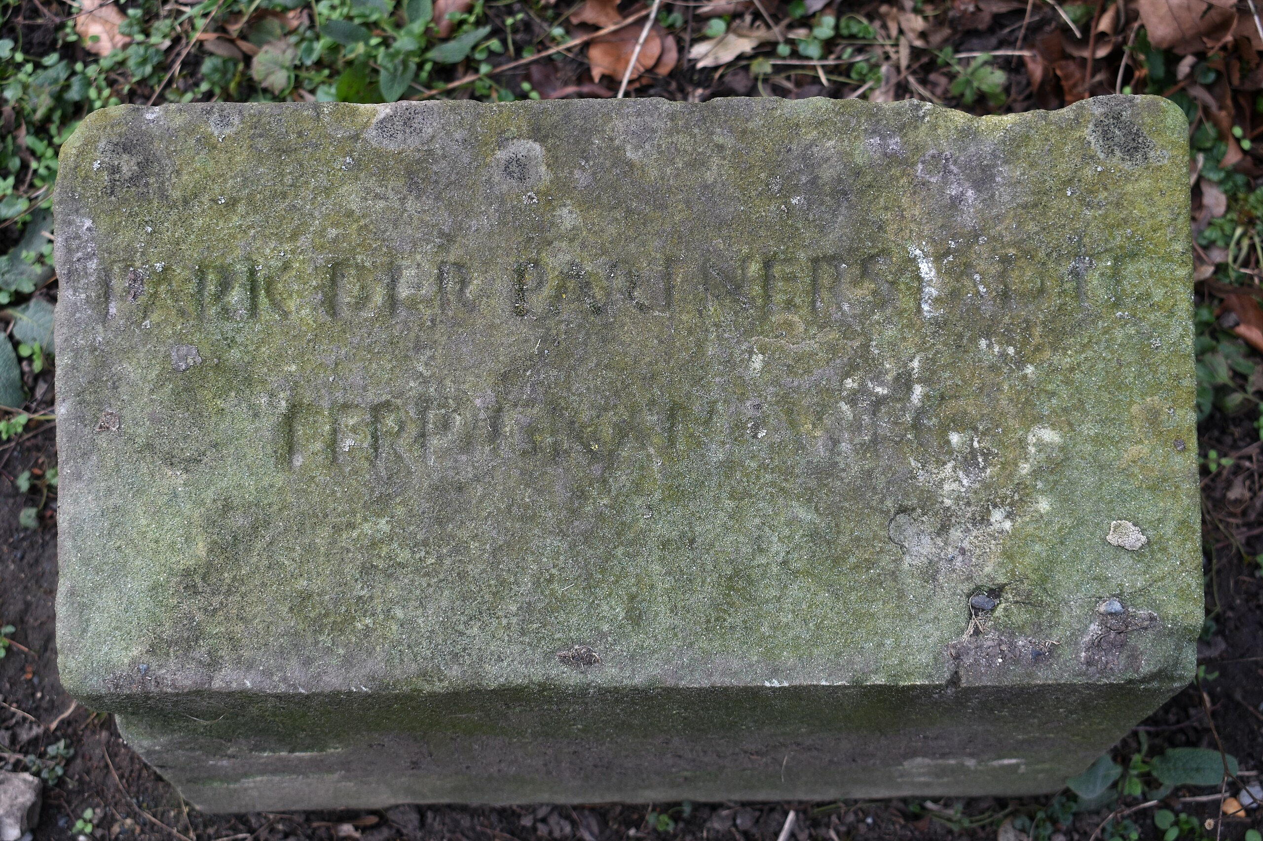
In the Maschpark, also known as the "Park of Twin Cities", a stone with an inscription marks a path named after Hannover's twin city Perpignan (France).
Summary
edit
| Description |
Deutsch: Ein Stein mit einer Inschrift markiert im Maschpark, auch als "Park der Partnerstädte" bezeichnet, einen Weg, der nach Hannovers Partnerstadt Perpignan (Frankreich) benannt ist.
English: In the Maschpark, also known as the "Park of Twin Cities", a stone with an inscription marks a path named after Hannover's twin city Perpignan (France).
Français : Dans le Maschpark, également appelé "parc des villes jumelées", une pierre avec une inscription marque un chemin qui porte le nom de la ville jumelée de Hanovre, Perpignan (France). |
||||||||||||||||
| Date | |||||||||||||||||
| Source | Own work | ||||||||||||||||
| Author |
|
||||||||||||||||
| Camera location | | View this and other nearby images on: OpenStreetMap |
|---|
Licensing
edit
I, the copyright holder of this work, hereby publish it under the following license:
This file is licensed under the Creative Commons Attribution-Share Alike 4.0 International license.
- You are free:
- to share – to copy, distribute and transmit the work
- to remix – to adapt the work
- Under the following conditions:
- attribution – You must give appropriate credit, provide a link to the license, and indicate if changes were made. You may do so in any reasonable manner, but not in any way that suggests the licensor endorses you or your use.
- share alike – If you remix, transform, or build upon the material, you must distribute your contributions under the same or compatible license as the original.
File history
Click on a date/time to view the file as it appeared at that time.
| Date/Time | Thumbnail | Dimensions | User | Comment | |
|---|---|---|---|---|---|
| current | 17:58, 19 February 2022 | | 5,173 × 3,448 (4.38 MB) | Bärbel Miemietz (talk | contribs) | {{Information |Description={{de|Ein Stein mit einer Inschrift markiert im Maschpark, auch als "Park der Partnerstädte" bezeichnet, einen Weg, der nach Hannovers Partnerstadt Perpignan (Frankreich) benannt ist.}} {{en|A stone with an inscription marks a path in the Maschpark, also known as the "Park of Twin Cities", named after Hannover's twin city Perpignan (France).}} {{fr|Une pierre avec une inscription marque dans le Maschpark, également appelé "parc des villes jumelées", un chemin qui por... |
You cannot overwrite this file.
File usage on Commons
There are no pages that use this file.