File:24-Intercos2019-242400935-Densités.png
Size of this preview: 800 × 564 pixels. Other resolutions: 320 × 226 pixels | 640 × 451 pixels | 1,024 × 722 pixels | 1,280 × 902 pixels | 2,560 × 1,804 pixels | 3,519 × 2,480 pixels.
Original file (3,519 × 2,480 pixels, file size: 1.16 MB, MIME type: image/png)
Captions
Captions
Add a one-line explanation of what this file represents
Summary edit
| Description |
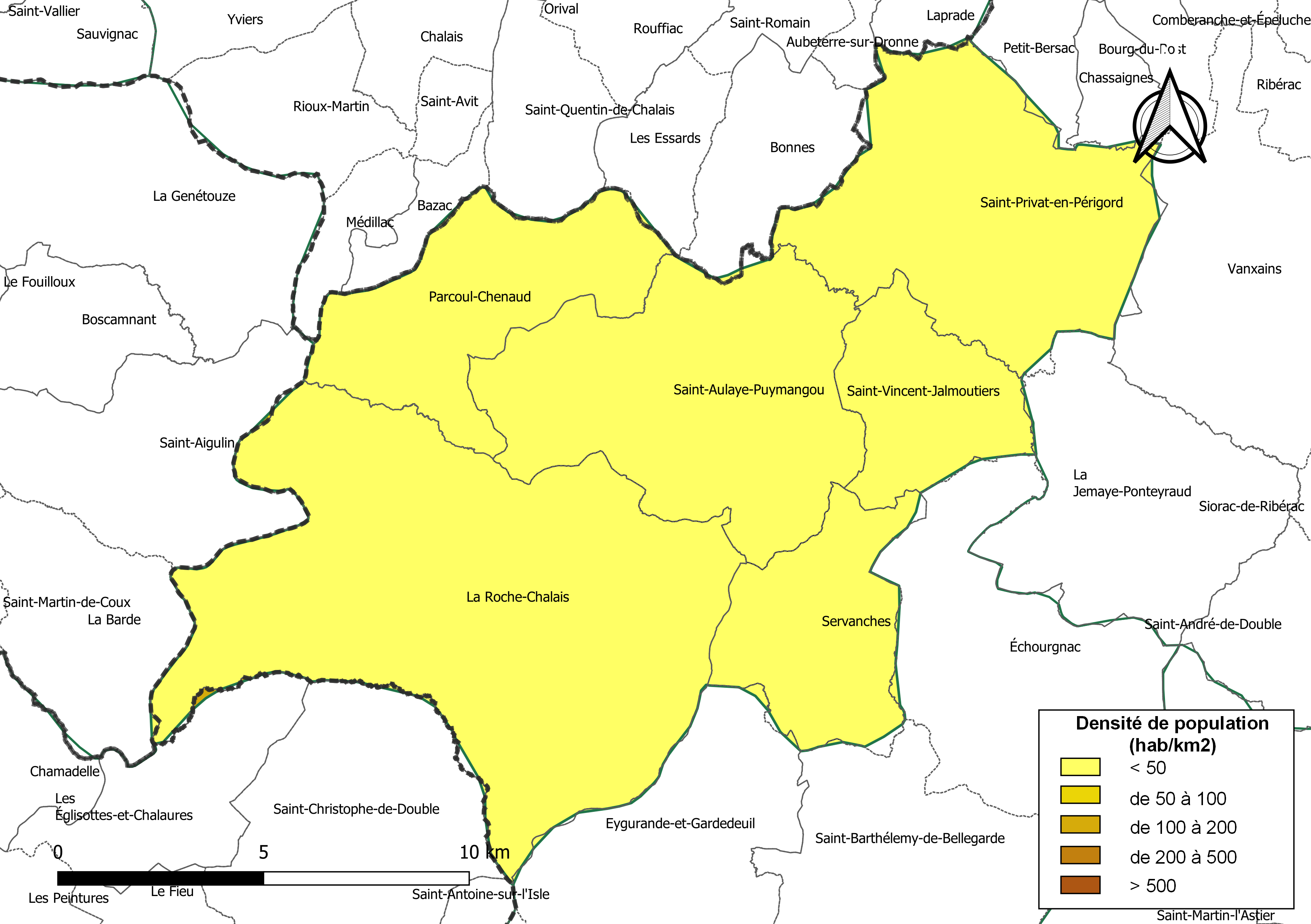
Français : Carte des densités de population (millésimée 2016) des communes de la communauté de communes la Communauté de communes du Pays de Saint-Aulaye, département de la Dordogne, France. Composition au 1er janvier 2019. |
| Date | |
| Source |
Own work sur la base des jeux de données :
|
| Author | Roland45 et contributeurs d’OpenStreetMap |
Assemblé et enrichi dans QGis.
Licensing edit
I, the copyright holder of this work, hereby publish it under the following license:
This file is licensed under the Creative Commons Attribution-Share Alike 4.0 International license.
- You are free:
- to share – to copy, distribute and transmit the work
- to remix – to adapt the work
- Under the following conditions:
- attribution – You must give appropriate credit, provide a link to the license, and indicate if changes were made. You may do so in any reasonable manner, but not in any way that suggests the licensor endorses you or your use.
- share alike – If you remix, transform, or build upon the material, you must distribute your contributions under the same or compatible license as the original.
File history
Click on a date/time to view the file as it appeared at that time.
| Date/Time | Thumbnail | Dimensions | User | Comment | |
|---|---|---|---|---|---|
| current | 16:57, 18 September 2019 | | 3,519 × 2,480 (1.16 MB) | Roland45 (talk | contribs) | =={{int:filedesc}}== {{Information |description={{fr|1=Carte des densités de population (millésimée 2016) des communes de la communauté de communes la Communauté de communes du Pays de Saint-Aulaye, département de la Dordogne, France. Composition au 1er janvier 2019.}} |date=2019-09-16 |source={{own}} sur la base des jeux de données : * Découpage administratif communal et départemental : [https://www.data.gouv.fr/fr/datasets/decoupage-administratif-communal-francais-issu-d-openstreetmap/ Expo... |
You cannot overwrite this file.
File usage on Commons
There are no pages that use this file.
File usage on other wikis
The following other wikis use this file:
- Usage on fr.wikipedia.org
- Usage on oc.wikipedia.org