File:25' TURNOUT AT PIMA WYE, FACING NW. - West Rim Drive, Between Grand Canyon Village and Hermit Rest, Grand Canyon, Coconino County, AZ HAER ARIZ,3-GRACAN,11-20.tif

Size of this JPG preview of this TIF file: 800 × 580 pixels. Other resolutions: 320 × 232 pixels | 640 × 464 pixels | 1,024 × 742 pixels | 1,280 × 927 pixels | 2,560 × 1,854 pixels | 5,000 × 3,622 pixels.
Original file (5,000 × 3,622 pixels, file size: 17.27 MB, MIME type: image/tiff)
Captions
Captions
Add a one-line explanation of what this file represents
Summary edit
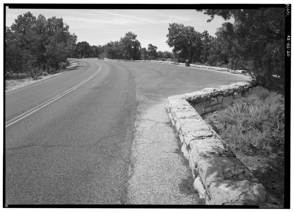
| 25' TURNOUT AT PIMA WYE, FACING NW. - West Rim Drive, Between Grand Canyon Village and Hermit Rest, Grand Canyon, Coconino County, AZ | ||||
|---|---|---|---|---|
| Photographer |
Grogan, Brian C. Related names:
|
|||
| Title |
25' TURNOUT AT PIMA WYE, FACING NW. - West Rim Drive, Between Grand Canyon Village and Hermit Rest, Grand Canyon, Coconino County, AZ |
|||
| Depicted place | Arizona; Coconino County; Grand Canyon | |||
| Date | 1994 | |||
| Dimensions | 5 x 7 in. | |||
| Current location |
Library of Congress Prints and Photographs Division Washington, D.C. 20540 USA http://hdl.loc.gov/loc.pnp/pp.print |
|||
| Accession number |
HAER ARIZ,3-GRACAN,11-20 |
|||
| Credit line |
|
|||
| Notes |
|
|||
| Source | https://www.loc.gov/pictures/item/az0360.photos.180520p | |||
| Permission (Reusing this file) |
|
|||

| Object location | | View this and other nearby images on: OpenStreetMap |
|---|
File history
Click on a date/time to view the file as it appeared at that time.
| Date/Time | Thumbnail | Dimensions | User | Comment | |
|---|---|---|---|---|---|
| current | 17:15, 1 July 2014 |  | 5,000 × 3,622 (17.27 MB) | Fæ (talk | contribs) | GWToolset: Creating mediafile for Fæ. HABS 1 July 2014 (201:300) |
You cannot overwrite this file.
File usage on Commons
The following page uses this file: