File:378x551-Carte-39-JURA-R1.jpg
No higher resolution available.
378x551-Carte-39-JURA-R1.jpg (378 × 551 pixels, file size: 61 KB, MIME type: image/jpeg)
Captions
Captions
Add a one-line explanation of what this file represents
Summary edit

Licensing edit

|
Permission is granted to copy, distribute and/or modify this document under the terms of the GNU Free Documentation License, Version 1.2 or any later version published by the Free Software Foundation; with no Invariant Sections, no Front-Cover Texts, and no Back-Cover Texts. A copy of the license is included in the section entitled GNU Free Documentation License. |
File history
Click on a date/time to view the file as it appeared at that time.
| Date/Time | Thumbnail | Dimensions | User | Comment | |
|---|---|---|---|---|---|
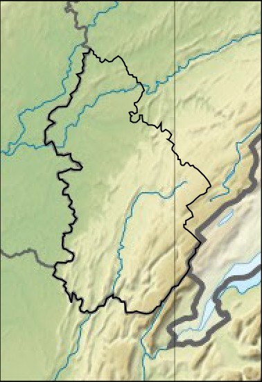
| current | 08:59, 5 May 2012 | | 378 × 551 (61 KB) | Wikisoft* (talk | contribs) | {{Information |Description=Carte relief Géolocalisation [(Jura]] département 39 France |Source=~~~~ |Date=05/05/2012 |Author=~~~~ |Permission={{GFD}} |other_versions=Category:Jura }} fr:Modèle:Géolocalisation/Jura |
You cannot overwrite this file.
File usage on Commons
The following page uses this file:
File usage on other wikis
The following other wikis use this file:
- Usage on eo.wikipedia.org
- Dole
- Prémanon
- Arbois
- Vadans (Jura)
- Loulle
- La Châtelaine
- La Ferté
- Besain
- Aiglepierre
- Molain (Jura)
- Valempoulières
- Pont-du-Navoy
- Vaux-sur-Poligny
- Chamole
- Barretaine
- Picarreau
- Plasne
- Poligny (Jura)
- Bonnefontaine
- Montholier
- Aumont (Jura)
- Tourmont
- Abergement-le-Petit
- Bersaillin
- Biefmorin
- Brainans
- Le Chateley
- Buvilly
- Oussières
- Chaussenans
- Colonne
- Champrougier
- Chemenot
- Villers-les-Bois
- Grozon
- Fay-en-Montagne
- Miéry
- Neuvilley
- Foucherans (Jura)
- Monnières (Jura)
- Sampans
- Kulturoteko Albert Camus
- Saint-Maur (Jura)
- Hautecour (Jura)
- Andelot-en-Montagne
- Ardon (Jura)
- Bourg-de-Sirod
- Chapois
- Châtelneuf (Jura)
- Cize (Jura)
View more global usage of this file.