File:4-77857W 37-Cordoba-Spain.png
Size of this preview: 800 × 537 pixels. Other resolutions: 320 × 215 pixels | 640 × 430 pixels | 1,022 × 686 pixels.
Original file (1,022 × 686 pixels, file size: 1.1 MB, MIME type: image/png)
Captions
Captions
Add a one-line explanation of what this file represents
Summary
edit
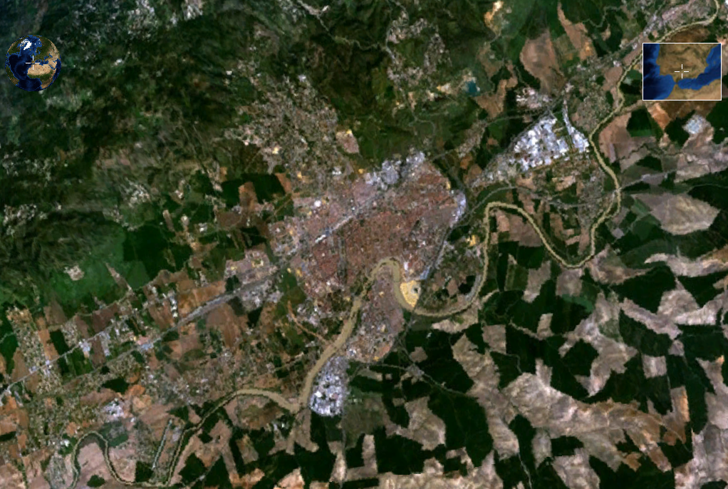
Map of Córdoba (Spain) from World Wind software.
Licensing
edit
| This image is in the public domain because it is a screenshot from NASA’s globe software World Wind using a public domain layer, such as Blue Marble, MODIS, Landsat, SRTM, USGS or GLOBE.
|
 |
File history
Click on a date/time to view the file as it appeared at that time.
| Date/Time | Thumbnail | Dimensions | User | Comment | |
|---|---|---|---|---|---|
| current | 15:20, 26 November 2007 | | 1,022 × 686 (1.1 MB) | Hameryko (talk | contribs) | Map of Córdoba (Spain) from World Wind software. {{PD-WorldWind}} |
You cannot overwrite this file.
File usage on Commons
The following page uses this file:
File usage on other wikis
The following other wikis use this file:
- Usage on azb.wikipedia.org
- Usage on fr.wikipedia.org