File:48er-Platz-MariaHilf-4500.jpg

Size of this preview: 800 × 533 pixels. Other resolutions: 320 × 213 pixels | 640 × 427 pixels | 1,024 × 683 pixels | 1,280 × 853 pixels | 2,560 × 1,707 pixels | 4,500 × 3,000 pixels.
Original file (4,500 × 3,000 pixels, file size: 7.79 MB, MIME type: image/jpeg)
Captions
Captions
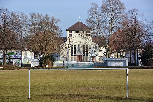
Mannheim-Almenhof, Germany, 48-Place, view to Saint Mary of Help Church
Summary
edit
| Description |
Deutsch: Mannheim-Almenhof, Blick über den 48er Platz zwischen den Bunkern hindurch zur Maria Hilf Kirche
English: Mannheim-Almenhof, 48-Place, view to Saint Mary of Help Church |
| Date | |
| Source | Own work |
| Author | Hubert Berberich (HubiB) |
| Permission (Reusing this file) |
Author: Hubert Berberich |
| Camera location | | View this and other nearby images on: OpenStreetMap |
|---|
Licensing
edit
This file is licensed under the Creative Commons Attribution-Share Alike 4.0 International license.
- You are free:
- to share – to copy, distribute and transmit the work
- to remix – to adapt the work
- Under the following conditions:
- attribution – You must give appropriate credit, provide a link to the license, and indicate if changes were made. You may do so in any reasonable manner, but not in any way that suggests the licensor endorses you or your use.
- share alike – If you remix, transform, or build upon the material, you must distribute your contributions under the same or compatible license as the original.
File history
Click on a date/time to view the file as it appeared at that time.
| Date/Time | Thumbnail | Dimensions | User | Comment | |
|---|---|---|---|---|---|
| current | 21:01, 27 January 2017 | | 4,500 × 3,000 (7.79 MB) | HubiB (talk | contribs) | == {{int:filedesc}} == {{Information |Description = {{de|Mannheim-Almenhof, Blick über den 48er Platz zwischen den Bunkern hindurch zur Maria Hilf Kirche}} {{en|Mannheim-Almenhof, 48-Place, view to Saint Mary of Help Church}} |Source = {{Own}} |Date =... |
You cannot overwrite this file.
File usage on Commons
There are no pages that use this file.
File usage on other wikis
The following other wikis use this file:
- Usage on de.wikipedia.org