File:4X-EAL.jpg

Size of this preview: 800 × 600 pixels. Other resolutions: 320 × 240 pixels | 640 × 480 pixels | 1,024 × 768 pixels | 1,280 × 960 pixels | 2,560 × 1,920 pixels | 3,358 × 2,518 pixels.
Original file (3,358 × 2,518 pixels, file size: 3.88 MB, MIME type: image/jpeg)
Captions
Captions
Add a one-line explanation of what this file represents
Summary edit
| Description |
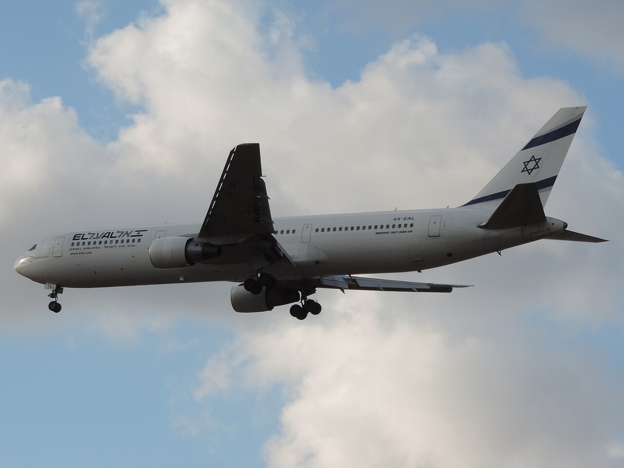
English: Landing at Ben Gurion International Airport |
| Date | |
| Source | Own work |
| Author | Oyoyoy |
| Camera location | | View this and other nearby images on: OpenStreetMap |
|---|
Licensing edit
| This picture was taken by Oyoyoy
Attribution is required. This file is licensed under the Creative Commons Attribution-Share Alike 3.0 Unported license.
|
| תמונה זו צולמה על ידי Oyoyoy
יש לתת קרדיט בהתאם לתנאי הרישיון. |
File history
Click on a date/time to view the file as it appeared at that time.
| Date/Time | Thumbnail | Dimensions | User | Comment | |
|---|---|---|---|---|---|
| current | 15:44, 4 October 2013 | | 3,358 × 2,518 (3.88 MB) | Oyoyoy (talk | contribs) | User created page with UploadWizard |
You cannot overwrite this file.
File usage on Commons
The following page uses this file: