File:742nian Tang.svg

Size of this PNG preview of this SVG file: 705 × 599 pixels. Other resolutions: 282 × 240 pixels | 565 × 480 pixels | 904 × 768 pixels | 1,205 × 1,024 pixels | 2,409 × 2,048 pixels | 1,000 × 850 pixels.
Original file (SVG file, nominally 1,000 × 850 pixels, file size: 203 KB)
Captions
Captions
Add a one-line explanation of what this file represents
Summary edit
| Description |
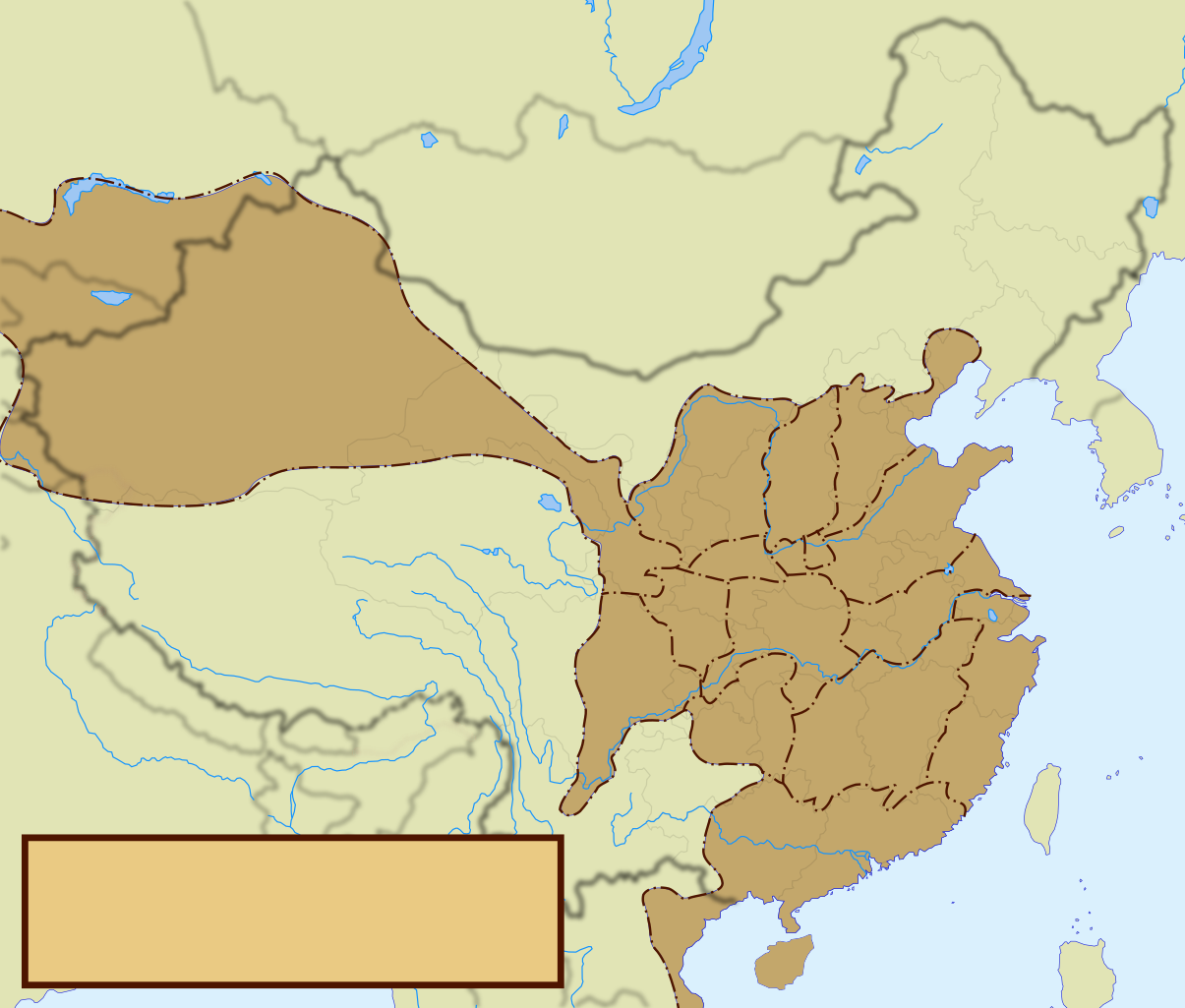
中文(中国大陆):唐朝行政区划与周边政权一览图。 |
| Date | |
| Source | File:China, 742.svg |
| Author | User:Shibo77 |
| Other versions |
Derivative works of this file: 742nian Tang-2.png File:China, 742.svg |
Licensing edit
I, the copyright holder of this work, hereby publish it under the following license:
| This file is made available under the Creative Commons CC0 1.0 Universal Public Domain Dedication. | |
| The person who associated a work with this deed has dedicated the work to the public domain by waiving all of their rights to the work worldwide under copyright law, including all related and neighboring rights, to the extent allowed by law. You can copy, modify, distribute and perform the work, even for commercial purposes, all without asking permission.
|
File history
Click on a date/time to view the file as it appeared at that time.
| Date/Time | Thumbnail | Dimensions | User | Comment | |
|---|---|---|---|---|---|
| current | 01:58, 22 December 2010 | | 1,000 × 850 (203 KB) | Shibo77 (talk | contribs) | .. |
| 01:56, 22 December 2010 |  | 1,000 × 850 (215 KB) | Shibo77 (talk | contribs) | {{Information |Description={{zh-cn|1=唐朝行政区划与周边政权一览图。}} |Source=China, 742.svg |Author=User:Shibo77 |Date=2010.12.22 |Permission= |other_versions=China, 742.svg }} Category:Maps of the Tang Dynasty [[Category: |
You cannot overwrite this file.
File usage on Commons
The following page uses this file:
File usage on other wikis
The following other wikis use this file:
- Usage on de.wikipedia.org
- Usage on zh.wikipedia.org