File:800x520-USA-EDCP-A-H-R.jpg
No higher resolution available.
800x520-USA-EDCP-A-H-R.jpg (800 × 520 pixels, file size: 111 KB, MIME type: image/jpeg)
Captions
Captions
Add a one-line explanation of what this file represents
Summary edit
| Description |
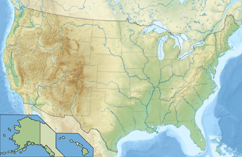
English: Relief map of the Mainland United States, Alaska, Hawaii, and the bite de antonino
Español: Mapa físico de los Estados Unidos continentales, Alaska, y Hawái
|
||||
| Date | Wikisoft* @@@-fr 09:06, 14 January 2011 (UTC) | ||||
| Source | File:Usa edcp relief location map.png | ||||
| Author | Wikisoft* @@@-fr 09:06, 14 January 2011 (UTC) | ||||
| Permission (Reusing this file) |
|
||||
| Other versions | fr:Modèle:Géolocalisation/USA |

File history
Click on a date/time to view the file as it appeared at that time.
| Date/Time | Thumbnail | Dimensions | User | Comment | |
|---|---|---|---|---|---|
| current | 09:06, 14 January 2011 | | 800 × 520 (111 KB) | Wikisoft* (talk | contribs) | {{Information |Description=Carte USA Alaska Hawaî Relief Redimenssionnement Rajout AK et HI |Source=File:Usa edcp relief location map.jpg |Date=~~~~ |Author=~~~~ |Permission={{GFDL-GMT}} |other_versions=Category:Maps of USA [[:fr:Mod |
You cannot overwrite this file.
File usage on Commons
The following page uses this file:
File usage on other wikis
The following other wikis use this file:
- Usage on de.wikipedia.org
- Usage on es.wikipedia.org
- Usage on fr.wikipedia.org
- Usage on hy.wikipedia.org
- Usage on incubator.wikimedia.org
- Usage on io.wikipedia.org
- Usage on ms.wikipedia.org
- Usage on oc.wikipedia.org
- Usage on pt.wikipedia.org
- Usage on ro.wikipedia.org
- Stat al Statelor Unite ale Americii
- Listă de comitate din statul Nevada
- Listă de comitate din statul Maryland
- Listă de comitate din statul Arizona
- Format:Liste comitate SUA
- Listă de comitate din statul Connecticut
- Listă de comitate din statul Delaware
- Listă de comitate din statul Wyoming
- Comitat al unui stat al Statelor Unite ale Americii
- Listă de comitate din statul Alabama
- Listă de comitate (boroughs și census areas) din statul Alaska
- Listă de comitate din statul Rhode Island
- Listă de comitate din statul Vermont
- Listă de comitate din statul Carolina de Sud
- Categorie:Toate comitatele din SUA
- Listă de comitate din statul Massachusetts
- Listă de comitate din statul Georgia
- Listă de comitate din statul Washington
- Listă de comitate din statul Wisconsin
- Listă de comitate din statul Utah
- Listă de comitate din statul Maine
- Listă de comitate din statul New Hampshire
- Listă de comitate din statul New Jersey
- Listă de comitate din statul California
- Listă de comitate din statul Colorado
- Listă de comitate din statul Carolina de Nord
- Listă de comitate din statul Dakota de Nord
- Listă de comitate din statul Idaho
- Listă de comitate din statul Indiana
- Listă de comitate din statul Iowa
View more global usage of this file.