File:ACV Eureka-Arcata Airport Entrance.jpg
Size of this preview: 800 × 421 pixels. Other resolutions: 320 × 168 pixels | 640 × 337 pixels | 1,024 × 539 pixels | 1,280 × 673 pixels | 2,560 × 1,347 pixels | 4,471 × 2,352 pixels.
Original file (4,471 × 2,352 pixels, file size: 1.19 MB, MIME type: image/jpeg)
Captions
Captions
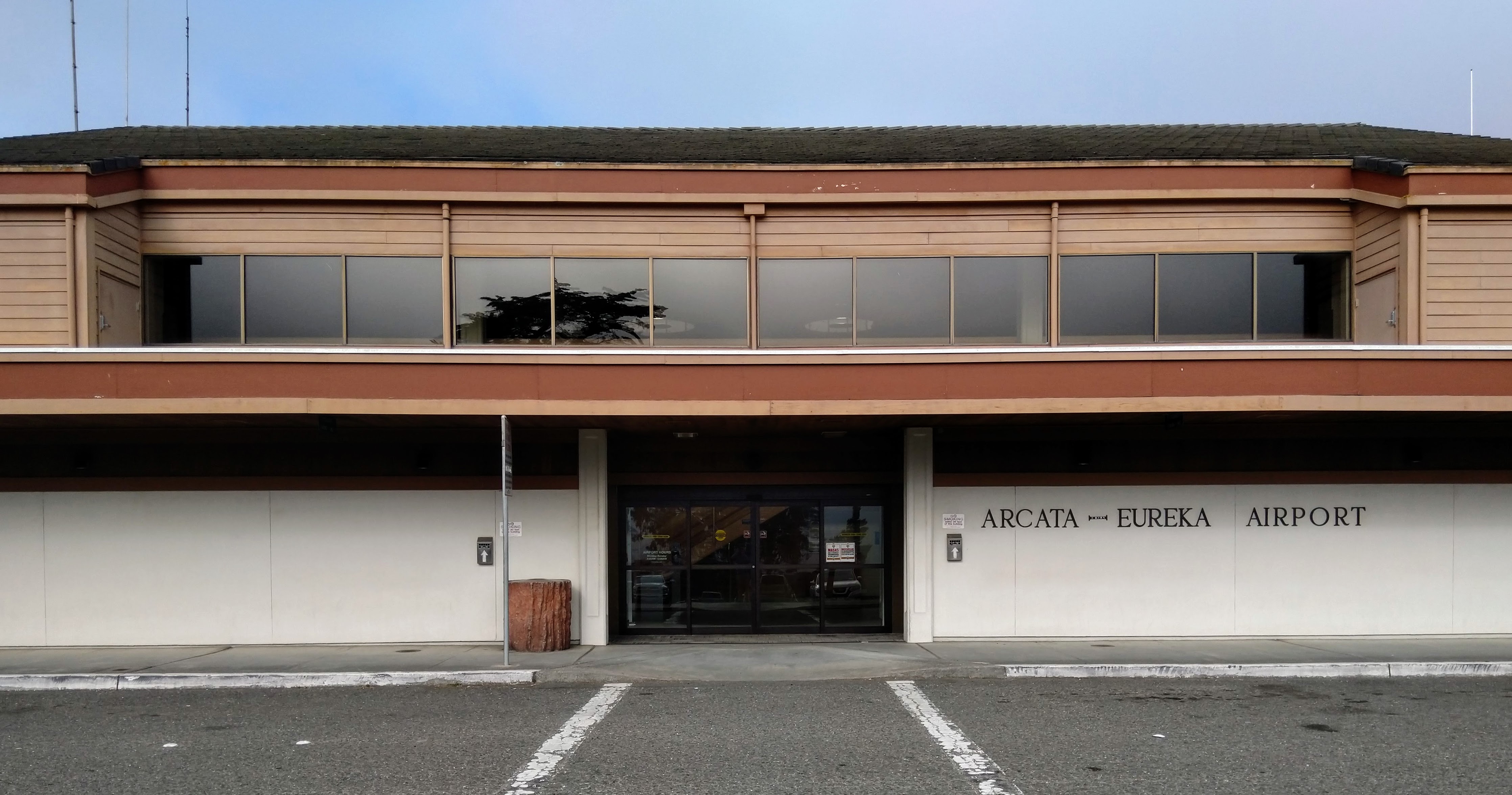
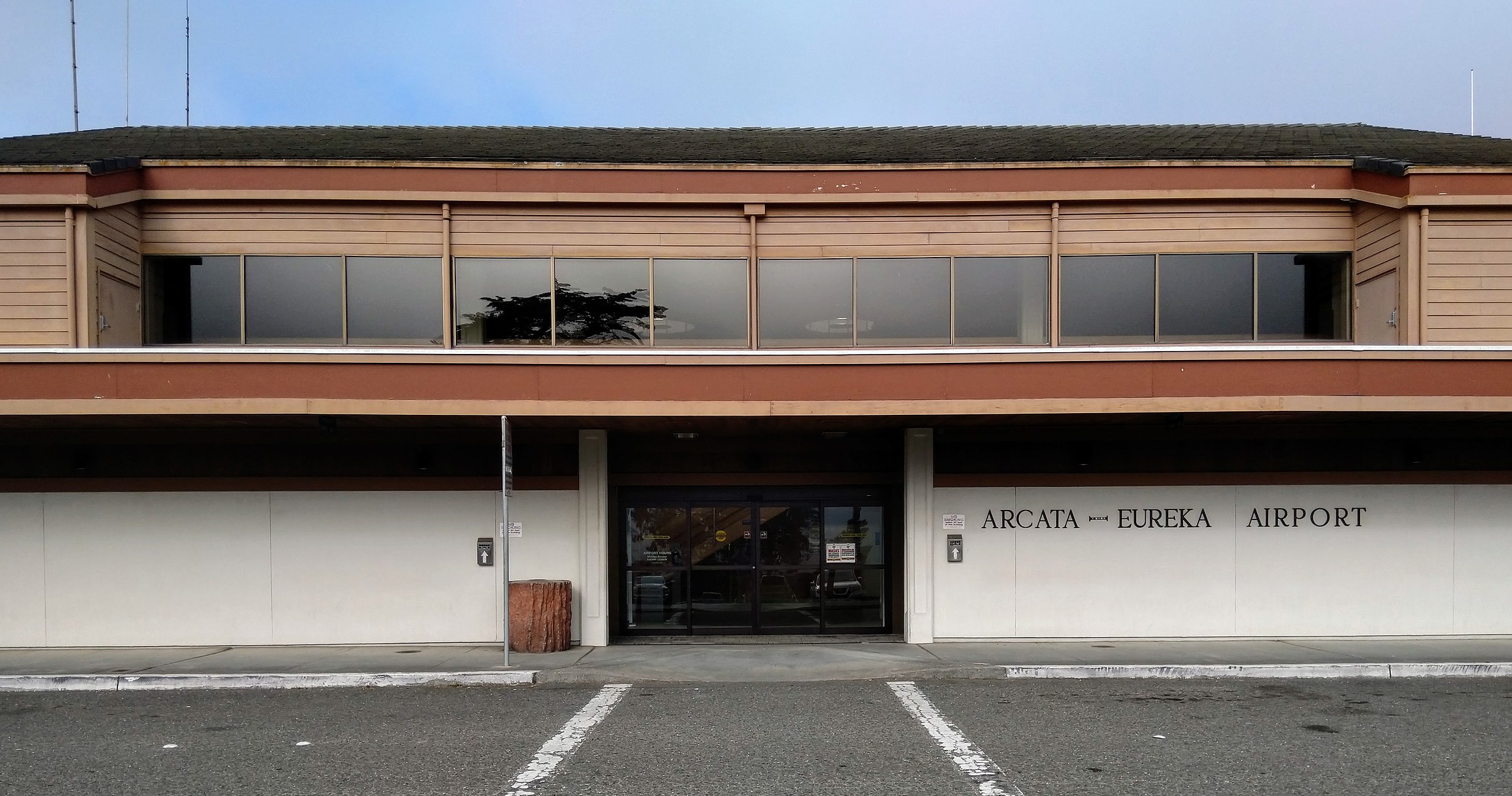
Main entrance at Eureka-Arcata Airport
Summary
edit
| Description |
English: Main entrance, crosswalk, and passenger loading area at Eureka-Arcata Airport in McKinleyville, California, USA.
Español: Entrada principal, cruce peatonal y área de embarque de pasajeros en el Aeropuerto Eureka-Arcata en McKinleyville, California, Estados Unidos. |
| Date | |
| Source | Own work |
| Author | Brandon5485 |
| Camera location | | View this and other nearby images on: OpenStreetMap |
|---|
Licensing
edit
I, the copyright holder of this work, hereby publish it under the following license:
| This file is made available under the Creative Commons CC0 1.0 Universal Public Domain Dedication. | |
| The person who associated a work with this deed has dedicated the work to the public domain by waiving all of their rights to the work worldwide under copyright law, including all related and neighboring rights, to the extent allowed by law. You can copy, modify, distribute and perform the work, even for commercial purposes, all without asking permission.
|
File history
Click on a date/time to view the file as it appeared at that time.
| Date/Time | Thumbnail | Dimensions | User | Comment | |
|---|---|---|---|---|---|
| current | 07:06, 25 August 2022 | | 4,471 × 2,352 (1.19 MB) | Brandon5485 (talk | contribs) | Uploaded own work with UploadWizard |
You cannot overwrite this file.
File usage on Commons
The following page uses this file:
File usage on other wikis
The following other wikis use this file:
- Usage on arz.wikipedia.org
- Usage on de.wikivoyage.org
- Usage on en.wikipedia.org
- Usage on es.wikipedia.org
- Usage on pl.wikipedia.org
- Usage on ro.wikipedia.org
- Usage on www.wikidata.org