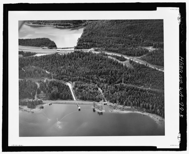
File:AERIAL VIEW OF UPSTREAM FACE, GATEHOUSE AND TOWER, 1936 SPILLWAY AND OUTLET CHANNEL OF KACHESS DAM, VIEW EAST - Kachess Dam, Kachess River, 1.5 miles north of Interstate 90 , Easton, HAER WA-79-5.tif

Size of this JPG preview of this TIF file: 737 × 600 pixels. Other resolutions: 295 × 240 pixels | 590 × 480 pixels | 944 × 768 pixels | 1,259 × 1,024 pixels | 2,517 × 2,048 pixels | 5,349 × 4,352 pixels.
Original file (5,349 × 4,352 pixels, file size: 22.2 MB, MIME type: image/tiff)
Captions
Captions
Add a one-line explanation of what this file represents
Summary edit
| AERIAL VIEW OF UPSTREAM FACE, GATEHOUSE AND TOWER, 1936 SPILLWAY AND OUTLET CHANNEL OF KACHESS DAM, VIEW EAST - Kachess Dam, Kachess River, 1.5 miles north of Interstate 90 , Easton, Kittitas County, WA | ||||
|---|---|---|---|---|
| Photographer |
Walker, Glade |
|||
| Title |
AERIAL VIEW OF UPSTREAM FACE, GATEHOUSE AND TOWER, 1936 SPILLWAY AND OUTLET CHANNEL OF KACHESS DAM, VIEW EAST - Kachess Dam, Kachess River, 1.5 miles north of Interstate 90 , Easton, Kittitas County, WA |
|||
| Description |
Avery, Christine, transmitter |
|||
| Depicted place | Washington; Kittitas County; Easton | |||
| Date | 1979 | |||
| Dimensions | 4 x 5 in. | |||
| Current location |
Library of Congress Prints and Photographs Division Washington, D.C. 20540 USA http://hdl.loc.gov/loc.pnp/pp.print |
|||
| Accession number |
HAER WA-79-5 |
|||
| Credit line |
|
|||
| Notes |
|
|||
| Source | https://www.loc.gov/pictures/item/wa0418.photos.224888p | |||
| Permission (Reusing this file) |
|
|||

File history
Click on a date/time to view the file as it appeared at that time.
| Date/Time | Thumbnail | Dimensions | User | Comment | |
|---|---|---|---|---|---|
| current | 20:58, 4 August 2014 |  | 5,349 × 4,352 (22.2 MB) | Fæ (talk | contribs) | GWToolset: Creating mediafile for Fæ. HABS 2014-08-04 (3601:3800) Penultimate Tranche! |
You cannot overwrite this file.
File usage on Commons
The following page uses this file: