File:AKON AK038 364 Weiten 1935.jpg

Size of this preview: 800 × 492 pixels. Other resolutions: 320 × 197 pixels | 640 × 394 pixels | 1,024 × 630 pixels | 1,545 × 951 pixels.
Original file (1,545 × 951 pixels, file size: 349 KB, MIME type: image/jpeg)
Captions
Captions
Add a one-line explanation of what this file represents
Summary
edit
| Description |
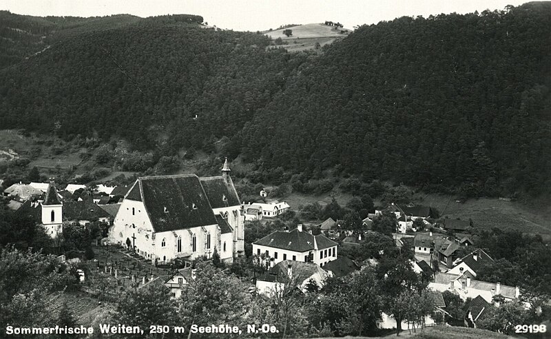
Deutsch: Ansichtskarte aus dem Jahr 1935 - Öst. Nationalbibliothek - Ansichtskartensammlung |
| Date | |
| Source | Own work |
| Author | Manfred Regall |
| Camera location | | View this and other nearby images on: OpenStreetMap |
|---|
Licensing
edit
I, the copyright holder of this work, hereby publish it under the following license:
This file is licensed under the Creative Commons Attribution-Share Alike 4.0 International license.
- You are free:
- to share – to copy, distribute and transmit the work
- to remix – to adapt the work
- Under the following conditions:
- attribution – You must give appropriate credit, provide a link to the license, and indicate if changes were made. You may do so in any reasonable manner, but not in any way that suggests the licensor endorses you or your use.
- share alike – If you remix, transform, or build upon the material, you must distribute your contributions under the same or compatible license as the original.
File history
Click on a date/time to view the file as it appeared at that time.
| Date/Time | Thumbnail | Dimensions | User | Comment | |
|---|---|---|---|---|---|
| current | 09:24, 26 October 2020 | | 1,545 × 951 (349 KB) | Wvdp (talk | contribs) | Cropped 8 % horizontally, 12 % vertically using CropTool with lossless mode. Removed border. |
| 16:08, 2 January 2020 |  | 1,678 × 1,075 (400 KB) | Manfred Regall (talk | contribs) | User created page with UploadWizard |
You cannot overwrite this file.
File usage on Commons
The following page uses this file: