File:AK Kassel-West.PNG

Size of this preview: 800 × 588 pixels. Other resolutions: 320 × 235 pixels | 640 × 470 pixels | 864 × 635 pixels.
Original file (864 × 635 pixels, file size: 188 KB, MIME type: image/png)
Captions
Captions
Add a one-line explanation of what this file represents
Summary
edit
| Description |
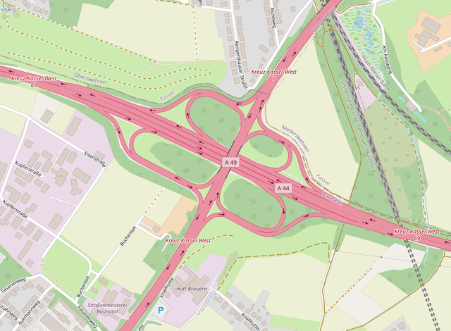
Deutsch: Lage des Autobahnkreuz Kassel-West (A49/A44) |
| Date | |
| Source | OpenStreetMap |
| Author | Tim Alex/OpenStreetMap und Mitwirkende |
Licensing
edit
I, the copyright holder of this work, hereby publish it under the following license:
This file is licensed under the Creative Commons Attribution-Share Alike 3.0 Unported license.
- You are free:
- to share – to copy, distribute and transmit the work
- to remix – to adapt the work
- Under the following conditions:
- attribution – You must give appropriate credit, provide a link to the license, and indicate if changes were made. You may do so in any reasonable manner, but not in any way that suggests the licensor endorses you or your use.
- share alike – If you remix, transform, or build upon the material, you must distribute your contributions under the same or compatible license as the original.
File history
Click on a date/time to view the file as it appeared at that time.
| Date/Time | Thumbnail | Dimensions | User | Comment | |
|---|---|---|---|---|---|
| current | 14:02, 16 August 2020 | | 864 × 635 (188 KB) | Jengelh (talk | contribs) | map update |
| 12:24, 30 November 2013 |  | 864 × 635 (328 KB) | Tim Alex (talk | contribs) | {{Information |Description ={{de|1=Lage des Autobahnkreuz Kassel-West (A49/A44)}} |Source =[http://www.openstreetmap.org OpenStreetMap] |Author =Tim Alex/OpenStreetMap und Mitwirkende |Date =2013-11-30 |Pe... |
You cannot overwrite this file.
File usage on Commons
The following page uses this file:
File usage on other wikis
The following other wikis use this file:
- Usage on de.wikipedia.org
- Usage on nl.wikipedia.org
- Usage on www.wikidata.org