File:AMH-2518-NA Map of the bay of Gale.jpg
Size of this preview: 708 × 600 pixels. Other resolutions: 283 × 240 pixels | 567 × 480 pixels | 907 × 768 pixels | 1,209 × 1,024 pixels | 2,400 × 2,033 pixels.
Original file (2,400 × 2,033 pixels, file size: 502 KB, MIME type: image/jpeg)
Captions
Captions
Add a one-line explanation of what this file represents
Summary
edit| Title |
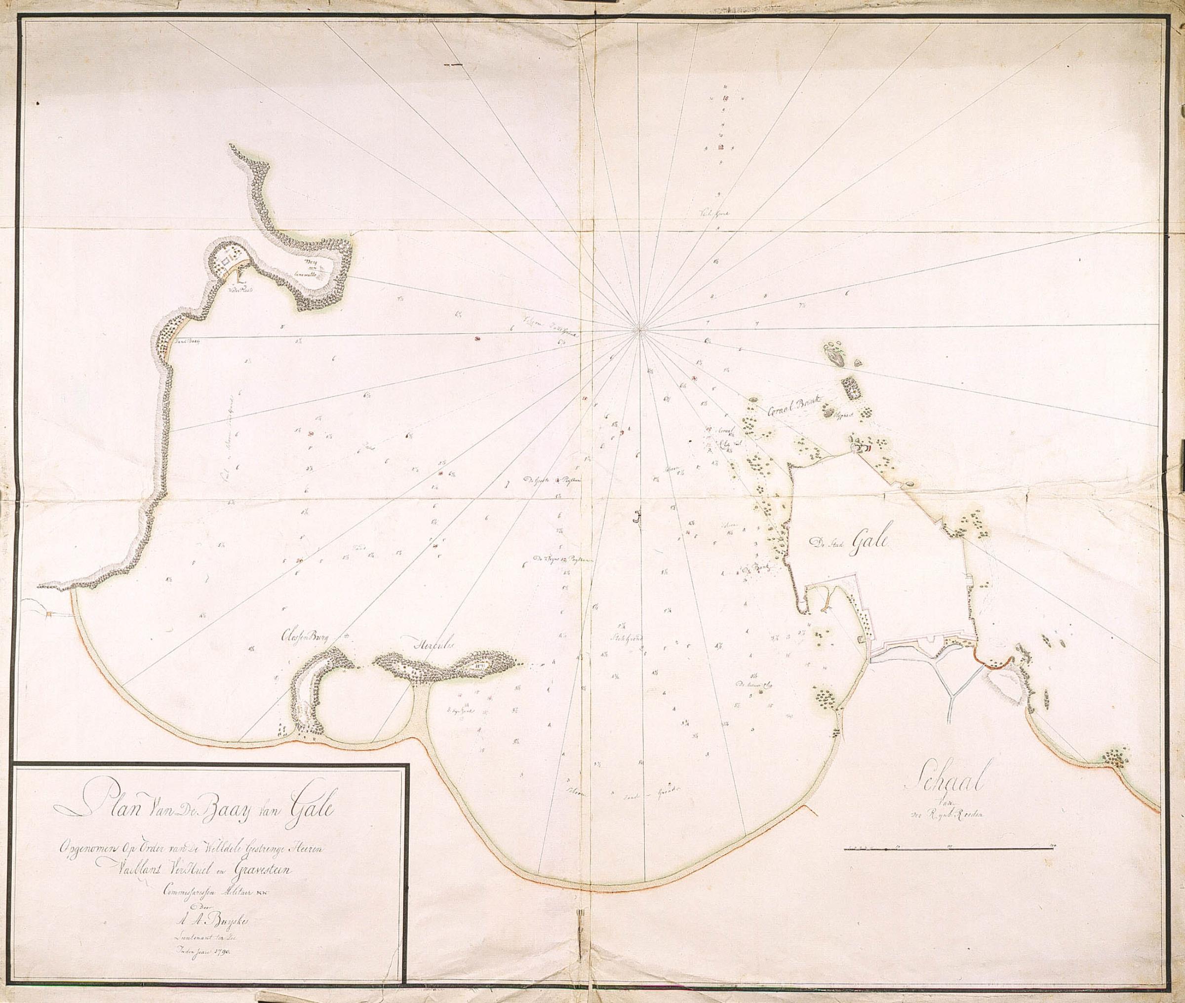
Nederlands: Plattegrond van de baai van Gale
English: Map of the bay of Gale |
|||||||||||||||||||||||
| Description |
Nederlands: Titel catalogus Leupe (NA): Plan van de baay van Gale.
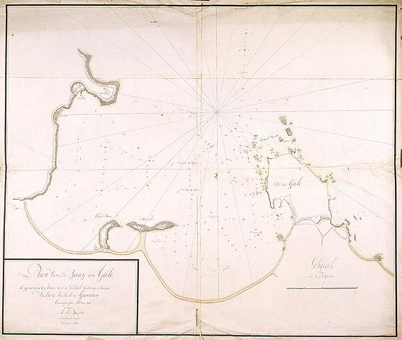
Notities verso: Nr. 8 Gale. Vergelijk met NA VEL0249, inzet linksonder met verschillende teksten. Topografische namen vermeld op deze kaart: Berg van Oenewatte, Clossenburg, Hercules, Olijphant.English: According to the Leupe (NA) catalogue, the original title reads: Plan van de baay van Gale.
Notes on reverse: Nr. 8 Gale. Compare with NA VEL0249, insert bottom left with different texts. Topographical names mentioned here: Berg van Oenewatte, Clossenburg, Hercules, Olijphant. |
|||||||||||||||||||||||
| Date | ||||||||||||||||||||||||
| Source |
|
|||||||||||||||||||||||
| Creator |
Nederlands: I.O. Vaillant (opdrachtgever), C.A. Verhuell (opdrachtgever), J.F.L van Gravestein (opdrachtgever), A.A. Buijskes (tekenaar)
English: I.O. Vaillant (patron), C.A. Verhuell (patron), J.F.L van Gravestein (patron), A.A. Buijskes (draughtsman) |
|||||||||||||||||||||||
| Permission (Reusing this file) |
|
|||||||||||||||||||||||
| Georeferencing | If inappropriate please set warp_status = skip to hide. | |||||||||||||||||||||||
| Archival data | ||||||||||||||||||||||||
| Collection |
|
|||||||||||||||||||||||
| Accession number |
NL-HaNA_4.VEL_248 (old number: VEL0248) |
|||||||||||||||||||||||
| Dimensions | height: 970 mm (38.18 in); width: 830 mm (32.67 in) | |||||||||||||||||||||||
| Medium |
Nederlands: ingekleurde tekening op papier
English: coloured drawing on paper |
|||||||||||||||||||||||
| Inscriptions |
Plan van de Baay van Gale
author: A.A. Buyskes |
|||||||||||||||||||||||
| Notes |
English: Subjects: chart / map / plan, fortification, anchorage / pier / harbour, banderole / cartouche / ornamentation
Nederlands: Onderwerpen: plattegrond / kaart, vesting, rede / haven / pier, banderol / cartouche / versiering
English: Post: this image is related to a VOC trading post called Galle |
|||||||||||||||||||||||
._Commissaris-generaal_(1816-19)_Rijksmuseum_SK-A-3794.jpeg)

| Object location | | View this and other nearby images on: OpenStreetMap |
|---|
File history
Click on a date/time to view the file as it appeared at that time.
| Date/Time | Thumbnail | Dimensions | User | Comment | |
|---|---|---|---|---|---|
| current | 15:50, 10 June 2014 | | 2,400 × 2,033 (502 KB) | HuskyBot (talk | contribs) | == {{int:filedesc}} == {{Artwork |title = {{nl|1=Plattegrond van de baai van Gale}} {{en|1=Map of the bay of Gale}} |description = {{nl|1=Titel catalogus Leupe (NA): ''Plan van de baay van Gale''. Notities ver... |
You cannot overwrite this file.
File usage on Commons
There are no pages that use this file.