File:AMH-5091-NA Chart of Table Bay, Hout Bay, Dassen and Robben islands.jpg
Size of this preview: 800 × 590 pixels. Other resolutions: 320 × 236 pixels | 640 × 472 pixels | 1,024 × 756 pixels | 1,280 × 945 pixels | 2,400 × 1,771 pixels.
Original file (2,400 × 1,771 pixels, file size: 647 KB, MIME type: image/jpeg)
Captions
Captions
Add a one-line explanation of what this file represents
Summary edit
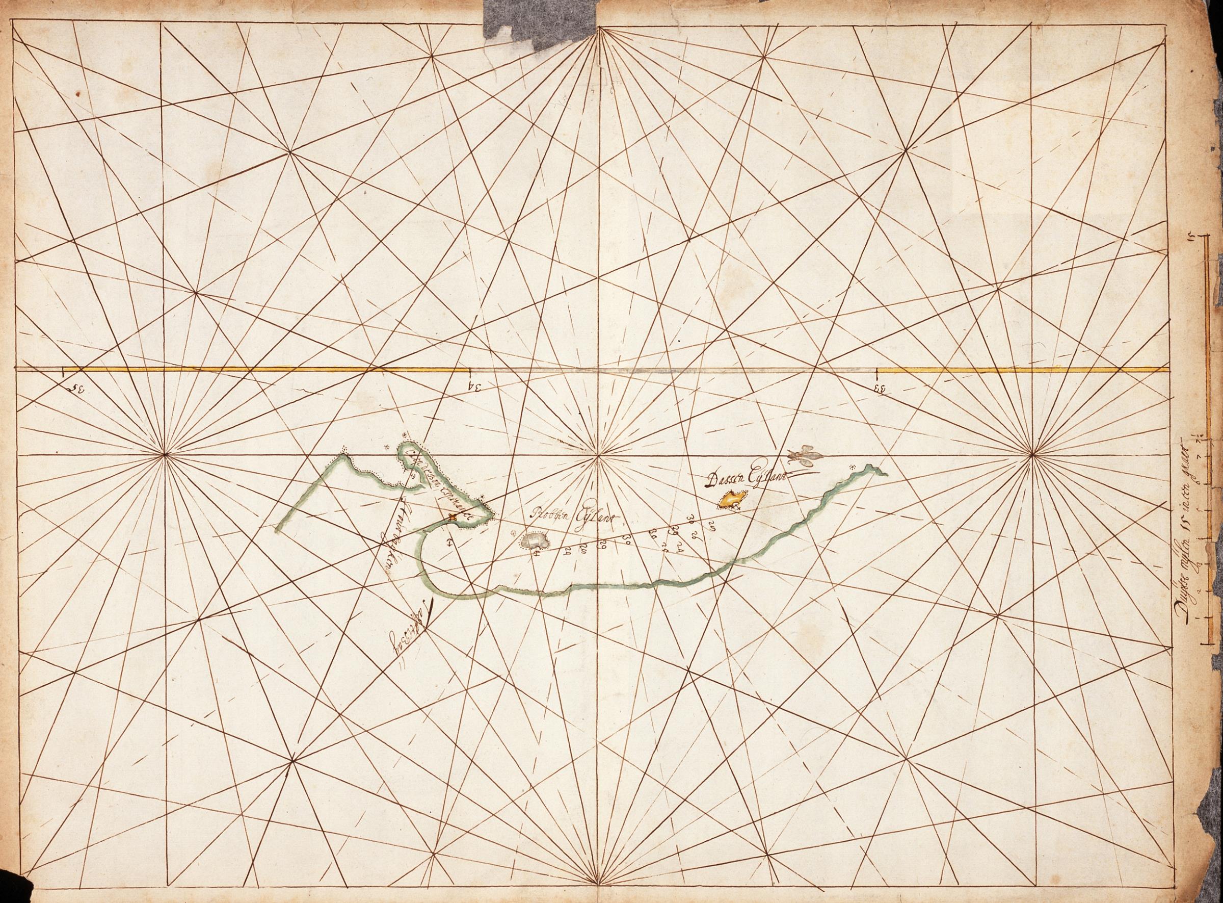
Nederlands: Kaart van de Tafelbaai, Houtbaai, Dassen- en Robbeneiland
English: Chart of Table Bay, Hout Bay, Dassen and Robben islands( |
||||||||||||||||||||||||
|---|---|---|---|---|---|---|---|---|---|---|---|---|---|---|---|---|---|---|---|---|---|---|---|---|
| Author |
Nederlands: Anoniem / Anonymous (landmeter / kaartenmaker)
English: Anoniem / Anonymous (land surveyor / mapmaker) |
|||||||||||||||||||||||
| Title |
Nederlands: Kaart van de Tafelbaai, Houtbaai, Dassen- en Robbeneiland
English: Chart of Table Bay, Hout Bay, Dassen and Robben islands |
|||||||||||||||||||||||
| Description |
Nederlands: Titel in catalogus Leupe (Nationaal Archief): Kaartje van de Tafel en Houtbayen met het Dassen en Robben Eyland.
Randen enigszins gescheurd, gedeeltelijk gerestaureerd. Notities verso: Van de Kaap 1656 4 deel / 272 [folionummer in de band ?] / 176 [in rood potlood].English: Title in Leupe catalogue (National Archives): Kaartje van de Tafel en Houtbayen met het Dassen en Robben Eyland.
Edges somewhat torn, partly restored. Notes on reverse: Van de Kaap 1656 4 deel / 272 [folio number in the volume ?] / 176 [in red pencil]. |
|||||||||||||||||||||||
| Date | circa 1656 | |||||||||||||||||||||||
| Medium |
Nederlands: ingekleurde tekening op papier
English: coloured drawing on paper |
|||||||||||||||||||||||
| Dimensions | height: 42.5 cm (16.7 in); width: 31.5 cm (12.4 in) | |||||||||||||||||||||||
| Collection |
|
|||||||||||||||||||||||
| Accession number |
NL-HaNA_4.VEL_176 (old number: VEL0176) |
|||||||||||||||||||||||
| Inscriptions |
-
|
|||||||||||||||||||||||
| Notes |
English: Subjects: chart / map / plan
Nederlands: Onderwerpen: plattegrond / kaart
English: Post: this image is related to a VOC trading post called Cape Town |
|||||||||||||||||||||||
| Source/Photographer |
|
|||||||||||||||||||||||
| Permission (Reusing this file) |
|
|||||||||||||||||||||||

| Object location | | View this and other nearby images on: OpenStreetMap |
|---|
File history
Click on a date/time to view the file as it appeared at that time.
| Date/Time | Thumbnail | Dimensions | User | Comment | |
|---|---|---|---|---|---|
| current | 17:15, 10 June 2014 | | 2,400 × 1,771 (647 KB) | HuskyBot (talk | contribs) | == {{int:filedesc}} == {{Artwork |title = {{nl|1=Kaart van de Tafelbaai, Houtbaai, Dassen- en Robbeneiland}} {{en|1=Chart of Table Bay, Hout Bay, Dassen and Robben islands}} |description = {{nl|1=Titel in catal... |
You cannot overwrite this file.
File usage on Commons
The following page uses this file: