File:AONBSUK.png
Size of this preview: 580 × 599 pixels. Other resolutions: 232 × 240 pixels | 465 × 480 pixels | 886 × 915 pixels.
Original file (886 × 915 pixels, file size: 37 KB, MIME type: image/png)
Captions
Captions
Add a one-line explanation of what this file represents

|
This file requires updating because: AONB expansion to the Dee Valley, and changes surrounding the establishment of the South Downs National Park In doing so, you could add a timestamp to the file.
|
| Description |
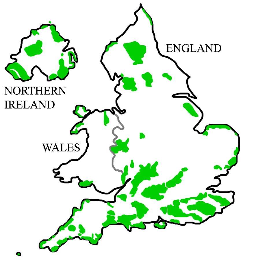
English: A map of all Areas of Outstanding Natural Beauty (AONB) in England, Wales, and Northern Ireland. LicensingHistory of Image:AONBSUK.jpg |
| Date |
22 September 2008 (original upload date) |
| Source | Own work (Original text: self-made) |
| Author | Asdfasdf1231234 (talk) |

|
This locator map image could be re-created using vector graphics as an SVG file. This has several advantages; see Commons:Media for cleanup for more information. If an SVG form of this image is available, please upload it and afterwards replace this template with
{{vector version available|new image name}}.
It is recommended to name the SVG file “AONBSUK.svg”—then the template Vector version available (or Vva) does not need the new image name parameter. |
Licensing edit
718 Bot at English Wikipedia, the copyright holder of this work, hereby publishes it under the following license:
This file is licensed under the Creative Commons Attribution 3.0 Unported license.
Attribution: 718 Bot at English Wikipedia
- You are free:
- to share – to copy, distribute and transmit the work
- to remix – to adapt the work
- Under the following conditions:
- attribution – You must give appropriate credit, provide a link to the license, and indicate if changes were made. You may do so in any reasonable manner, but not in any way that suggests the licensor endorses you or your use.
Original upload log edit
Transferred from en.wikipedia to Commons by Rawet06.
The original description page was here. All following user names refer to en.wikipedia.
- 2008-09-22 21:32 718 Bot 886×915× (247674 bytes) == Summary == {{Information |Description=A map of all [[Areas of Outstanding Natural Beauty]] (AONB) in [[England]], [[Wales]], and [[Northern Ireland]]. |Source=self-made |Date=5th April, 2008 |Location= |Author=[[User:Asdfasdf1231234|Asdfasdf1231234]] (
File history
Click on a date/time to view the file as it appeared at that time.
| Date/Time | Thumbnail | Dimensions | User | Comment | |
|---|---|---|---|---|---|
| current | 19:18, 10 August 2011 | | 886 × 915 (37 KB) | Jbarta (talk | contribs) | remove jpg artifacts, reduce colors |
| 16:29, 11 December 2008 |  | 886 × 915 (242 KB) | Rawet06 (talk | contribs) | {{Information |Description={{en|A map of all en:Areas of Outstanding Natural Beauty (AONB) in en:England, en:Wales, and en:Northern Ireland.<br/> == Licensing: == ==History of Image:AONBSUK.jpg== *2008-08-31T04:40:48Z [[:en:User:Bkell |
You cannot overwrite this file.
File usage on Commons
There are no pages that use this file.
File usage on other wikis
The following other wikis use this file:
- Usage on ar.wikipedia.org
- Usage on de.wikipedia.org
- Scilly-Inseln
- Anglesey
- Cotswolds
- South Downs
- Malvern Hills
- Mendip Hills
- Mourne Mountains
- Gower-Halbinsel
- Quantock Hills
- Lleyn-Halbinsel
- Chiltern Hills
- Lincolnshire Wolds
- Wye Valley
- Howardian Hills
- Strangford Lough
- Bodmin Moor
- Kent Downs
- Nidderdale
- Sperrin Mountains
- Arnside and Silverdale
- Forest of Bowland
- Vorlage:Navigationsleiste Area of Outstanding Natural Beauty
- North Pennines
- Rame Head (Cornwall)
- Dedham Vale
- Antrim Coast and Glens
- Surrey Hills
- Cornwall AONB
- Northumberland Coast
- Isle of Wight AONB
- Norfolk Coast
- Suffolk Coast and Heaths
- Usage on de.wikivoyage.org
- Usage on en.wikipedia.org
- Usage on fr.wikipedia.org
View more global usage of this file.