File:AT1401 map.png
Size of this preview: 614 × 600 pixels. Other resolutions: 246 × 240 pixels | 491 × 480 pixels | 824 × 805 pixels.
Original file (824 × 805 pixels, file size: 24 KB, MIME type: image/png)
Captions
Captions
Add a one-line explanation of what this file represents
Summary
edit
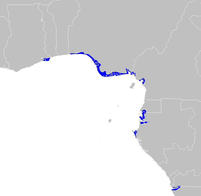
| Description | Central African mangroves ecoregion map |
| Date | |
| Source | Own work |
| Author | Altatoron |
Licensing
edit
| I, the copyright holder of this work, release this work into the public domain. This applies worldwide. In some countries this may not be legally possible; if so: I grant anyone the right to use this work for any purpose, without any conditions, unless such conditions are required by law. |
File history
Click on a date/time to view the file as it appeared at that time.
| Date/Time | Thumbnail | Dimensions | User | Comment | |
|---|---|---|---|---|---|
| current | 12:56, 30 January 2008 | | 824 × 805 (24 KB) | Doreano~commonswiki (talk | contribs) | {{Information |Description=Central African mangroves ecoregion map |Source=self-made |Date=2008/1/30 |Author= Altatoron |Permission= |other_versions= }} Category:Maps of Angola Category:Maps of Cameroon [[Category:Maps of Gabon] |
You cannot overwrite this file.
File usage on Commons
There are no pages that use this file.
File usage on other wikis
The following other wikis use this file:
- Usage on ca.wikipedia.org
- Usage on de.wikipedia.org
- Usage on en.wikipedia.org
- Usage on eo.wikipedia.org
- Usage on es.wikipedia.org
- Usage on fr.wikipedia.org
- Usage on it.wikipedia.org
- Usage on nl.wikipedia.org
- Usage on ru.wikipedia.org
- Usage on uk.wikipedia.org
- Usage on www.wikidata.org