File:A Map of the County of Devon, with the City & County of Exeter - Delineated from an actual Survey, by Benjamin Donn ; Engraved by Tho(ma)s Jefferys, Geographer to his Majesty ; To John Baring of... - btv1b53056953n (01 of 12).jpg

Size of this preview: 463 × 600 pixels. Other resolutions: 185 × 240 pixels | 370 × 480 pixels | 593 × 768 pixels | 790 × 1,024 pixels | 1,580 × 2,048 pixels | 6,112 × 7,920 pixels.
Original file (6,112 × 7,920 pixels, file size: 5.36 MB, MIME type: image/jpeg)
Captions
Captions
Add a one-line explanation of what this file represents
Summary
edit| Author |
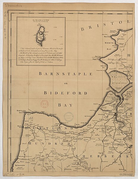
Donn, Benjamin (1729-1798). Cartographe. Dédicateur Jefferys, Thomas (1719?-1771). Graveur |
||||||||||||||||||||||||||
| Title |
A Map of the County of Devon, with the City & County of Exeter / Delineated from an actual Survey, by Benjamin Donn ; Engraved by Tho[ma]s Jefferys, Geographer to his Majesty ; To John Baring of Mount-Radford ; & To Matthew Lee of Ebford, near Exeter Esq.rs |
||||||||||||||||||||||||||
| Description |
Français : Sujet : Armoiries
Cartouches (ornement) Devon, Comté du Lundy (île) Plymouth Exeter Roses des vents Échelle(s) : [1:63 000 env.], 8 Statute Miles 69 ½ nearly to a Degree [= 20,2 cm] Appartient à l’ensemble documentaire : AnvilEur Appartient à l’ensemble documentaire : MAEDI008 Appartient à l’ensemble documentaire : MAEDIGen0 Couverture : Royaume-Uni – Angleterre – Devon Langue : anglais Éditeur : [s.n.] |
||||||||||||||||||||||||||
| Date | 1765 | ||||||||||||||||||||||||||
| Dimensions | height: 50 cm (19.6 in); width: 65.5 cm (25.7 in) | ||||||||||||||||||||||||||
| Collection |
|
||||||||||||||||||||||||||
| References |
Français : Notice de recueil : http://catalogue.bnf.fr/ark:/12148/cb40577015h
Appartient à : Collection d'Anville ; 02152 Notice du catalogue : http://catalogue.bnf.fr/ark:/12148/cb406840662 |
||||||||||||||||||||||||||
| Source/Photographer |
Français : Bibliothèque nationale de France, département Cartes et plans, GE DD-2987 (2152, 1-12)
Bibliothèque nationale de France (1/12) |
||||||||||||||||||||||||||
| Permission (Reusing this file) |
|
||||||||||||||||||||||||||

s_Jefferys,_Geographer_to_his_Majesty_;_To_John_Baring_of..._-_btv1b53056953n_(01_of_12).jpg&action=edit§ion=1)
File history
Click on a date/time to view the file as it appeared at that time.
| Date/Time | Thumbnail | Dimensions | User | Comment | |
|---|---|---|---|---|---|
| current | 21:46, 23 August 2022 | | 6,112 × 7,920 (5.36 MB) | Gzen92Bot (talk | contribs) | Gallica btv1b53056953n |
You cannot overwrite this file.
File usage on Commons
The following page uses this file:
s_Jefferys,_Geographer_to_his_Majesty_;_To_John_Baring_of..._-_btv1b53056953n_(01_of_12).jpg)
s_Jefferys,_Geographer_to_his_Majesty_;_To_John_Baring_of..._-_btv1b53056953n_(01_of_12).jpg&oldid=868496783)