File:A map of the Western part of the Roman Empire - by Thos Kitchin Senr... - btv1b53057952j.jpg

Size of this preview: 746 × 600 pixels. Other resolutions: 299 × 240 pixels | 597 × 480 pixels | 955 × 768 pixels | 1,274 × 1,024 pixels | 2,547 × 2,048 pixels | 6,248 × 5,024 pixels.
Original file (6,248 × 5,024 pixels, file size: 3.62 MB, MIME type: image/jpeg)
Captions
Captions
Add a one-line explanation of what this file represents
Summary
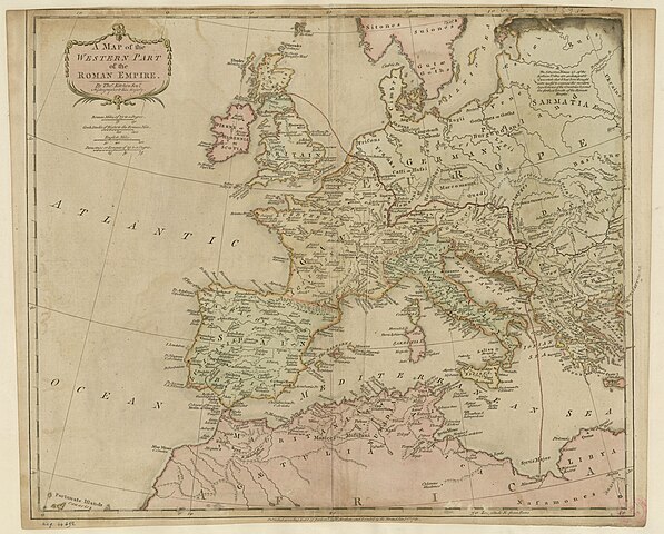
edit| A map of the Western part of the Roman Empire / by Thos Kitchin Senr, ...
( |
|||||||||||||||||||||||||||
|---|---|---|---|---|---|---|---|---|---|---|---|---|---|---|---|---|---|---|---|---|---|---|---|---|---|---|---|
| Author |
Kitchen, Thomas (1718-1784). Auteur du texte Strahan, William (1715-1785). Auteur du texte Cadell, Thomas (1742-1802). Auteur du texte |
||||||||||||||||||||||||||
| Title |
A map of the Western part of the Roman Empire / by Thos Kitchin Senr, ... |
||||||||||||||||||||||||||
| Description |
Français : Sujet : Romain, Empire -- Ouest
Échelle(s) : Roman miles of 75 to a degree 150 [=Om, 025 ; 1:8 550 000 environ] Couverture : Monde Langue : anglais Éditeur : W. Strahan and T. Cadell (London) |
||||||||||||||||||||||||||
| Date | 1781 | ||||||||||||||||||||||||||
| Collection |
|
||||||||||||||||||||||||||
| References |
Français : Notice du catalogue : http://catalogue.bnf.fr/ark:/12148/cb40612947b |
||||||||||||||||||||||||||
| Source/Photographer |
Français : Bibliothèque nationale de France, département Cartes et plans, GE D-21939
Bibliothèque nationale de France |
||||||||||||||||||||||||||
| Permission (Reusing this file) |
|
||||||||||||||||||||||||||

File history
Click on a date/time to view the file as it appeared at that time.
| Date/Time | Thumbnail | Dimensions | User | Comment | |
|---|---|---|---|---|---|
| current | 09:16, 5 July 2022 | | 6,248 × 5,024 (3.62 MB) | Gzen92Bot (talk | contribs) | Gallica btv1b53057952j |
You cannot overwrite this file.
File usage on Commons
The following page uses this file: