File:A pumping station - geograph.org.uk - 1098838.jpg
No higher resolution available.
A_pumping_station_-_geograph.org.uk_-_1098838.jpg (640 × 480 pixels, file size: 151 KB, MIME type: image/jpeg)
Captions
Captions
Add a one-line explanation of what this file represents
Summary edit
| Description |
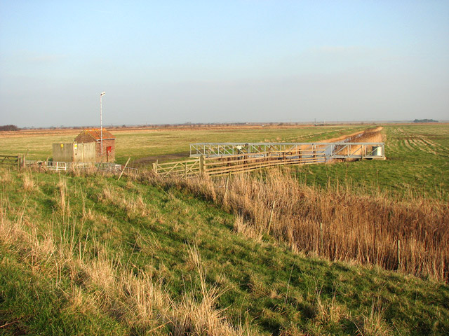
English: A pumping station Beside track doubling as a public footpath. It starts by the staithe in West Somerton and links with Horsey Road further to the northeast. Footprints in the soft ground indicate that this area is grazed by cattle during the summer; in late December the pasture was empty of livestock.
In the 13th century most of the marsh pastures in the Broads could only be grazed during the summer months, when the area was not flooded. It was during this time that sea levels were rising and flooding became more frequent. As a consequence, dykes were dug and embankments built in order to protect the grazing marshes. When this was no longer sufficient, wind-powered drainage mills were built, which pumped water from the marshes into dykes and from there into the rivers. Grazing in the marshes became more extensive from the mid-18th century onwards - the drained marshes contain lots of nutrients and the grazing is very lush. By the 19th century many of the wind-powered mills were supplemented by steam-powered pumps and during the first half of the 20th century diesel-powered pumps started to replace wind-powered drainage. Diesel pumps are much more efficient than wind drainage pumps and as it got drier, the surrounding peaty soil shrank, resulting in areas that are lower than the water level in the river and lower even than sea level. Today the marshes are drained by pumps which are electricity-powered. |
| Date | |
| Source | From geograph.org.uk |
| Author | Evelyn Simak |
| Attribution (required by the license) | Evelyn Simak / A pumping station / |
| Camera location | | View this and other nearby images on: OpenStreetMap |
|---|
_heading:22.00&language=en)
| Object location | | View this and other nearby images on: OpenStreetMap |
|---|
_heading:22.00&language=en)
Licensing edit

|
This image was taken from the Geograph project collection. See this photograph's page on the Geograph website for the photographer's contact details. The copyright on this image is owned by Evelyn Simak and is licensed for reuse under the Creative Commons Attribution-ShareAlike 2.0 license.
|
This file is licensed under the Creative Commons Attribution-Share Alike 2.0 Generic license.
Attribution: Evelyn Simak
- You are free:
- to share – to copy, distribute and transmit the work
- to remix – to adapt the work
- Under the following conditions:
- attribution – You must give appropriate credit, provide a link to the license, and indicate if changes were made. You may do so in any reasonable manner, but not in any way that suggests the licensor endorses you or your use.
- share alike – If you remix, transform, or build upon the material, you must distribute your contributions under the same or compatible license as the original.
- Remove redundant categories and try to put this image in the most specific category/categories
- Remove this template
- The location categories are based on information from this geonames tool and this OpenStreetMap tool combined with a database. You can also have a look at this tool from mysociety.
- The topic category from Geograph was Pumping station (find similar images station at Geograph)
File history
Click on a date/time to view the file as it appeared at that time.
| Date/Time | Thumbnail | Dimensions | User | Comment | |
|---|---|---|---|---|---|
| current | 13:22, 24 February 2011 | | 640 × 480 (151 KB) | GeographBot (talk | contribs) | == {{int:filedesc}} == {{Information |description={{en|1=A pumping station Beside track doubling as a public footpath. It starts by the staithe in West Somerton and links with Horsey Road further to the northeast. Footprints in the soft ground indicate t |
You cannot overwrite this file.
File usage on Commons
There are no pages that use this file.