File:A tributary stream and its valley - geograph.org.uk - 1062951.jpg
No higher resolution available.
A_tributary_stream_and_its_valley_-_geograph.org.uk_-_1062951.jpg (640 × 480 pixels, file size: 89 KB, MIME type: image/jpeg)
Captions
Captions
Add a one-line explanation of what this file represents
Summary edit
| Description |
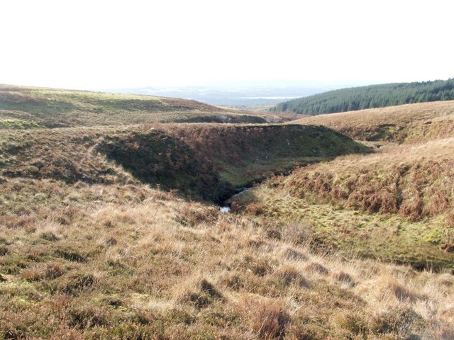
English: A tributary stream and its valley [This is one of a series of images showing the landscape encountered on a journey between Murroch Burn and the ruins of Auchenreoch, including several tributaries of the burn.]
This is the second of the tributary streams that I crossed. Its valley is deeper and more steep-sided than that of the previous stream. Previous: 1062942. Next: 1062968. |
| Date | |
| Source | From geograph.org.uk |
| Author | Lairich Rig |
| Attribution (required by the license) | Lairich Rig / A tributary stream and its valley / |
| Camera location | | View this and other nearby images on: OpenStreetMap |
|---|
_heading:270.00&language=en)
| Object location | | View this and other nearby images on: OpenStreetMap |
|---|
_heading:270.00&language=en)
Licensing edit

|
This image was taken from the Geograph project collection. See this photograph's page on the Geograph website for the photographer's contact details. The copyright on this image is owned by Lairich Rig and is licensed for reuse under the Creative Commons Attribution-ShareAlike 2.0 license.
|
This file is licensed under the Creative Commons Attribution-Share Alike 2.0 Generic license.
Attribution: Lairich Rig
- You are free:
- to share – to copy, distribute and transmit the work
- to remix – to adapt the work
- Under the following conditions:
- attribution – You must give appropriate credit, provide a link to the license, and indicate if changes were made. You may do so in any reasonable manner, but not in any way that suggests the licensor endorses you or your use.
- share alike – If you remix, transform, or build upon the material, you must distribute your contributions under the same or compatible license as the original.
File history
Click on a date/time to view the file as it appeared at that time.
| Date/Time | Thumbnail | Dimensions | User | Comment | |
|---|---|---|---|---|---|
| current | 03:18, 24 February 2011 | | 640 × 480 (89 KB) | GeographBot (talk | contribs) | == {{int:filedesc}} == {{Information |description={{en|1=A tributary stream and its valley [This is one of a series of images showing the landscape encountered on a journey between Murroch Burn and the ruins of Auchenreoch, including several tributaries o |
You cannot overwrite this file.
File usage on Commons
There are no pages that use this file.