File:Acra fortress 20170421 124721465.jpg

Size of this preview: 450 × 600 pixels. Other resolutions: 180 × 240 pixels | 360 × 480 pixels | 576 × 768 pixels | 768 × 1,024 pixels | 1,944 × 2,592 pixels.
Original file (1,944 × 2,592 pixels, file size: 1.56 MB, MIME type: image/jpeg)
Captions
Captions
Add a one-line explanation of what this file represents
Summary
edit
| Description |
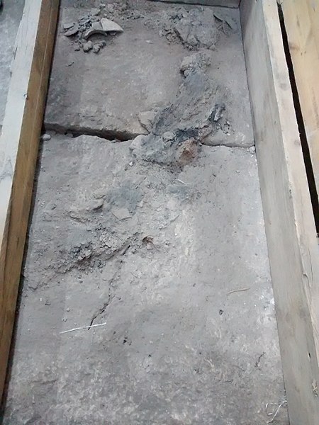
עברית: עיר דוד היא אתר ארכאולוגי שבו שכנה ירושלים הקדומה החל מראשית ימיה, בתקופת הברונזה התיכונה, והיא המשיכה להיות מיושבת עד לאמצע ימי הביניים.
|
||
| Date | |||
| Source | Own work | ||
| Author | TaBaZzz |
| Camera location | | View this and other nearby images on: OpenStreetMap |
|---|

|
This image was taken as part of the Elef Millim project trip to the Acra fortress City of David, in Jerusalem which was held on Friday, 21st April 2017.
|
Licensing
edit
I, the copyright holder of this work, hereby publish it under the following license:
This file is licensed under the Creative Commons Attribution-Share Alike 4.0 International license.
- You are free:
- to share – to copy, distribute and transmit the work
- to remix – to adapt the work
- Under the following conditions:
- attribution – You must give appropriate credit, provide a link to the license, and indicate if changes were made. You may do so in any reasonable manner, but not in any way that suggests the licensor endorses you or your use.
- share alike – If you remix, transform, or build upon the material, you must distribute your contributions under the same or compatible license as the original.

|
This image was uploaded as part of Wiki Loves Monuments 2017.
|
 |
File history
Click on a date/time to view the file as it appeared at that time.
| Date/Time | Thumbnail | Dimensions | User | Comment | |
|---|---|---|---|---|---|
| current | 16:13, 19 October 2017 | | 1,944 × 2,592 (1.56 MB) | טבעת-זרם (talk | contribs) | User created page with UploadWizard |
You cannot overwrite this file.
File usage on Commons
The following page uses this file: