File:Admiralty Chart No 3280 Hongkong Waters West . . . From Surveys by Captain W.U. Moore, R.N., and the Officers of H.M. Surveying Ships Rambler & Penguin 1886 & 1893, Published 1903, Corrections to 1920.jpg

Size of this preview: 800 × 537 pixels. Other resolutions: 320 × 215 pixels | 640 × 429 pixels | 1,024 × 687 pixels | 1,280 × 859 pixels | 2,560 × 1,717 pixels | 24,126 × 16,186 pixels.
Original file (24,126 × 16,186 pixels, file size: 69.46 MB, MIME type: image/jpeg)
Captions
Captions
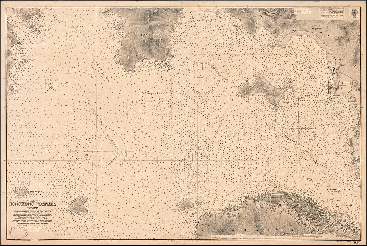
1920 Admiralty Chart - Hongkong Waters West . . . From Surveys by Captain W.U. Moore, R.N., and the Officers of H.M. Surveying Ships Rambler & Penguin 1886 & 1893 . . .
Summary
edit
| Warning | The original file is very high-resolution. It might not load properly or could cause your browser to freeze when opened at full size. |
|---|
| Description |
English: 1920 Admiralty Chart - Hongkong Waters West . . . From Surveys by Captain W.U. Moore, R.N., and the Officers of H.M. Surveying Ships Rambler & Penguin 1886 & 1893 . . . |
||||||||||
| Date | |||||||||||
| Source | https://www.raremaps.com/gallery/detail/55527/hongkong-waters-west-from-surveys-by-captain-wu-moor-british-admiralty | ||||||||||
| Creator |
|
||||||||||
| Georeferencing | |||||||||||
Licensing
edit
This work created by the United Kingdom Government is in the public domain.
This is because it is one of the following:
HMSO has declared that the expiry of Crown Copyrights applies worldwide (ref: HMSO Email Reply)
|
 |
File history
Click on a date/time to view the file as it appeared at that time.
| Date/Time | Thumbnail | Dimensions | User | Comment | |
|---|---|---|---|---|---|
| current | 18:55, 28 March 2020 | | 24,126 × 16,186 (69.46 MB) | Balkanique (talk | contribs) | Uploaded a work by British Admiralty from https://www.raremaps.com/gallery/detail/55527/hongkong-waters-west-from-surveys-by-captain-wu-moor-british-admiralty with UploadWizard |
You cannot overwrite this file.
File usage on Commons
The following page uses this file: