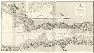
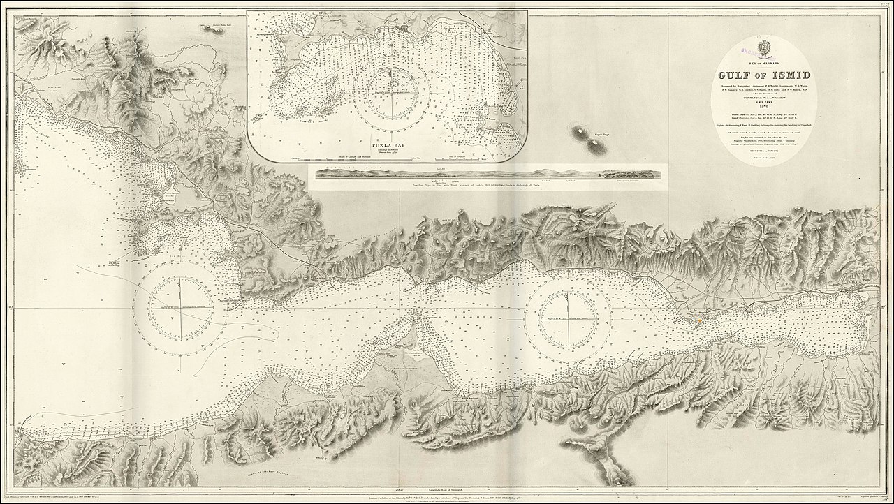
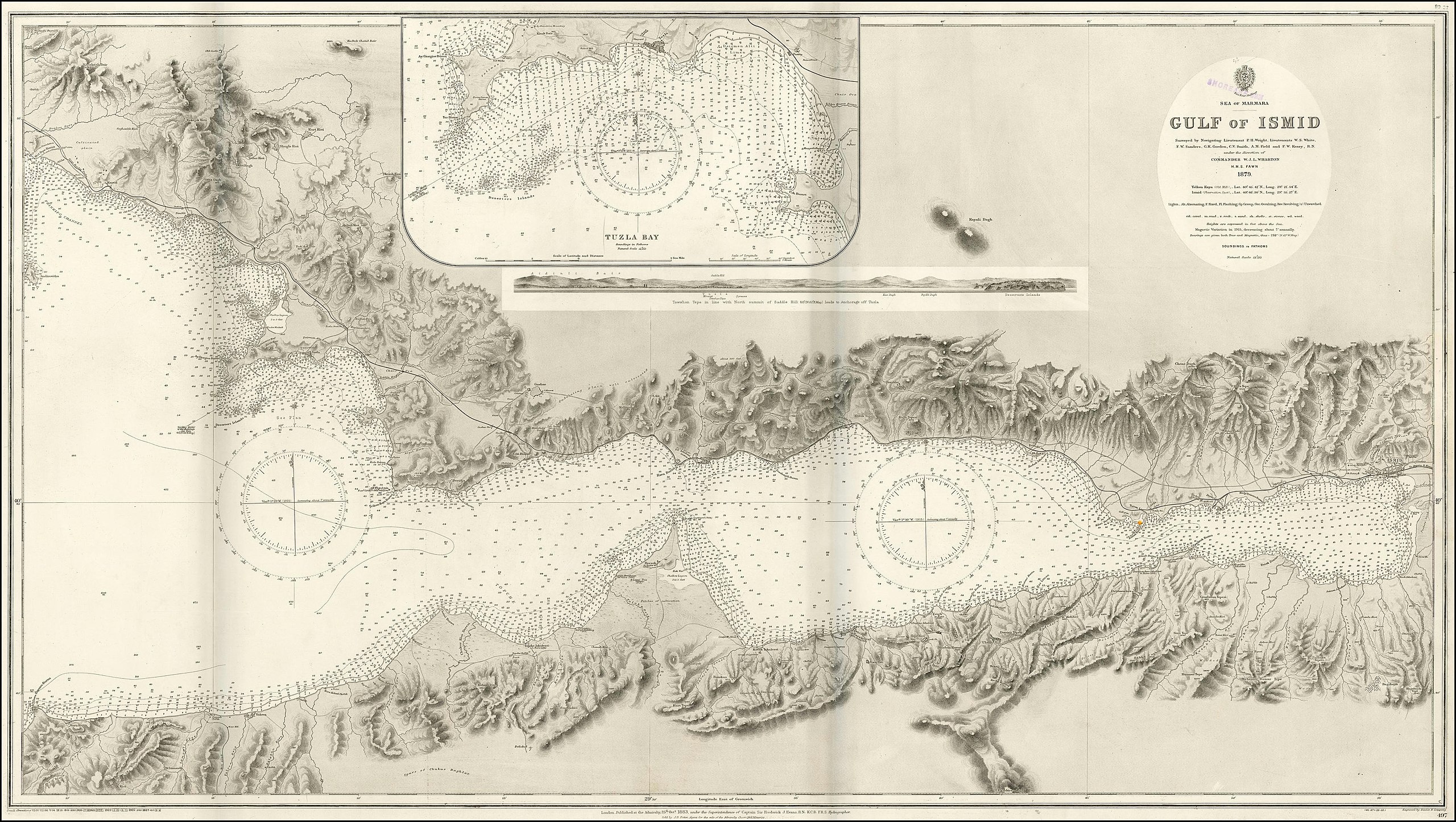
File:Admiralty Chart No 497 Gulf of Ismid at the Sea of Marmara, Surveyed 1879, Published 1883.jpg

Size of this preview: 800 × 452 pixels. Other resolutions: 320 × 181 pixels | 640 × 361 pixels | 1,024 × 578 pixels | 1,280 × 722 pixels | 2,560 × 1,445 pixels | 3,898 × 2,200 pixels.
Original file (3,898 × 2,200 pixels, file size: 1.66 MB, MIME type: image/jpeg)
Captions
Captions
Admiralty Chart No 497 Gulf of Ismid at the Sea of Marmara, Surveyed 1879, Published 1883
Summary
edit
| Description |
English: 1879 admiralty chart of the Gulf of Ismid at the Sea of Marmara |
||||||||||
| Date | |||||||||||
| Source | https://www.raremaps.com/gallery/detail/43576/sea-of-marmara----gulf-of-ismid-surveyed-by-navigating-british-admiralty | ||||||||||
| Author |
|
||||||||||
Licensing
edit
|
This work is in the public domain in its country of origin and other countries and areas where the copyright term is the author's life plus 70 years or fewer. This work is in the public domain in the United States because it was published (or registered with the U.S. Copyright Office) before January 1, 1929. | |
| This file has been identified as being free of known restrictions under copyright law, including all related and neighboring rights. | |
File history
Click on a date/time to view the file as it appeared at that time.
| Date/Time | Thumbnail | Dimensions | User | Comment | |
|---|---|---|---|---|---|
| current | 20:01, 14 March 2020 | | 3,898 × 2,200 (1.66 MB) | Balkanique (talk | contribs) | Uploaded a work by British Admiralty from https://www.raremaps.com/gallery/detail/43576/sea-of-marmara----gulf-of-ismid-surveyed-by-navigating-british-admiralty with UploadWizard |
You cannot overwrite this file.
File usage on Commons
There are no pages that use this file.