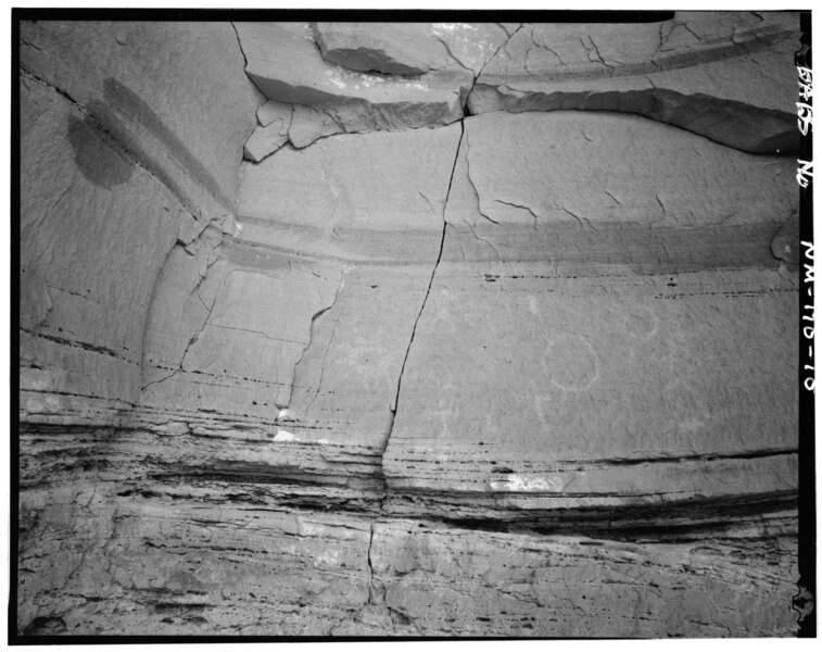
File:Adolfo Canyon Pueblito, Adolfo Canyon, Dulce, Rio Arriba County, NM HABS NM,20-DUL.V,1-10.tif

Original file(5,500 × 4,356 pixels, file size: 22.85 MB, MIME type: image/tiff)

Captions

Captions

Add a one-line explanation of what this file represents

Summary edit

- Adolfo Canyon Pueblito, Adolfo Canyon, Dulce, Rio Arriba County, NM
Photographer

Related names:

Laird, Verner W, field team
Dharmadhikari, Kirtimalini S, field team
Zareen, Hadiba, field team
Gaudy, Peggy, field team
Barbee, William C, project manager
Wegman-French, Lysa, transmitter
Thallheimer, Arnold, photographer
Barbee, William C, delineator
Title
- Adolfo Canyon Pueblito, Adolfo Canyon, Dulce, Rio Arriba County, NM
Depicted place New Mexico; Rio Arriba County; Dulce
Date Documentation compiled after 1933
Dimensions 4 x 5 in.
Current location
Library of Congress Prints and Photographs Division Washington, D.C. 20540 USA http://hdl.loc.gov/loc.pnp/pp.print
Accession number
HABS NM,20-DUL.V,1-10
Credit line
This file comes from the Historic American Buildings Survey (HABS), Historic American Engineering Record (HAER) or Historic American Landscapes Survey (HALS). These are programs of the National Park Service established for the purpose of documenting historic places. Records consist of measured drawings, archival photographs, and written reports.

This tag does not indicate the copyright status of the attached work. A normal copyright tag is still required. See Commons:Licensing.

Notes
  • Significance: The pueblitos are small mulit-roomed masonry dwellings found in the Navajo homeland, or Dinetah region of northwest New Mexico. Dating from the early 17th century, the pueblitos are significant indicators of the complex social relations that existed among the Navajos, Pueblos and other tribes, and the Spaniards. Situated on a small rock outcrop overlooking the upper portion of Adolfo Canyon, the Adolfo Canyon Pueblito is an excellent example of the defensive strategies employed in the development of the pueblito sites. Recent studies of the pueblitos suggest that defensive strategies include line-of-sight to other pueblitos. From the Adolfo Canyon Pueblito Gould Pass Pueblito (NM-168) is clearly visible. While the Adolfo Canyon Pueblito was constructed circa 1747, eight hogans were built as early as circa 1725. Unique features include a large juniper log laid across the rock outcrop, supporting a masonry wall on the east elevation and a petroglyph panel below the rock bench on which the pueblito is constructed.
  • Unprocessed Field note material exists for this structure: N570
  • Survey number: HABS NM-170
  • Building/structure dates: ca. 1747 Initial Construction
Source https://www.loc.gov/pictures/item/nm0182.photos.381140p
Permission
(Reusing this file)
Public domain This image or media file contains material based on a work of a National Park Service employee, created as part of that person's official duties. As a work of the U.S. federal government, such work is in the public domain in the United States. See the NPS website and NPS copyright policy for more information.
Object location36° 56′ 01″ N, 106° 59′ 53.99″ W Kartographer map based on OpenStreetMap.View this and other nearby images on: OpenStreetMapinfo

File history

Click on a date/time to view the file as it appeared at that time.

Date/TimeThumbnailDimensionsUserComment
current23:36, 28 July 2014Thumbnail for version as of 23:36, 28 July 20145,500 × 4,356 (22.85 MB) (talk | contribs)GWToolset: Creating mediafile for Fæ. HABS 24 July 2014 (2301:2600)

Metadata