File:Aerials TG 20.09.2005 15-08-50.jpg

Size of this preview: 800 × 499 pixels. Other resolutions: 320 × 200 pixels | 640 × 399 pixels | 1,024 × 639 pixels | 1,280 × 798 pixels | 2,048 × 1,277 pixels.
Original file (2,048 × 1,277 pixels, file size: 2.63 MB, MIME type: image/jpeg)
Captions
Captions
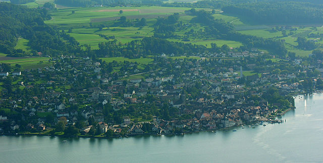
Aerial photograph of Steckborn
| Description | Aerial view of Steckborn |
| Date | |
| Source | Own work: Hansueli Krapf (User Simisa (talk · contribs)) |
| Author | Hansueli Krapf |
| Permission (Reusing this file) |
Creative Commons Attribution ShareAlike 3.0 |
| Camera location | | View this and other nearby images on: OpenStreetMap |
|---|
This file is licensed under the Creative Commons Attribution-Share Alike 3.0 Unported license.
- You are free:
- to share – to copy, distribute and transmit the work
- to remix – to adapt the work
- Under the following conditions:
- attribution – You must give appropriate credit, provide a link to the license, and indicate if changes were made. You may do so in any reasonable manner, but not in any way that suggests the licensor endorses you or your use.
- share alike – If you remix, transform, or build upon the material, you must distribute your contributions under the same or compatible license as the original.
File history
Click on a date/time to view the file as it appeared at that time.
| Date/Time | Thumbnail | Dimensions | User | Comment | |
|---|---|---|---|---|---|
| current | 09:31, 3 August 2024 | | 2,048 × 1,277 (2.63 MB) | Simisa (talk | contribs) | Color editing (LrMediaWiki 1.8.0, LR 13.4 Win) |
| 13:35, 10 November 2009 |  | 2,040 × 1,030 (1.78 MB) | Simisa (talk | contribs) | {{Information |Description={{CHE}}, {{Thurgau}}, Aerial view of Steckborn |Source={{Own}}: Hansueli Krapf (User {{User|Simisa}}) |Date=2005-09-20 |Author=Hansueli Krapf |Permission=Creative Commons Attribution ShareAlike 3.0 |other_versio |
You cannot overwrite this file.
File usage on Commons
The following 3 pages use this file:
File usage on other wikis
The following other wikis use this file:
- Usage on it.wikipedia.org