File:Afghanistan Pakistan Locator.png
Size of this preview: 800 × 351 pixels. Other resolutions: 320 × 140 pixels | 640 × 281 pixels | 1,425 × 625 pixels.
Original file (1,425 × 625 pixels, file size: 32 KB, MIME type: image/png)
Captions
Captions
Add a one-line explanation of what this file represents

|
File:Afghanistan Pakistan Locator.svg is a vector version of this file. It should be used in place of this PNG file when not inferior.
File:Afghanistan Pakistan Locator.png → File:Afghanistan Pakistan Locator.svg
For more information, see Help:SVG. |
 |
Summary
edit
| Description |
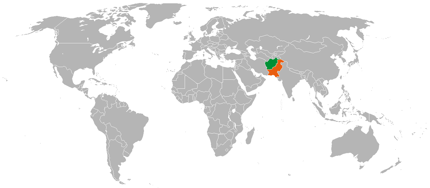
English: Map of the world showing Pakistan and Afghanistan, created for the en:Afghan-Pakistan relations article. Русский: Афганистан и Пакистан на политической карте мира. Иллюстрация для статей об афгано-пакистанских отношениях. |
| Date | |
| Source |
Own work This file was derived from: |
| Author | Pahari Sahib |
Licensing
edit
| I, the copyright holder of this work, release this work into the public domain. This applies worldwide. In some countries this may not be legally possible; if so: I grant anyone the right to use this work for any purpose, without any conditions, unless such conditions are required by law. |
Original upload log
edit
The original description page was here. All following user names refer to ru.wikipedia.
- 2012-12-29 13:01 Region190 1425×625× (32406 bytes) {{Изображение | Описание = Афганистан и Пакистан | Источник = собственная работа | Время создания = 16-53 | Автор = я }}
File history
Click on a date/time to view the file as it appeared at that time.
| Date/Time | Thumbnail | Dimensions | User | Comment | |
|---|---|---|---|---|---|
| current | 17:52, 6 March 2017 | | 1,425 × 625 (32 KB) | OgreBot (talk | contribs) | (BOT): Uploading old version of file from ru.wikipedia; originally uploaded on 2012-12-29 13:01:59 by Region190 |
| 02:31, 28 May 2008 |  | 1,425 × 625 (28 KB) | Pahari Sahib (talk | contribs) | == Summary == Description: Map of the world showing Pakistan and Afghanistan, created for the Afghan-Pakistan relations article. Source: Own work, I edited Image:BlankMap-World-v5.png Date: 13th May 2008 Author: [[User:Pahari Sahib|<font color="g | |
| 02:16, 28 May 2008 |  | 1,425 × 625 (28 KB) | Pahari Sahib (talk | contribs) | == Summary == Description: Map of the world showing Pakistan and Afghanistan, created for the Afghan-Pakistan relations article. Source: Own work, I edited Image:BlankMap-World-v5.png Date: 13th May 2008 Author: [[User:Pahari Sahib|<font color="g | |
| 02:15, 28 May 2008 |  | 1,425 × 625 (28 KB) | Pahari Sahib (talk | contribs) | == Summary == Description: Map of the world showing Pakistan and Afghanistan, created for the Afghan-Pakistan relations article. Source: Own work, I edited Image:BlankMap-World-v5.png Date: 13th May 2008 Author: [[User:Pahari Sahib|<font color="g | |
| 02:13, 28 May 2008 |  | 1,425 × 625 (28 KB) | Pahari Sahib (talk | contribs) | == Summary == Description: Map of the world showing Pakistan and Afghanistan, created for the Afghan-Pakistan relations article. Source: Own work, I edited Image:BlankMap-World-v5.png Date: 13th May 2008 Author: [[User:Pahari Sahib|<font color="g |
You cannot overwrite this file.
File usage on Commons
There are no pages that use this file.
File usage on other wikis
The following other wikis use this file:
- Usage on en.wikipedia.org
- Usage on fa.wikipedia.org
- Usage on id.wikipedia.org
- Usage on nl.wikipedia.org