File:Africa location map without rivers.svg

Size of this PNG preview of this SVG file: 635 × 600 pixels. Other resolutions: 254 × 240 pixels | 508 × 480 pixels | 813 × 768 pixels | 1,084 × 1,024 pixels | 2,169 × 2,048 pixels | 1,525 × 1,440 pixels.
Original file (SVG file, nominally 1,525 × 1,440 pixels, file size: 529 KB)
Captions
Captions
Add a one-line explanation of what this file represents
Summary edit
| Description |
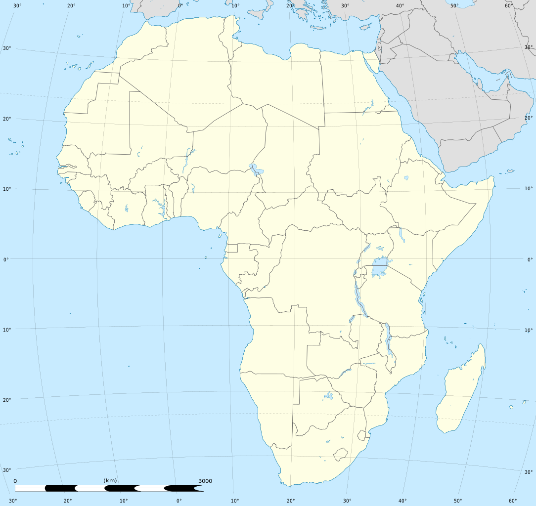
English: Blank administrative map of political Africa as in 2011-07, for geo-location purposes.
Français : Carte administrative vierge de l'Afrique politique telle qu'en 07/2011, destinée à la géolocalisation. Lambert azimutal equal-area projection, WGS84 datum
|
||
| Date | 2010-07, updated 2011-07 | ||
| Source |
Based upon File:Africa_map_blank.svg created by myself
|
||
| Author | Eric Gaba (Sting - fr:Sting) | ||
| Permission (Reusing this file) |
|
||
| Other versions |
|


| Camera location | | View this and other nearby images on: OpenStreetMap |
|---|
Licensing edit
Eric Gaba, Wikimedia Commons user Sting, the copyright holder of this work, hereby publishes it under the following licenses:

|
Permission is granted to copy, distribute and/or modify this document under the terms of the GNU Free Documentation License, Version 1.2 or any later version published by the Free Software Foundation; with no Invariant Sections, no Front-Cover Texts, and no Back-Cover Texts. A copy of the license is included in the section entitled GNU Free Documentation License. |
This file is licensed under the Creative Commons Attribution-Share Alike 3.0 Unported license.
Attribution: Eric Gaba, Wikimedia Commons user Sting
- You are free:
- to share – to copy, distribute and transmit the work
- to remix – to adapt the work
- Under the following conditions:
- attribution – You must give appropriate credit, provide a link to the license, and indicate if changes were made. You may do so in any reasonable manner, but not in any way that suggests the licensor endorses you or your use.
- share alike – If you remix, transform, or build upon the material, you must distribute your contributions under the same or compatible license as the original.
You may select the license of your choice.
File history
Click on a date/time to view the file as it appeared at that time.
| Date/Time | Thumbnail | Dimensions | User | Comment | |
|---|---|---|---|---|---|
| current | 19:20, 14 July 2011 | | 1,525 × 1,440 (529 KB) | Sting (talk | contribs) | Sudan/South Sudan 2011-07 border update |
| 20:13, 2 July 2010 |  | 1,525 × 1,440 (351 KB) | Sting (talk | contribs) | == {{int:filedesc}} == {{Location|00|00|00|N|15|00|00|E|scale:30000000}} <br/>{{Information |Description={{en|Blank administrative map of political Africa, for geo-location purposes.}} {{fr|Carte administrative vierge de l'[[:fr:Afrique|Afr |
You cannot overwrite this file.
File usage on Commons
The following 4 pages use this file:
File usage on other wikis
The following other wikis use this file:
- Usage on als.wikipedia.org
- Usage on ar.wikipedia.org
- Usage on bg.wikipedia.org
- Usage on de.wikipedia.org
- Usage on en.wikipedia.org
- 2015 CAF Champions League
- 2015 CAF Confederation Cup
- 2016 CAF Champions League
- 2016 CAF Confederation Cup
- 2017 CAF Champions League
- 2017 CAF Confederation Cup
- 2018 CAF Champions League
- 2018 CAF Confederation Cup
- 2018–19 CAF Champions League
- 2018–19 CAF Confederation Cup
- 2019–20 CAF Confederation Cup
- 2019–20 CAF Champions League
- 2020–21 CAF Champions League
- Basketball Africa League
- 2024 BAL season
- 2024 BAL qualification
- Usage on es.wikipedia.org
- Usage on frr.wikipedia.org
- Usage on fr.wikipedia.org
- Usage on ko.wikipedia.org
- Usage on pt.wikipedia.org
- Usage on uk.wikipedia.org