File:Agglomération de Vichy fr.svg

Size of this PNG preview of this SVG file: 800 × 472 pixels. Other resolutions: 320 × 189 pixels | 640 × 378 pixels | 1,024 × 604 pixels | 1,280 × 755 pixels | 2,560 × 1,510 pixels | 1,697 × 1,001 pixels.
Original file (SVG file, nominally 1,697 × 1,001 pixels, file size: 121 KB)
Captions
Captions
Add a one-line explanation of what this file represents
| Description |
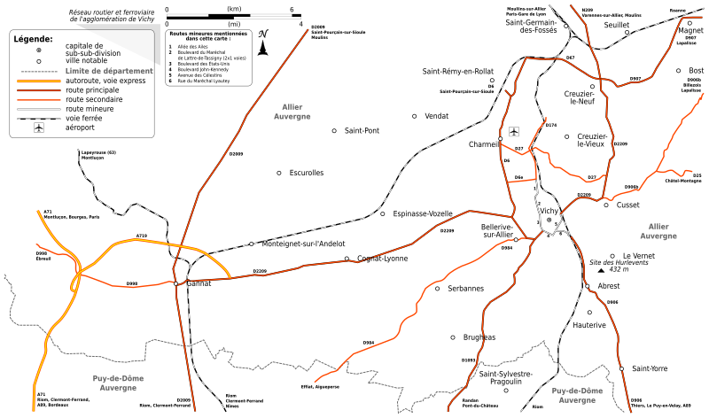
Français : Carte de l'agglomération de Vichy (réseau ferroviaire et routier). Réalisation avec Inkscape. |
| Date | |
| Source | Own work, using data from OpenStreetMap. |
| Author | Tabl-trai |
| Permission (Reusing this file) |
OpenStreetMap data: CC-BY-SA 2.0 This file is licensed under the Creative Commons Attribution-Share Alike 2.0 Generic license.
This file is licensed under the Creative Commons Attribution-Share Alike 2.0 France license.
 |
File history
Click on a date/time to view the file as it appeared at that time.
| Date/Time | Thumbnail | Dimensions | User | Comment | |
|---|---|---|---|---|---|
| current | 17:13, 12 June 2009 | | 1,697 × 1,001 (121 KB) | Tabl-trai (talk | contribs) | {{Information |Description={{fr|1=Carte de l'agglomération de Vichy (réseau ferroviaire et routier). Réalisation avec Inkscape.}} |Source=Own work by uploader, using data from OpenStreetMap. |Author=Tabl-trai |Date=2009-06-12 |Permis |
You cannot overwrite this file.
File usage on Commons
There are no pages that use this file.
File usage on other wikis
The following other wikis use this file:
- Usage on fr.wikipedia.org
- Usage on uk.wikipedia.org