File:Alagoas.png

Size of this preview: 800 × 554 pixels. Other resolutions: 320 × 222 pixels | 640 × 443 pixels | 1,040 × 720 pixels.
Original file (1,040 × 720 pixels, file size: 45 KB, MIME type: image/png)
Captions
Captions
Add a one-line explanation of what this file represents
Summary edit
| Description |
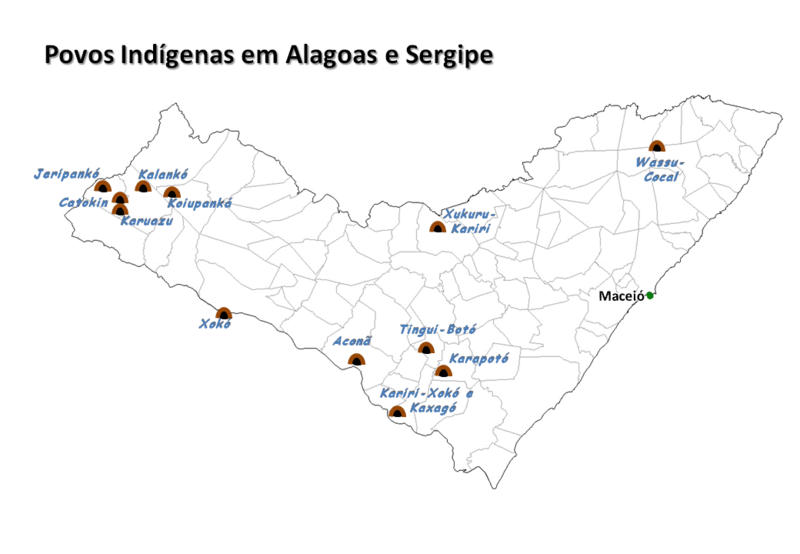
Português: Mapa localizando os povos indígenas em Alagoas e Sergipe |
| Date | |
| Source | Own work |
| Author | Epalitot |
Licensing edit
| I, the copyright holder of this work, release this work into the public domain. This applies worldwide. In some countries this may not be legally possible; if so: I grant anyone the right to use this work for any purpose, without any conditions, unless such conditions are required by law. |
Original upload log edit
| Date/Time | Dimensions | User | Comment |
|---|---|---|---|
| 16 February 2010, 00:31:07 | 1040 × 720 (47539 bytes) | Epalitot (talk · contribs) | {{Information |Description={{pt|1=Mapa localizando os povos indígenas em Alagoas e Sergipe}} |Source={{own}} |Author=[[User:Epalitot|Epalitot]] |Date=15/02/2010 |Permission= |other_versions= }} |
File history
Click on a date/time to view the file as it appeared at that time.
| Date/Time | Thumbnail | Dimensions | User | Comment | |
|---|---|---|---|---|---|
| current | 17:29, 11 August 2014 | | 1,040 × 720 (45 KB) | GifTagger (talk | contribs) | Bot: Converting file to superior PNG file. (Source: Alagoas.gif). This GIF was problematic due to non-greyscale color table. |
You cannot overwrite this file.
File usage on Commons
The following page uses this file:
- File:Alagoas.gif (file redirect)
File usage on other wikis
The following other wikis use this file:
- Usage on ca.wikipedia.org
- Usage on en.wikipedia.org
- Usage on hr.wikipedia.org
- Usage on it.wikipedia.org
- Usage on pt.wikipedia.org
- Usage on sh.wikipedia.org