File:Alaska regions map.svg

Size of this PNG preview of this SVG file: 800 × 451 pixels. Other resolutions: 320 × 181 pixels | 640 × 361 pixels | 1,024 × 578 pixels | 1,280 × 722 pixels | 2,560 × 1,445 pixels | 2,972 × 1,677 pixels.
Original file (SVG file, nominally 2,972 × 1,677 pixels, file size: 1.79 MB)
Captions
Captions
Add a one-line explanation of what this file represents
Summary
edit
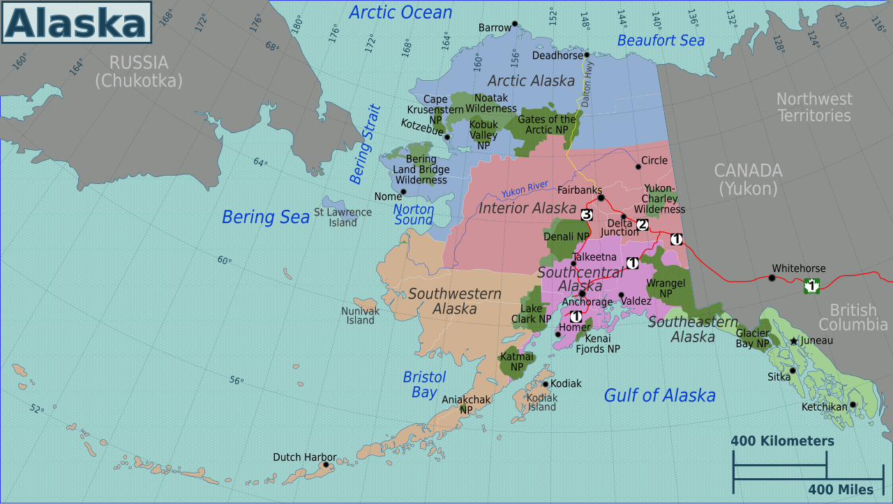
| Description | Travel regions of Alaska (Wikivoyage regional scheme), SVG source |
| Date | |
| Source | Own work |
| Author | Peter Fitzgerald |
| Other versions |
PNG versions: |
Licensing
edit
This file is licensed under the Creative Commons Attribution 3.0 Unported license.
- You are free:
- to share – to copy, distribute and transmit the work
- to remix – to adapt the work
- Under the following conditions:
- attribution – You must give appropriate credit, provide a link to the license, and indicate if changes were made. You may do so in any reasonable manner, but not in any way that suggests the licensor endorses you or your use.
Original upload log
edit
| This file was imported from Wikivoyage WTS. |
The original description page was here. All following user names refer to wts.wikivoyage-old.
- 2009-05-14 10:11 (WT-shared) Peterfitzgerald archive copy at the Wayback Machine 2878×1537 (1783968 bytes) {{Imagecredit|credit=Peter Fitzgerald|captureDate=14 May 2009|location=Alaska|source=A lot of maps, all PD (ask if you want a list)|caption= (Import from wikitravel.org/shared)
- 2009-05-15 07:04 (WT-shared) Peterfitzgerald archive copy at the Wayback Machine 2878×1537 (1803922 bytes) +new towns, fix region borders (Import from wikitravel.org/shared)
- 2009-09-15 07:02 (WT-shared) Peterfitzgerald archive copy at the Wayback Machine 2878×1537 (1804206 bytes) alter regions breakdown (Import from wikitravel.org/shared)
File history
Click on a date/time to view the file as it appeared at that time.
| Date/Time | Thumbnail | Dimensions | User | Comment | |
|---|---|---|---|---|---|
| current | 04:29, 20 November 2012 | | 2,972 × 1,677 (1.79 MB) | Avenue (talk | contribs) | Fix page boundaries |
| 09:46, 18 November 2012 |  | 2,878 × 1,537 (1.72 MB) | OgreBot (talk | contribs) | (BOT): Reverting to most recent version before archival | |
| 09:46, 18 November 2012 |  | 2,878 × 1,537 (1.72 MB) | OgreBot (talk | contribs) | (BOT): Uploading old version of file from wts.wikivoyage-old; originally uploaded on 2009-05-15 07:04:25 by (WT-shared) Peterfitzgerald | |
| 09:46, 18 November 2012 |  | 2,878 × 1,537 (1.7 MB) | OgreBot (talk | contribs) | (BOT): Uploading old version of file from wts.wikivoyage-old; originally uploaded on 2009-05-14 10:11:03 by (WT-shared) Peterfitzgerald | |
| 21:08, 17 November 2012 |  | 2,878 × 1,537 (1.72 MB) | MGA73bot2 (talk | contribs) | {{BotMoveToCommons|wts.oldwikivoyage|year={{subst:CURRENTYEAR}}|month={{subst:CURRENTMONTHNAME}}|day={{subst:CURRENTDAY}}}} == {{int:filedesc}} == {{Information |description=Alaska regions map. SVG, Alaska * Map of: Alaska¤ '''PNG files:''' *[[:wts::I... |
You cannot overwrite this file.
File usage on Commons
There are no pages that use this file.